Porcupine Gorge, Pyramid Campground, and Our Planning Process
After our whirlwind tour of the Dinosaur Trail we had a look on WikiCamps for a campsite near our final dino-destination Hughenden (home of the Muttaburrasaurus), and hit the jackpot yet again with Porcupine Gorge National Park, just 74km north.

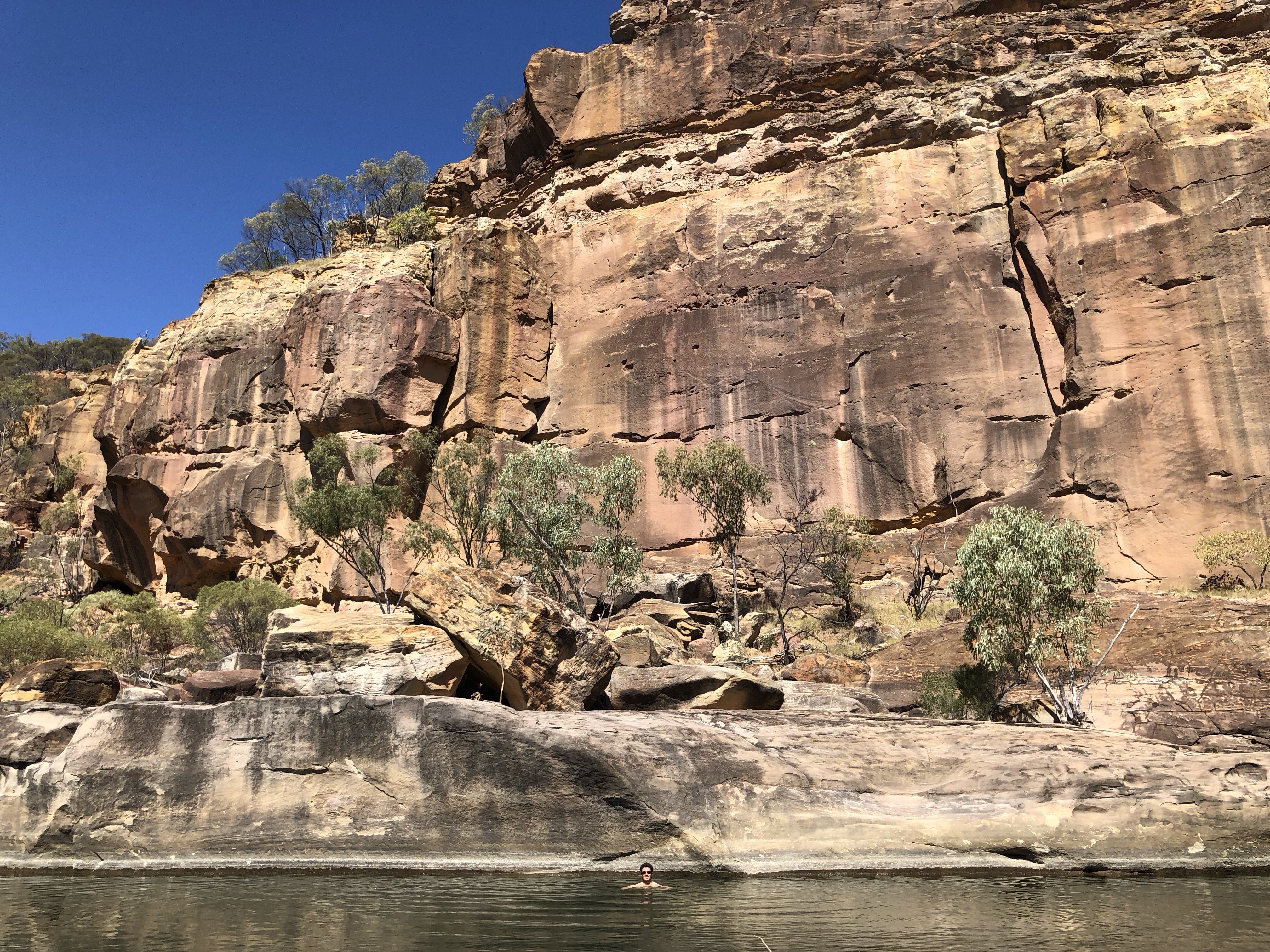
Porcupine Gorge National Park covers an area of around 5410 hectares, and extends for about 25km along Porcupine Creek. Over tens of millions of years, Porcupine Creek has excavated Porcupine Gorge, which is cutely known as Australia’s miniature Grand Canyon. Along the bottom of the gorge is a calm, meandering set of rock pools which connect up into a rushing river once the rains come down in the wet season.
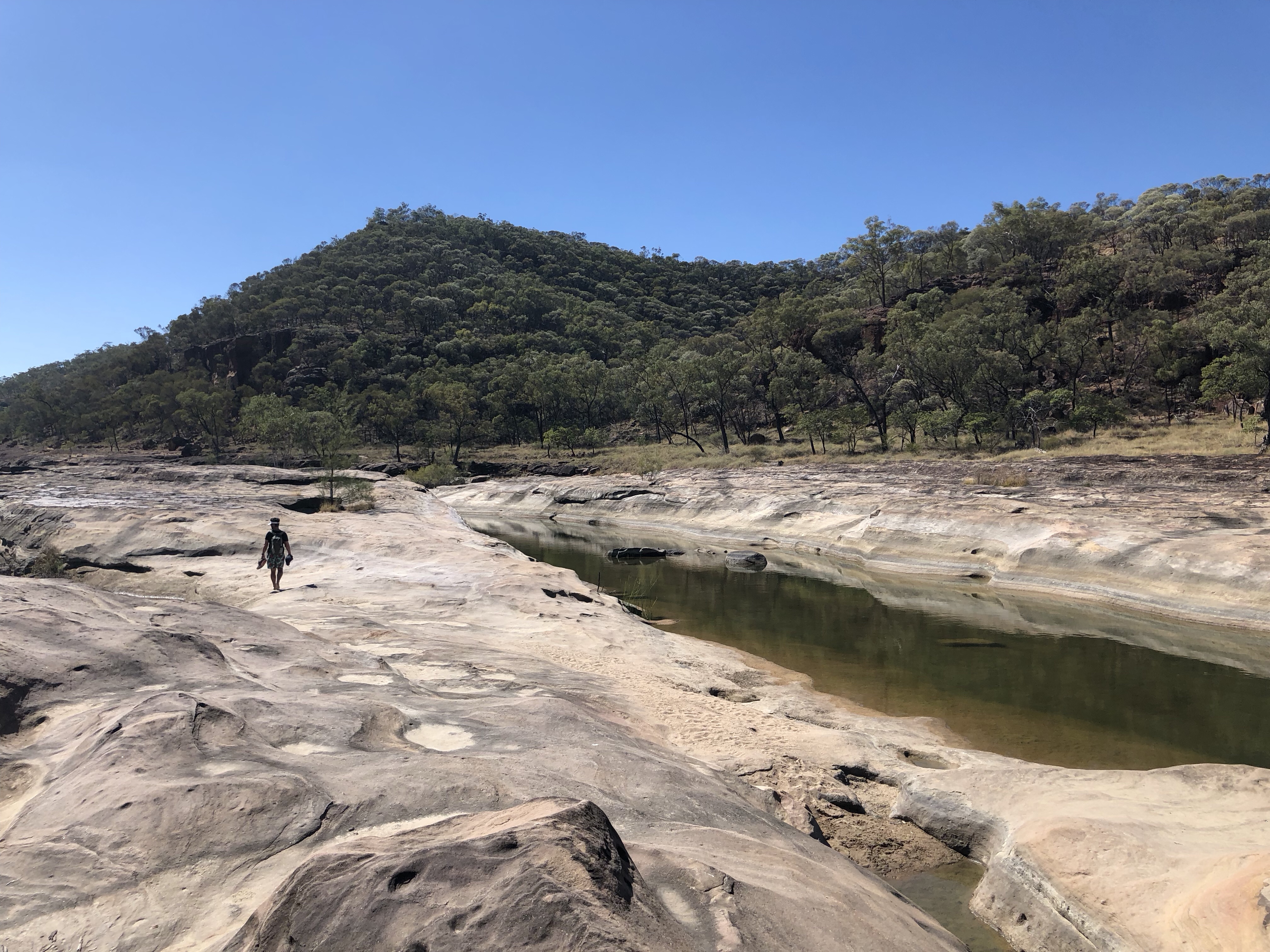
In the dry season (which we are smack in the middle of), the deepest pool at the base of the pyramid rock is a glorious place for a refreshing swim.
Along with the 1.5km track down (and back up again after your nice refreshing cool dip), there’s also a 2.5km ridge track, with a sweeping view of the gorge, creek, and the pyramid at the end.

This lookout is also a great opportunity for a selfie, of which we took many trying to find just the right angle! Thankfully the days of having to ration film are over…

We’ve decided we love camping in National Parks. The campgrounds often have at least basic facilities (read: a toilet, so you don’t have to dig a hole in the ground), they’re usually super peaceful unlike most caravan parks, and since National Parks are created in some of the most beautiful and interesting parts of the country – the surroundings are frequently so much nicer than free camp spots. In Queensland, camping in a National Park will set you back about $6 per person per night – well worth it to support these places if you ask us.
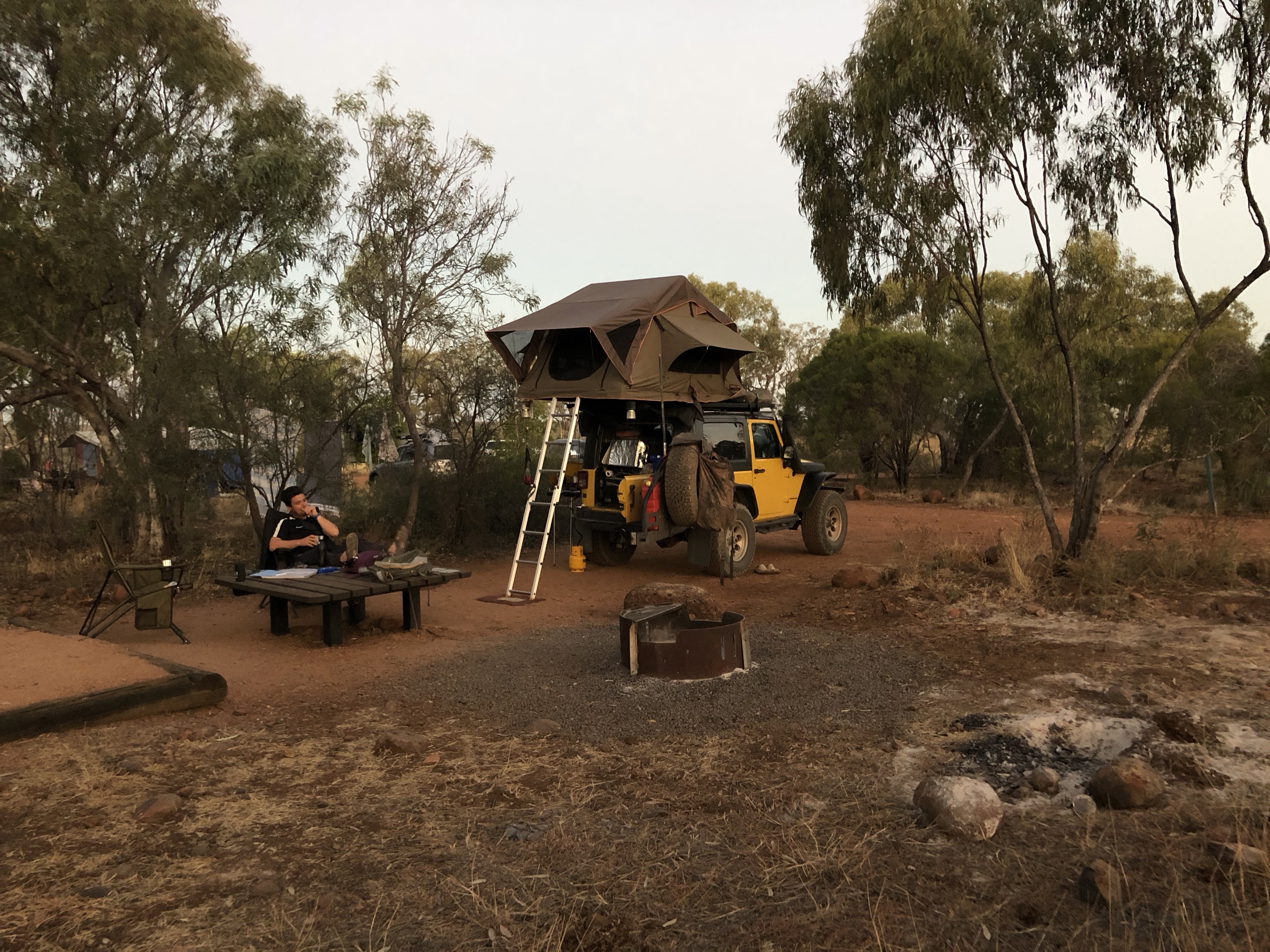
The only downside is that depending on the park, sometimes the campsites can be quite close together, and can feel a bit claustrophobic when other campers jam their large caravans or trailers in to what’s intended to be a tent site. Still, just a small trade off for the other benefits, and when we decide we want to be totally secluded, we can usually find a bush camp for free.
We also took the opportunity at Porcupine Gorge to do a bit of planning for the next leg of our trip.

In the photo above you can see almost all of the accoutrements we use to plan:
- Hema Maps 4wd Atlas (we have the 11th edition, the 12th has just been released) with our covered route from this trip & our 2017 trip highlighted, plus highlights and notes on places we want to visit
- A local tourist brochure or two for the area we’re about to drive into
- An iPad with a digital version of Hema maps for when we want more detail on an area that’s not in our paper map book
- The blue notebook contains notes I’ve jotted down while we’ve been driving from discussions we’ve had or recommendations we’ve received from others on the road
- Not pictured: Pam’s phone, mainly used for the offline version of WikiCamps
- Not pictured: the Australia Lonely Planet guide, ours is getting a bit out of date these days and becoming a little less relevant
We then cross-reference all of these materials to figure out which attractions we want to see, how we’ll get there, where we’ll camp, and what we’ll do!
This session took us about 90 minutes and represents about a week to 10 days of travelling in a very dense area (Townsville to Cairns coast). As you can imagine, it’s best completed with a pairing of wine or beer or whatever helps you not get totally stressed out by the logistics involved, which is somehow still stressful, even when you don’t really have a schedule to keep to.

During our little planning date, we made the decision to backtrack a bit, so that we can say we’ve driven the entire coast of Australia! We drove from Townsville to Adelaide on coastal roads on our 2017 trip, so now even though it’d make more sense for us to cut across directly to Cairns after our immediate next destination (Undara Volcanic National Park), we will instead backtrack about 250km to get to the coast at Townsville, so we can drive north from there.
MVP: Montreal Steak Spice! Remember how at the beginning of all this I said we had an enormous amount of Montreal Steak Spice that had gone unused from a Costco trip? Well, it’s proving invaluable, especially as we forage for groceries in outback grocery stores. At Porcupine Gorge, for example, we used it to spice up some powdered soups that we had for dinner. Winner!
So, Where Exactly Is This?
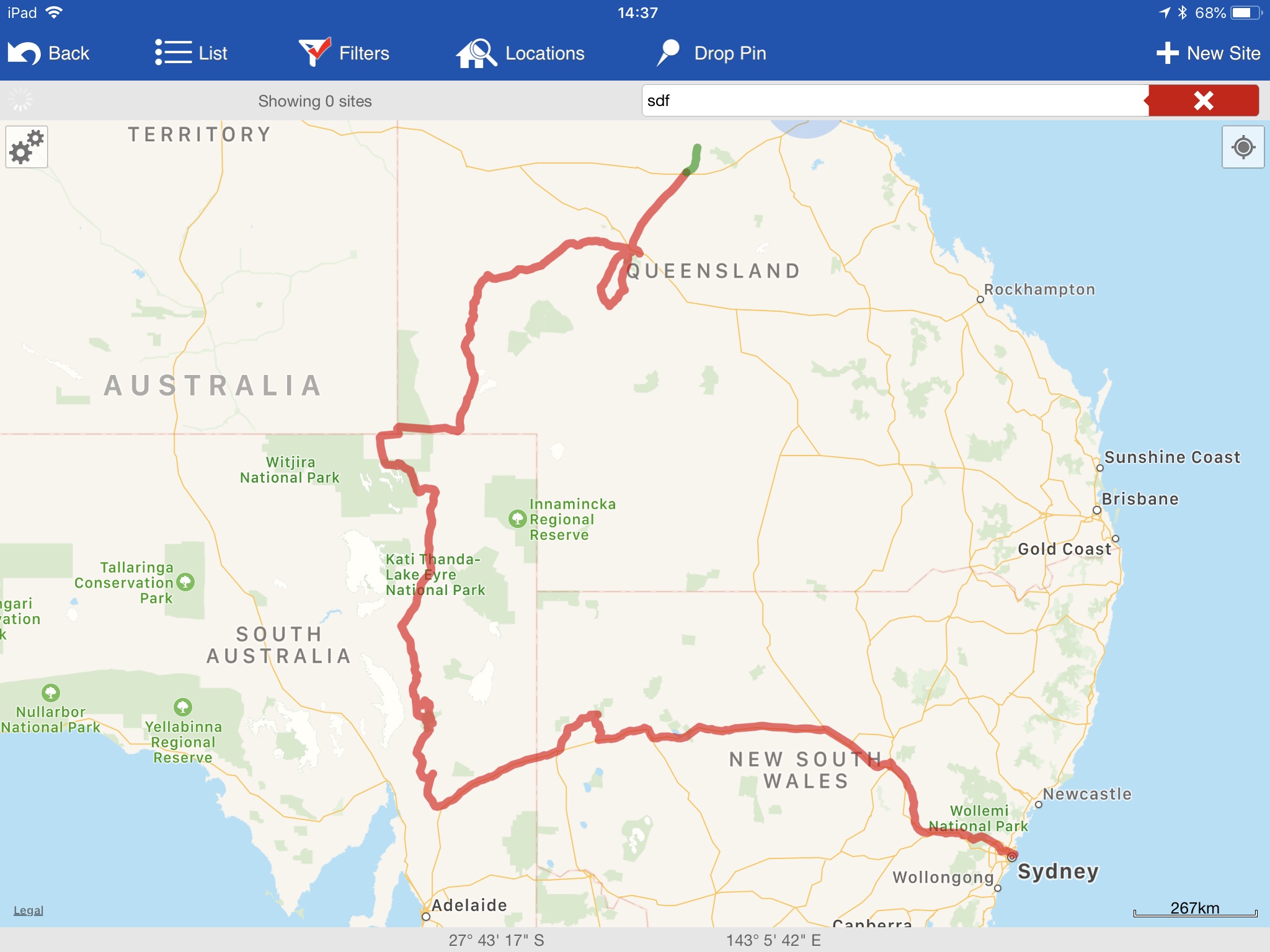
Here’s a screenshot of this leg of the journey from WikiCamps! The red is what we’ve already covered, and the green is what was featured in the post you just read. You can also follow us live at this link – our satellite device pings our shared map frequently.