Cape York Part One (Cairns to Archer River via CREB Track)
Cape York has been huge on our list of destinations for a long time. It’s home to a few epic 4wd tracks including the (in)famous Old Telegraph Track, the northernmost tip of Cape York is the northernmost tip of Australia, there are beautiful waterfalls and swimming holes, turquoise seas, world-class fishing, and lots of wildlife including some creatures that are endemic to Cape York alone.
It’s such an epic trip I think this’ll be a three or four part post – this post will cover the following: Cairns -> Daintree -> CREB Track -> Lion’s Den Hotel -> Cooktown -> Elim Beach -> Rinyirru (Lakefield) National Park -> Coen -> Archer River.

Any Cape York trip is a huge undertaking similar to the Simpson Desert – you need a lot of preparation, supplies, knowledge, and preferably a few others in your convoy to assist and support if needed.
Most itineraries and writeups of the Cape York trek begin at Cairns, but I have to admit I didn’t quite realise how close the “start” of the track was to Cairns when we left the city on Nick’s birthday (10 August).
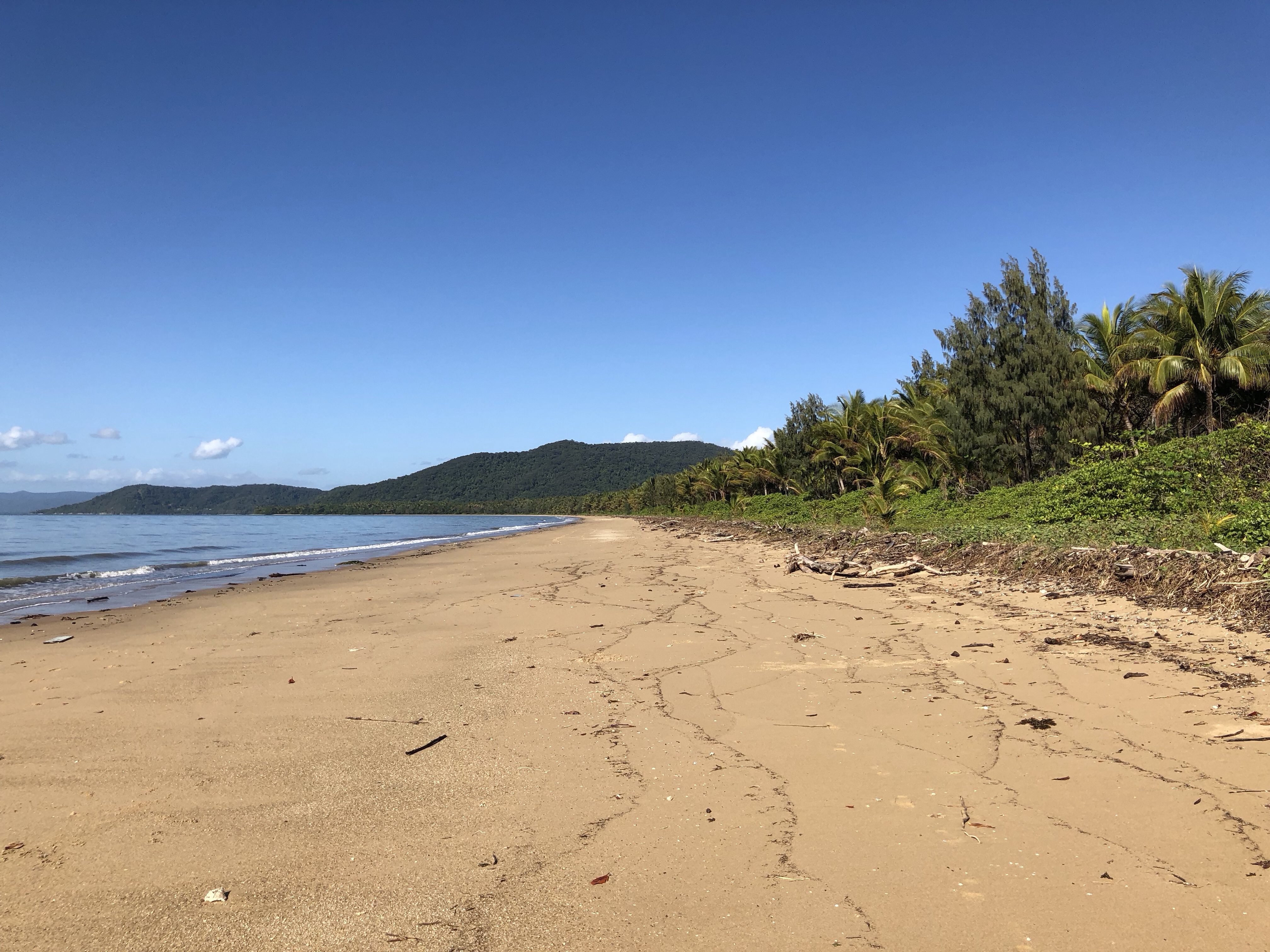
We camped at Wonga Beach that night, a lovely little campground on the ocean, with grassy campsites and coconut palm trees (and crocodiles of course – as usual, no swimming).
The next we had a slow morning (our favourite – coffee and news and video chats with family), and moseyed up to Daintree Village for lunch (an excellent crocodile burger) at the Daintree Pub.

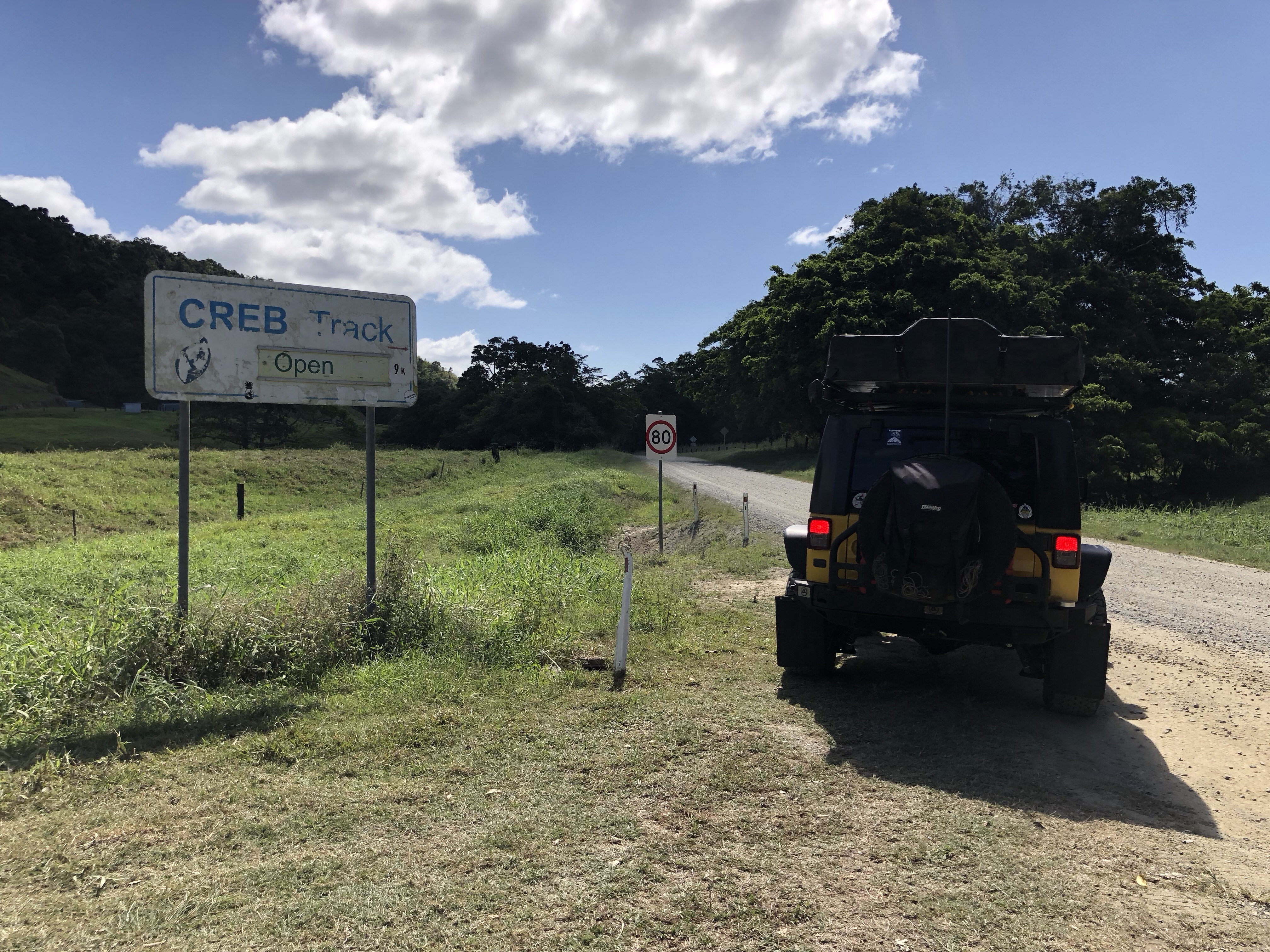
While discussing our upcoming Cape York trip, we realised that one of the tracks we wanted to take – the CREB Track (a very steep red clay track through the rainforest which is absolutely impassable if there’s even a little rain as the clay becomes slippery) – actually started from Daintree Village. A little panic set in, I have to admit – “eek, I’m not ready!” – but given the extremely dry conditions we agreed to set off on the 72km track and see how far we could get by dark. It was about 3pm, and we were pretty sure that we’d only get halfway at best, but we thought – why not start, we’re here!
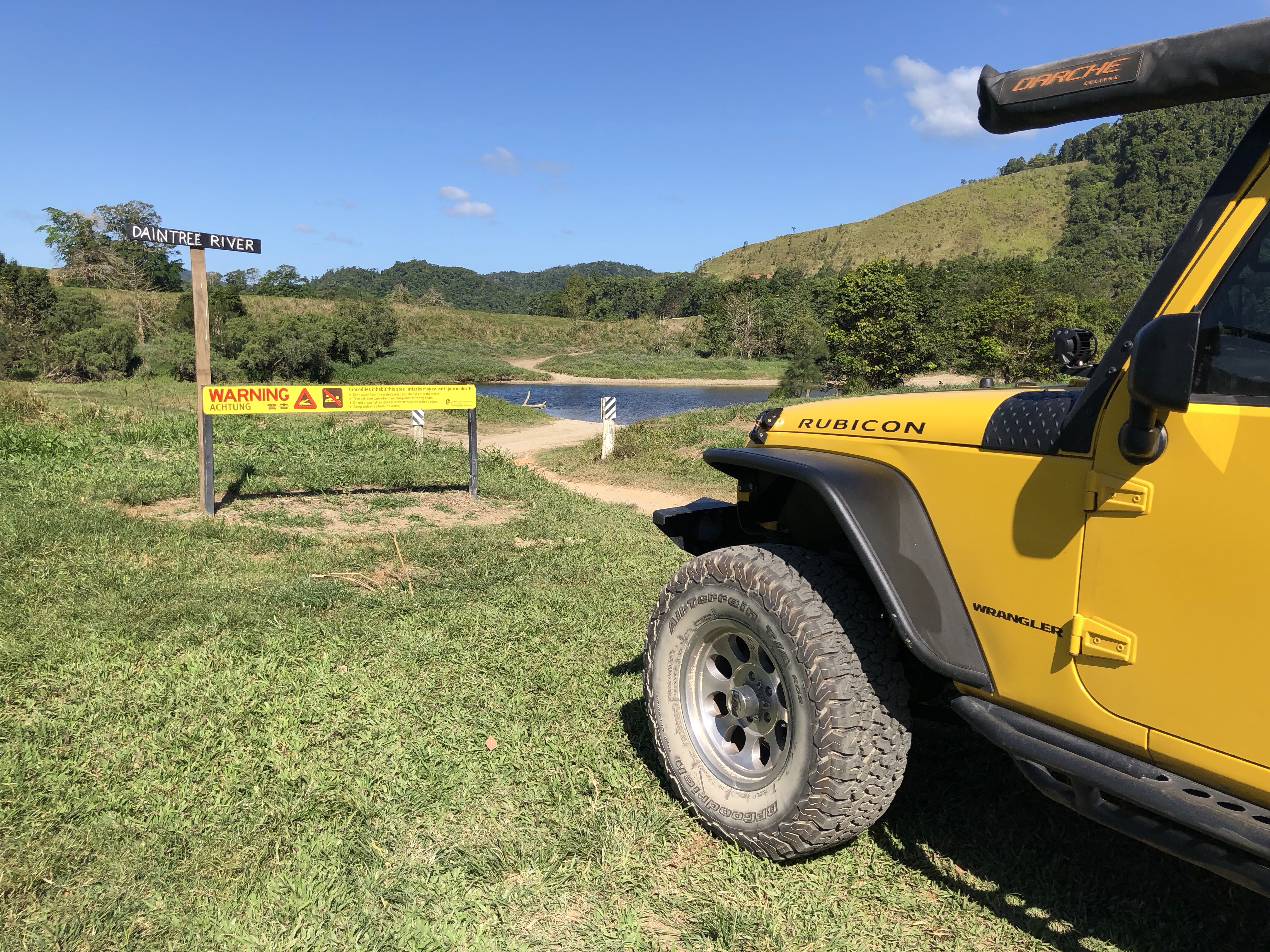
The first obstacle of the CREB is the Daintree River Crossing, known to be an area inhabited by crocodiles, meaning the crossing shouldn’t be walked to judge depth and any submersed obstacles. Luckily another vehicle happened along shortly after we pulled up and we were able to watch the line they took and follow their lead (hugging the bank to the right until the exit point was ahead, in case you are ever in the same situation!).
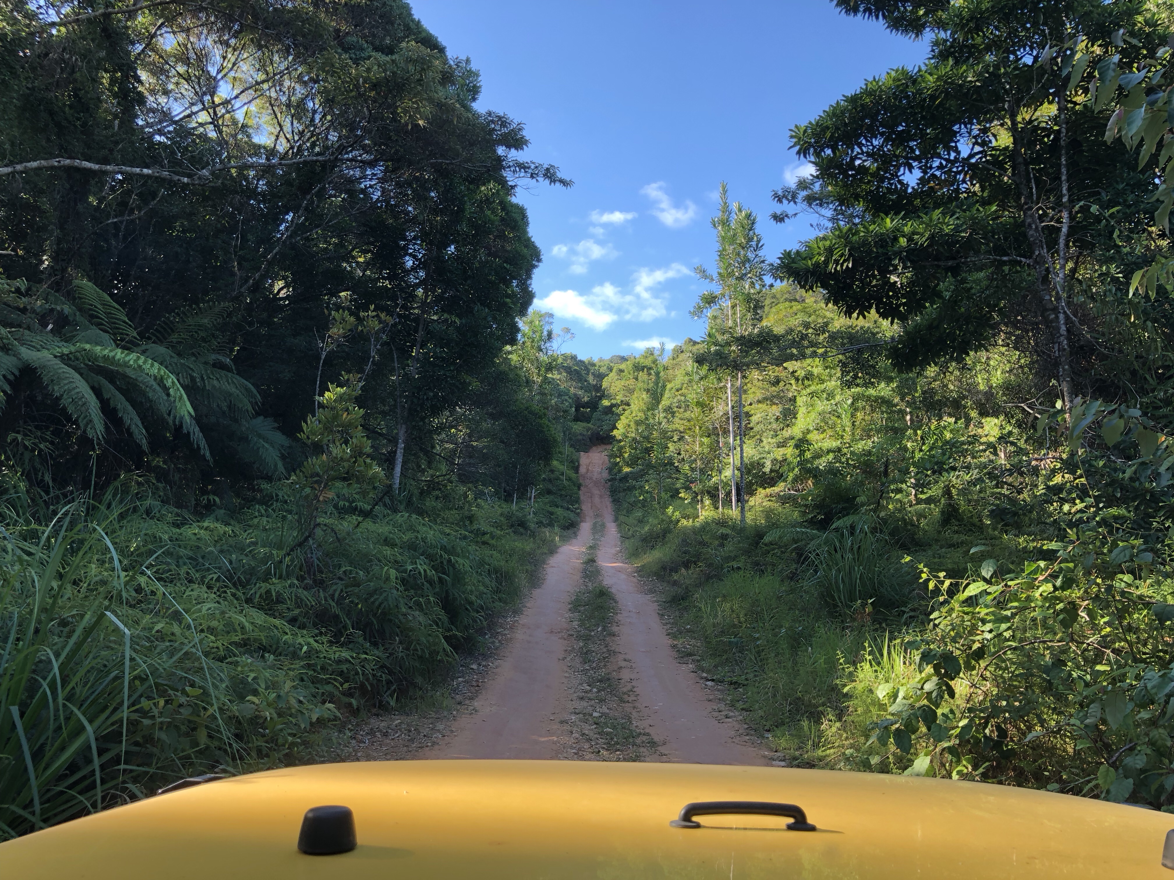
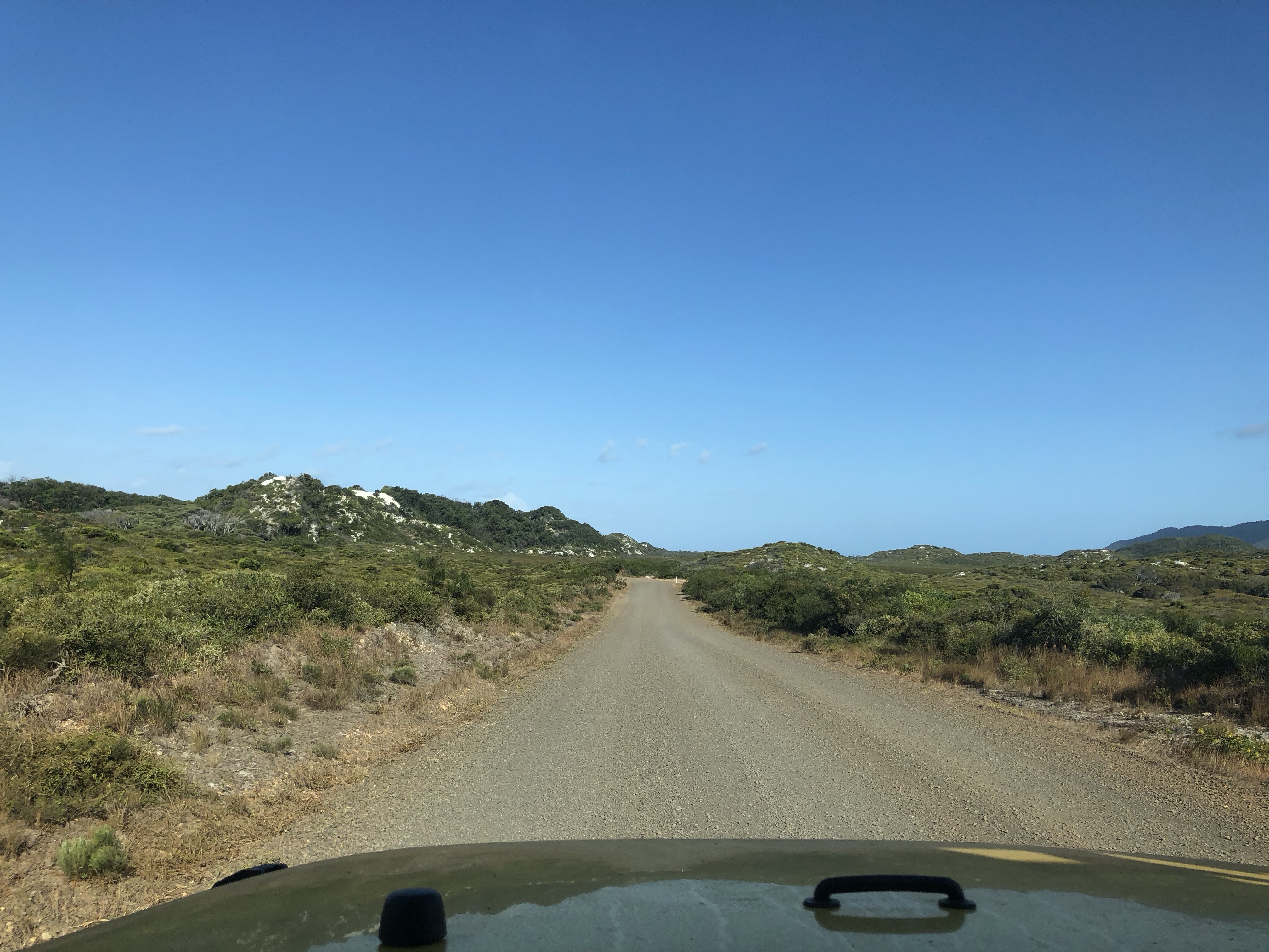
There weren’t too many other major obstacles on the CREB, it’s a lot of steep up and down, with an occasional creek crossing. All the crossings were very low when we were there making the track fairly easy going. Photos never do incline justice as every 4 wheel driver knows! But this is what the majority of the track looked like.
In the middle of the track there’s a waterfall called Roaring Meg which is significant to the local Aboriginal culture. There’s a beautiful walking track to the top of the falls and a swimming area at the beginning of the track (well back away from the current that’d sweep you over!). The traditional owners of the falls ask that you not take photos of this area – so I didn’t – but many others have, if you’d like to have a look on Google.
We had camped just before reaching Roaring Meg as it took us a few hours to complete the first part of the track (yes, a few hours to get through 50km – this track is steep!), and it’s not smart to drive after dusk in rural areas of Australia mainly due to the higher risk of hitting roaming wildlife and farm animals. Our camp area was called Yindilli, which is run by an Aboriginal Elder who was very happy to have a chat and share hints of some of the local lore and stories of his past. We both wished we’d had more time to chat with him as we could sense that he was an absolute wealth of information. Hopefully our paths will cross again – who knows out here!
The next day we hit up Roaring Meg for a walk, a swim, and some lunch and lizard spotting before continuing to the Lion’s Den Hotel (another destination in our Outback Pub book), where we would stay the night.
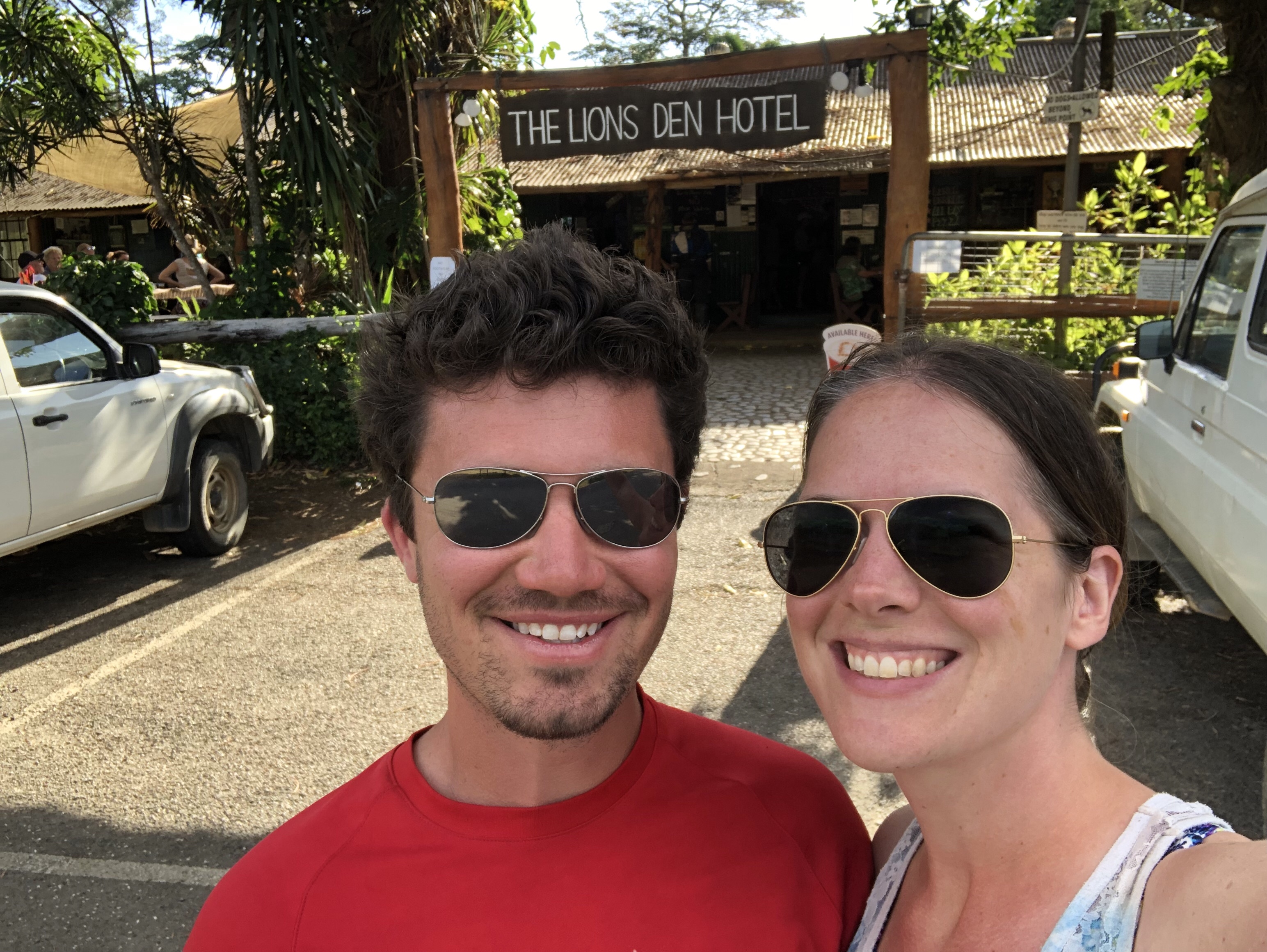
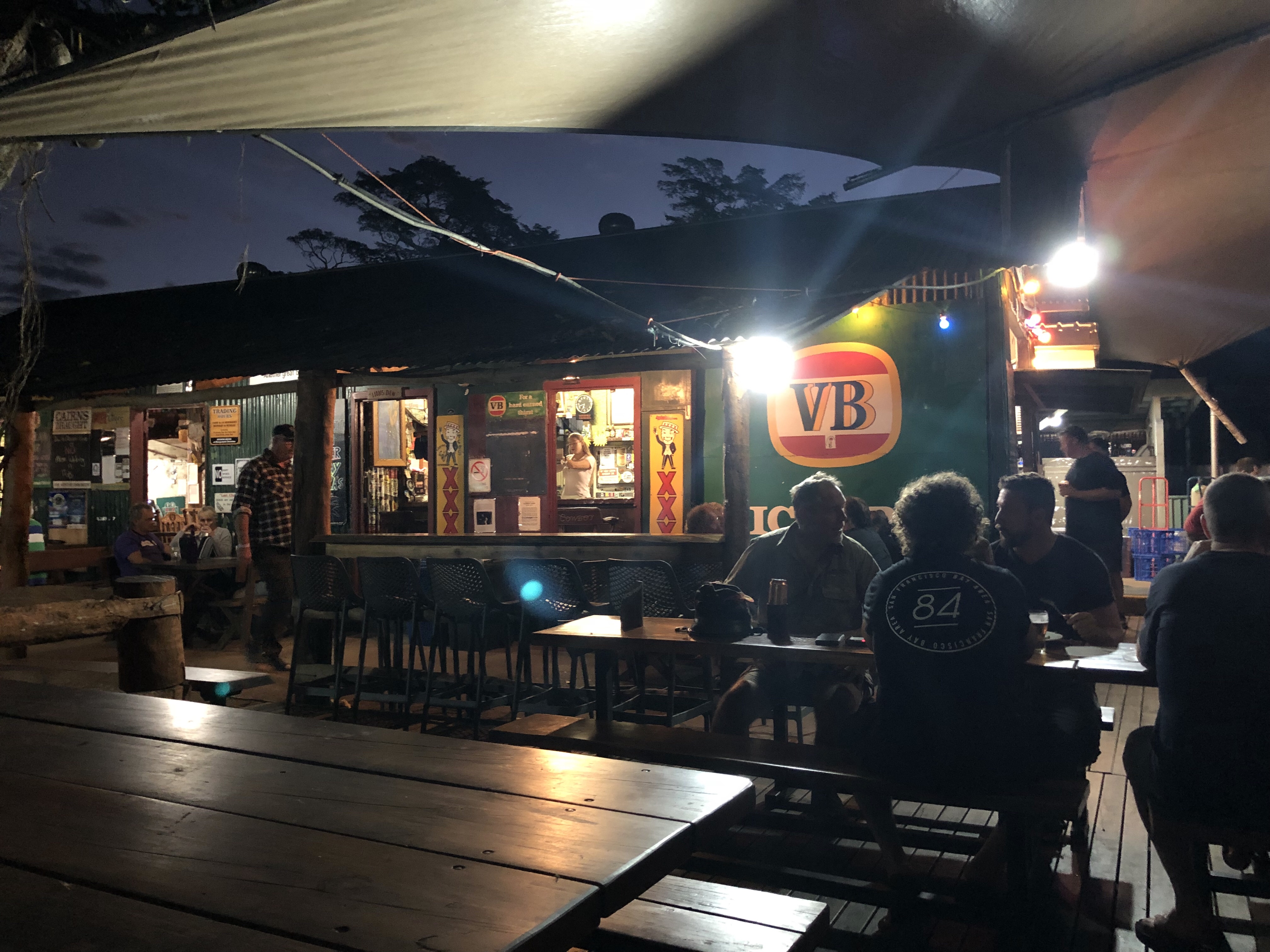
Camping out behind a pub is a very common thing out here, and the Lion’s Den has a lovely campground with a creek running nearby. Bonus, they have an excellent restaurant where you can grab a delicious pizza and a few (or in our case a few too many) beers.
Needless to say, we were pretty happy after accomplishing the first 4wd track of our Cape York trip! And we hadn’t seen anything yet…
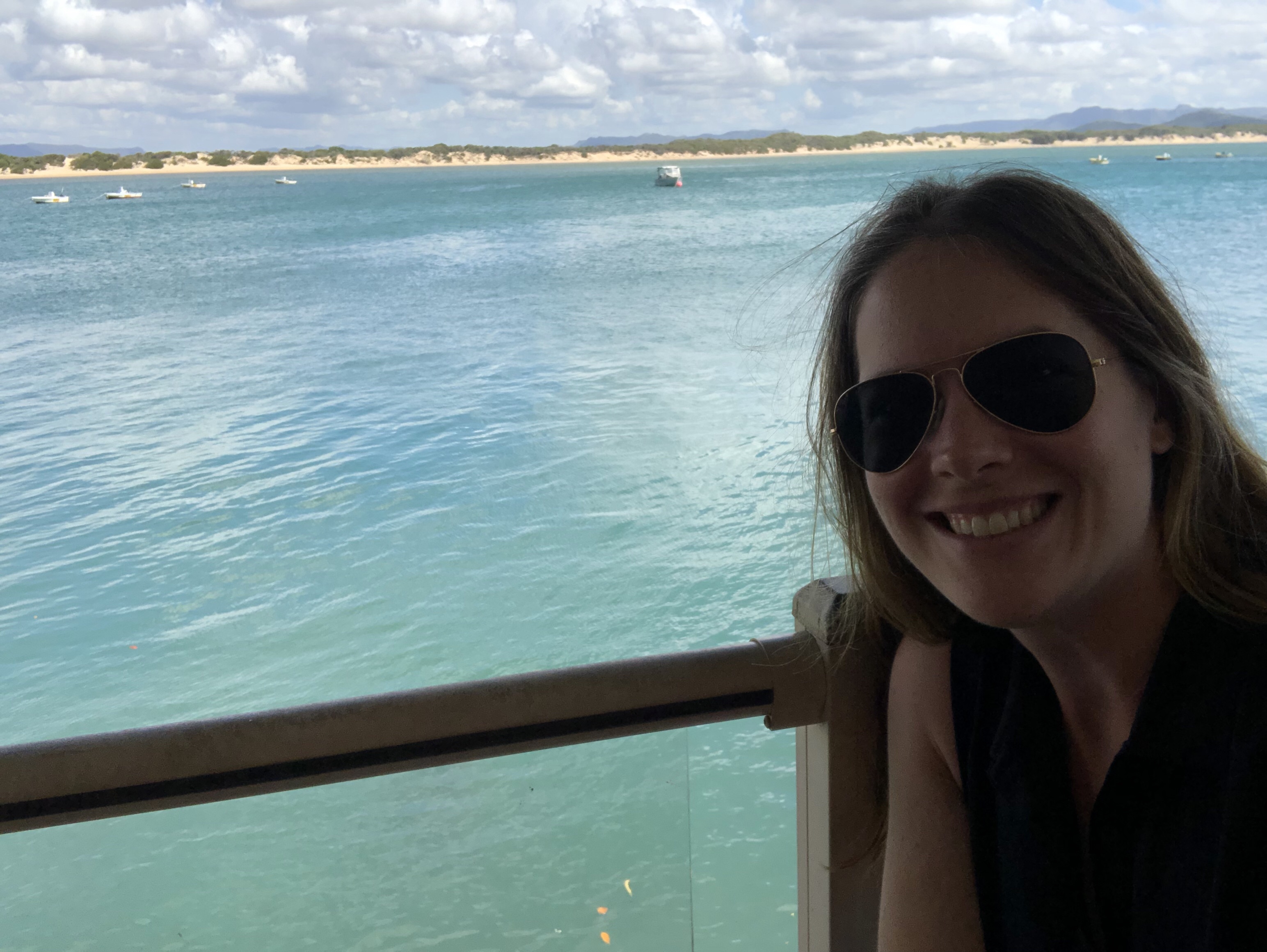
The next stop was Cooktown for a little sightseeing. Cooktown is the site where Captain James Cook beached his ship after damaging it on a reef near Cape Tribulation (some kilometres south of Cooktown). It’s at the mouth of the Endeavour River (named after Cook’s ship), and firmly up in tropical paradise, with gorgeous bright blue waters, white sands, and green jungle framing the town.
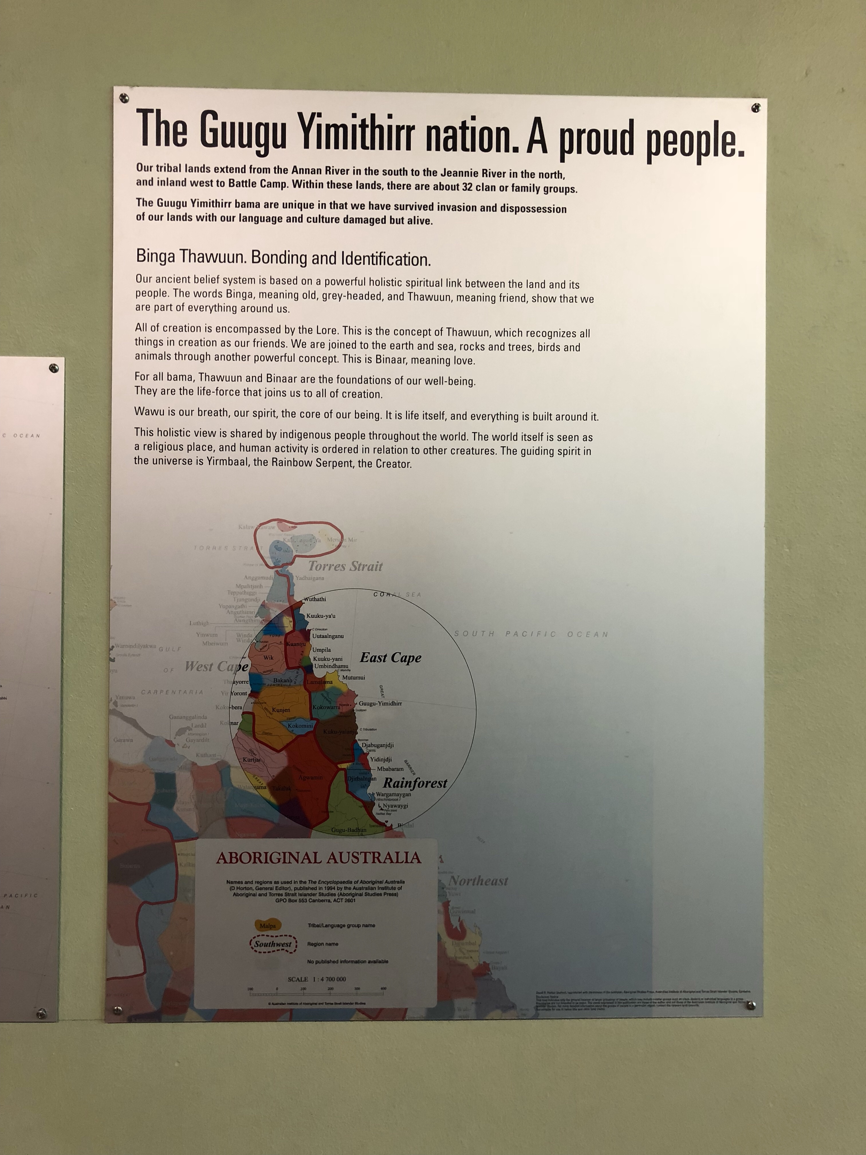
It’s also the site of the first contact with an Indigenous nation, the traditional owners of Australia. The story is written from the perspective of the native people and shared at the James Cook museum in a number of exhibits. I really appreciated getting to see this point of view.

It’s amazing how many different “countries” there are within Australia. Here’s a great map we found showing how the country was divided before European invasion:

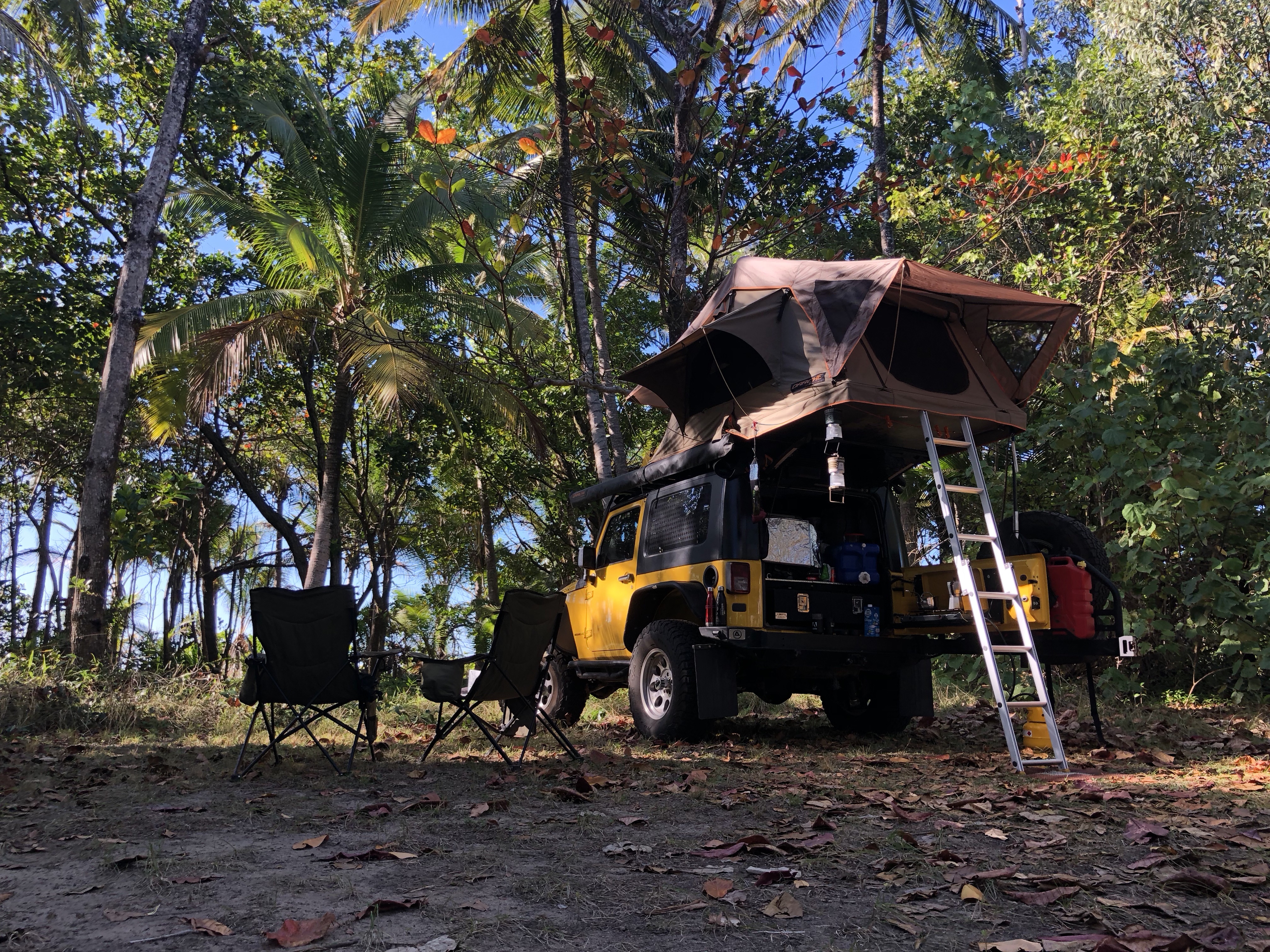
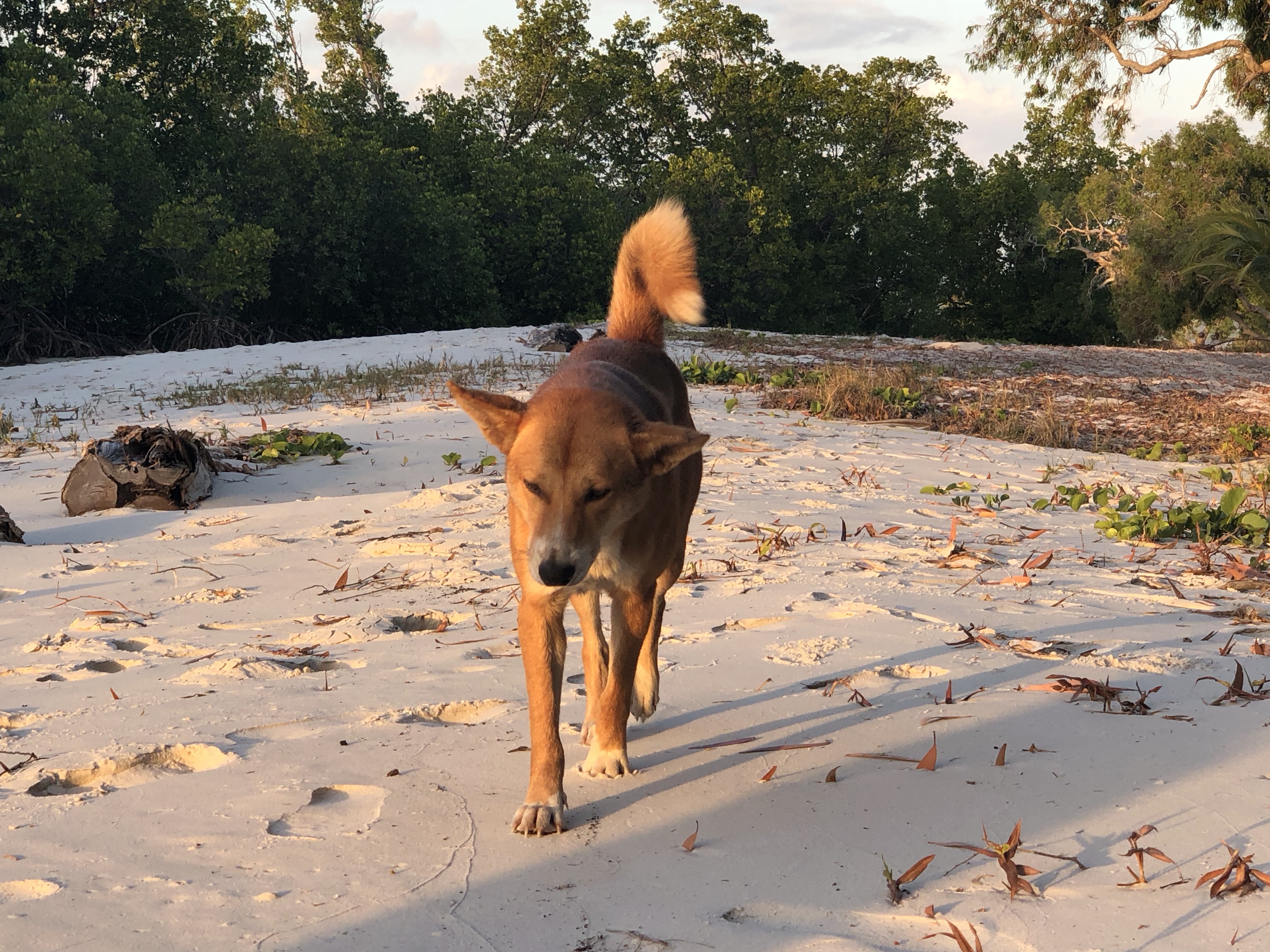
From Cooktown it was off to camp at Elim Beach for the night, where we scored yet another amazing beachside campsite, watched an awesome sunset, and made friends with the camp dog (possibly part dingo judging by his colouring).

We had meant to stay at Elim Beach for 2 nights, but in the morning when we woke up it was a bit drizzly and rainy, so stuff that – onward it was – to Rinyirru (Lakefield) National Park. At Rinyirru we stayed at the Hann River Crossing, and had another one of those completely private campsites we’ve talked about before, with not another camper in site. We were up high on the banks of the Hann River, and spent the evening looking for crocodiles – of which we read there were many.

No crocodiles were spotted, but the gleaming orange eye of one was possibly seen on the opposite bank at night, and aggressive chomping noises and splashing were heard once we were safely up in the tent.
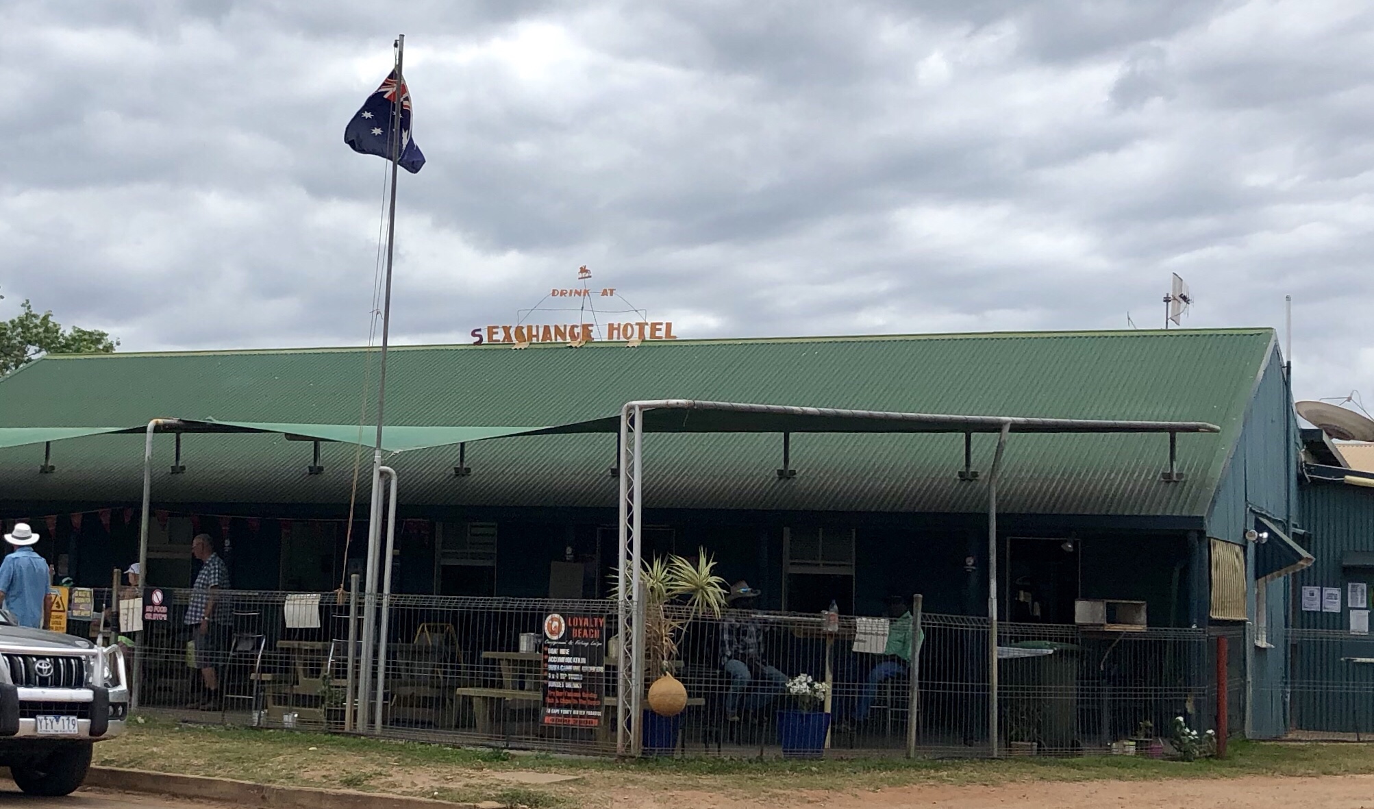
The next stop on our list was Coen for a re-stock (and a bevvie at the “S”Exchange Hotel – the “S” was added one night by a prankster/patron and the name stuck).
At the sExchange there was a bit of a reminder of why Outback prices are higher than you may be used to…

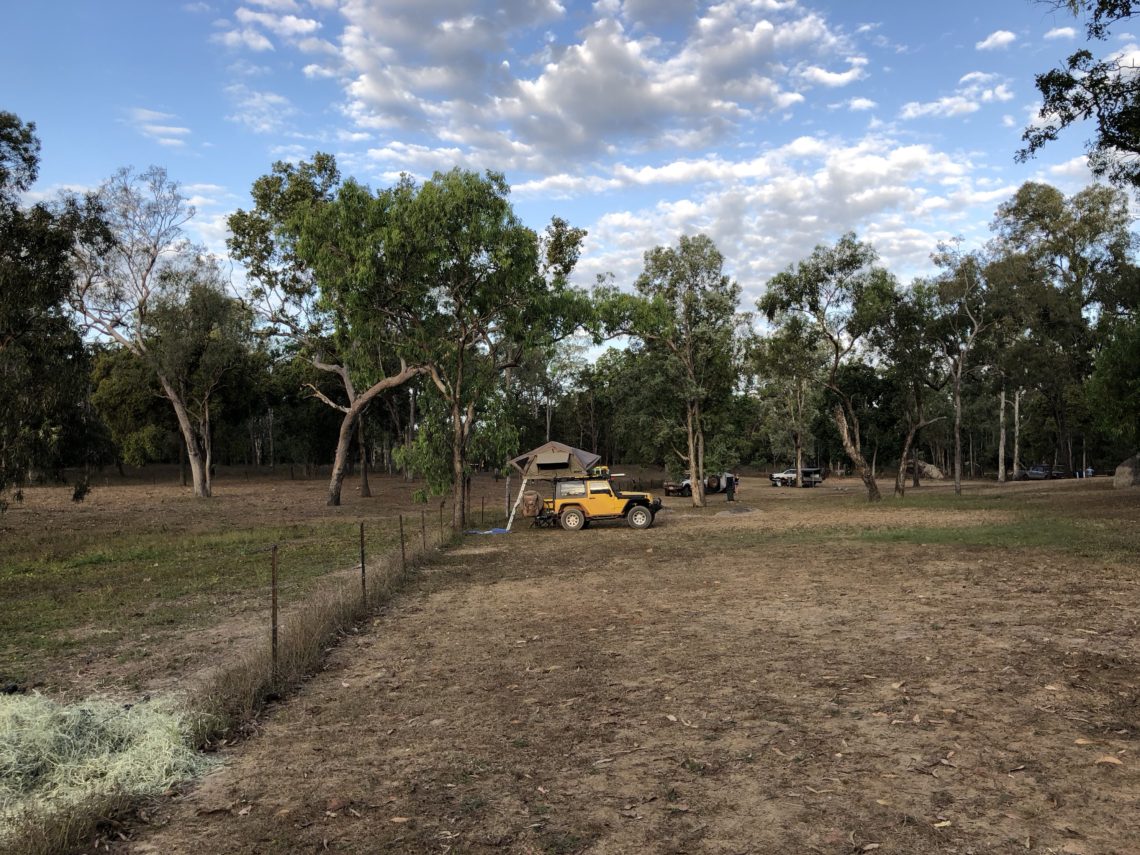
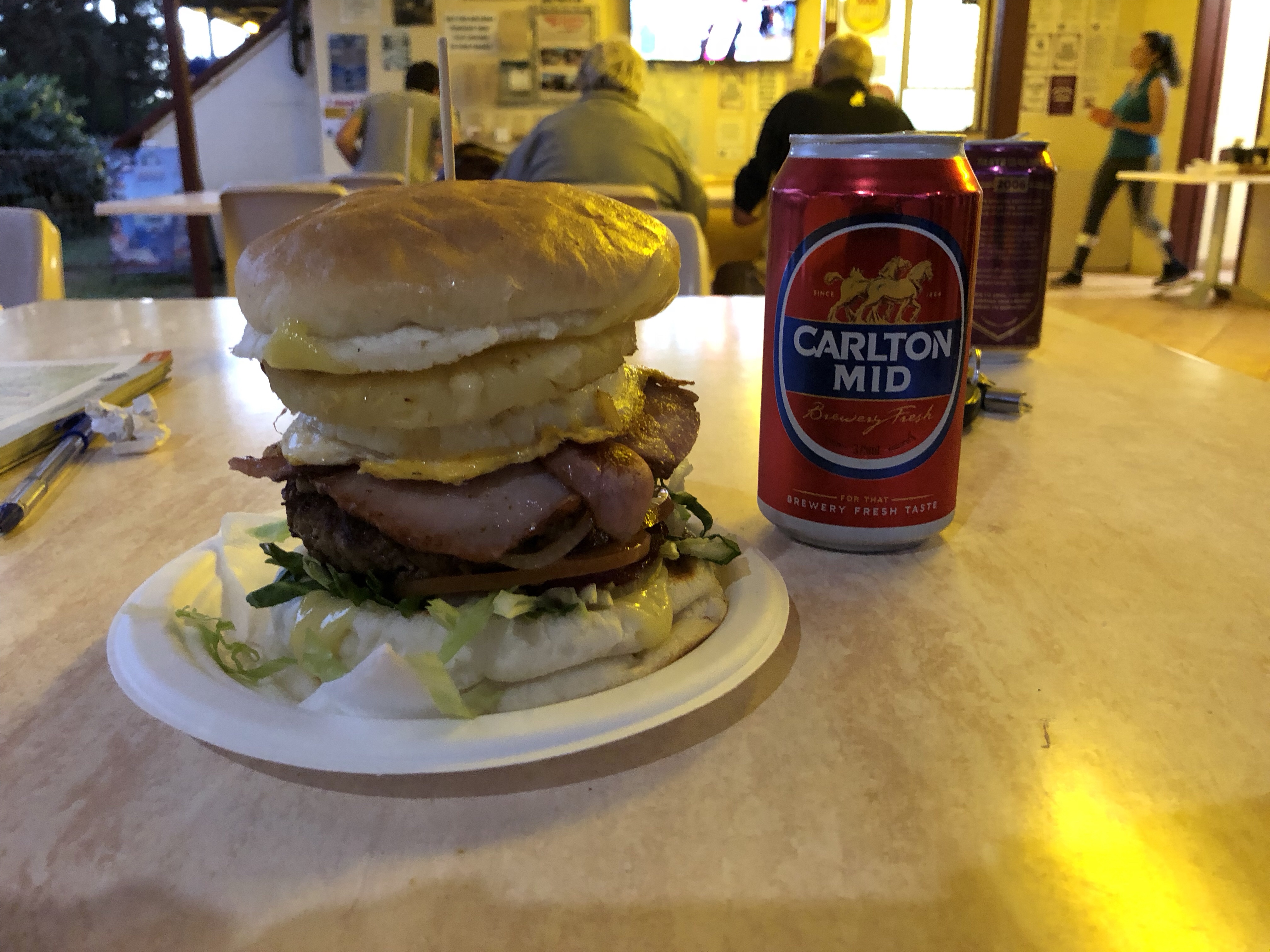
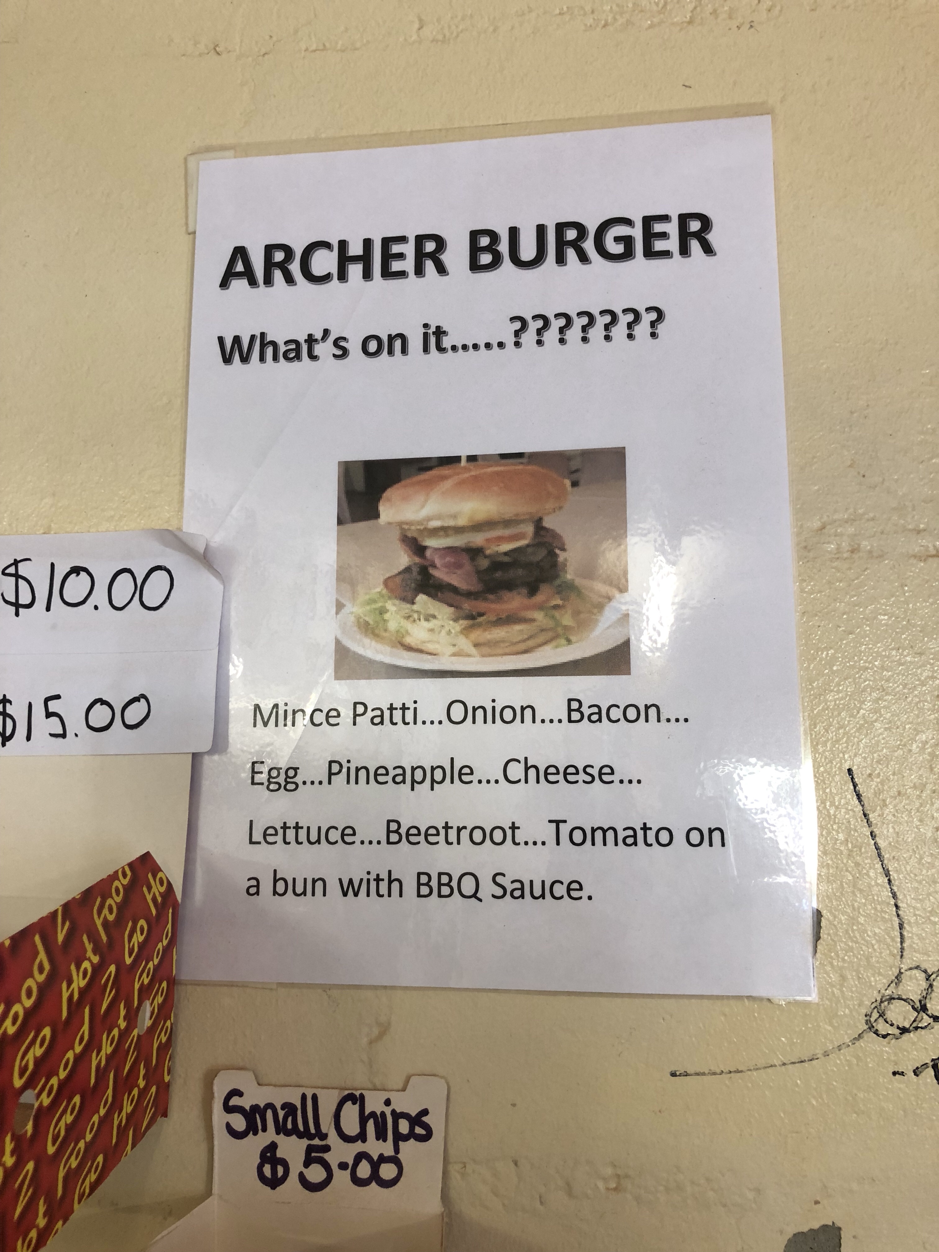
But at our next stop for the night at Archer River Roadhouse, where fuel was a shocking $2.20 per litre (roadhouses before and after Archer charged around $1.80 to $2.00) and a cup of instant coffee cost $5 (now that’s just criminal)…we wondered if some places may be taking advantage.
The Archer burger was pretty nice though.
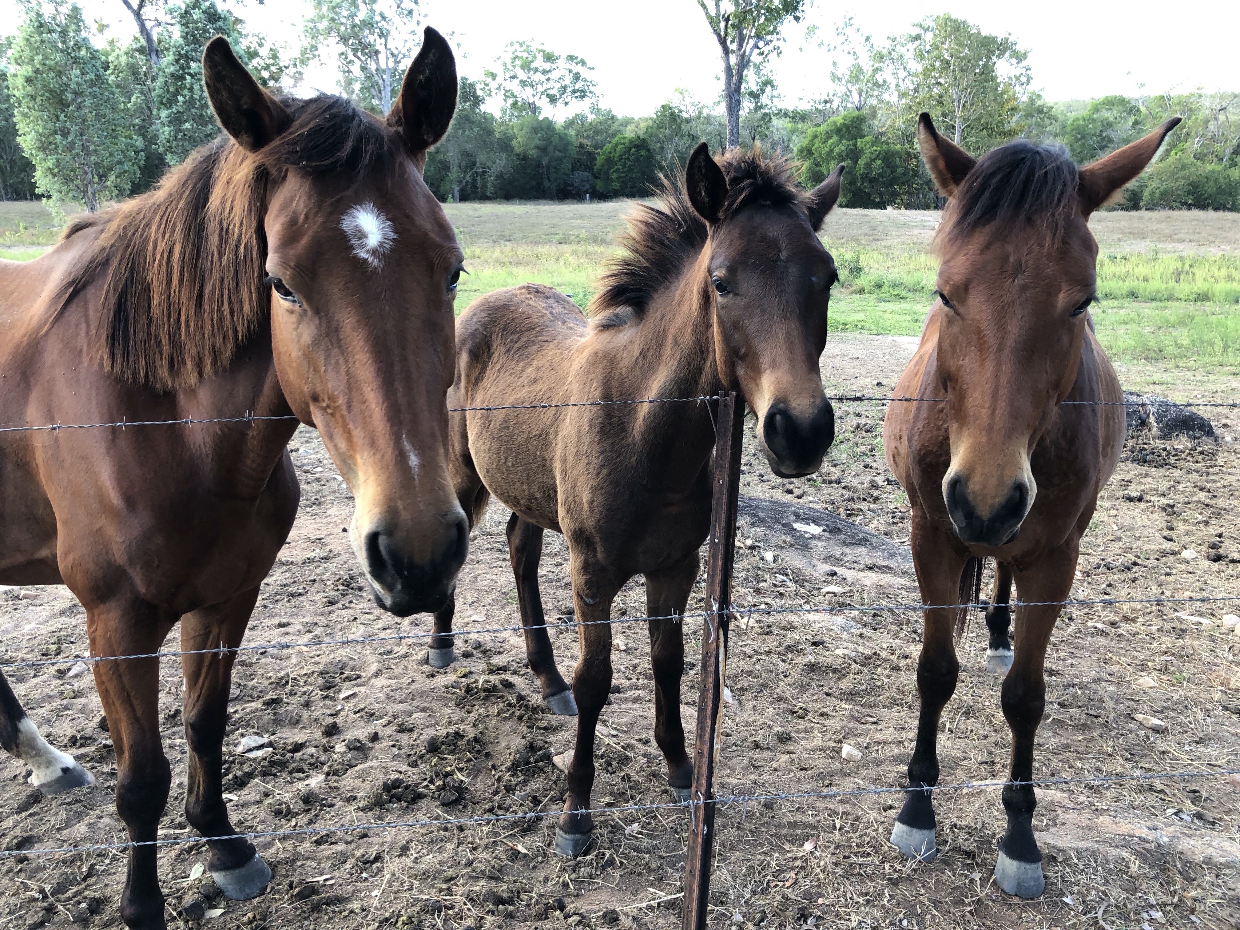
And we camped at the back of the campground near the fence, and made some lovely friends.

The next day we had an early start and it was off to tackle the Frechman’s Track, another famous track that has been on Nick’s bucket list for years! I’ll be starting a new post for that one so stay tuned.
MVP Award: Nick advocated HARD for upgrading our suspension, shocks, and springs before undertaking this trip. I have to admit I wasn’t sure of the point – it was a few thousand dollars for the parts and labour to do so – but OMG – has it ever paid off. We are pretty comfortable on the terrible roads, much more comfortable than we would have been otherwise (and don’t get me wrong – it’s still pretty uncomfortable!)
So, Where Exactly Is This?
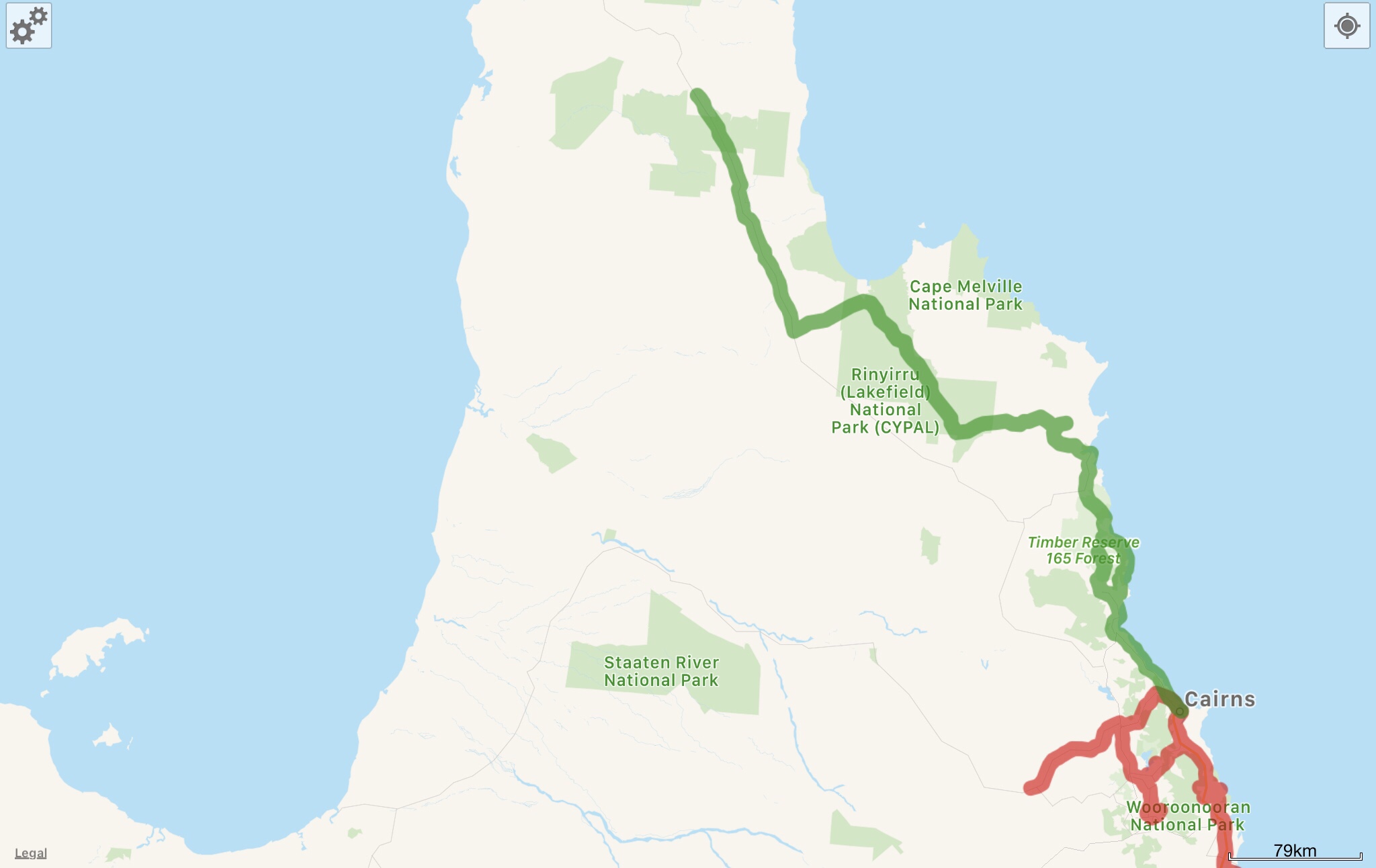
Here’s a screenshot of this leg of the journey from WikiCamps! The red is what we’ve already covered, and the green is what was featured in the post you just read. You can also follow us live at this link – our satellite device pings our shared map frequently.