Uncategorized
-
Eating and Drinking (mostly drinking) our way through Adelaide and the Barossa
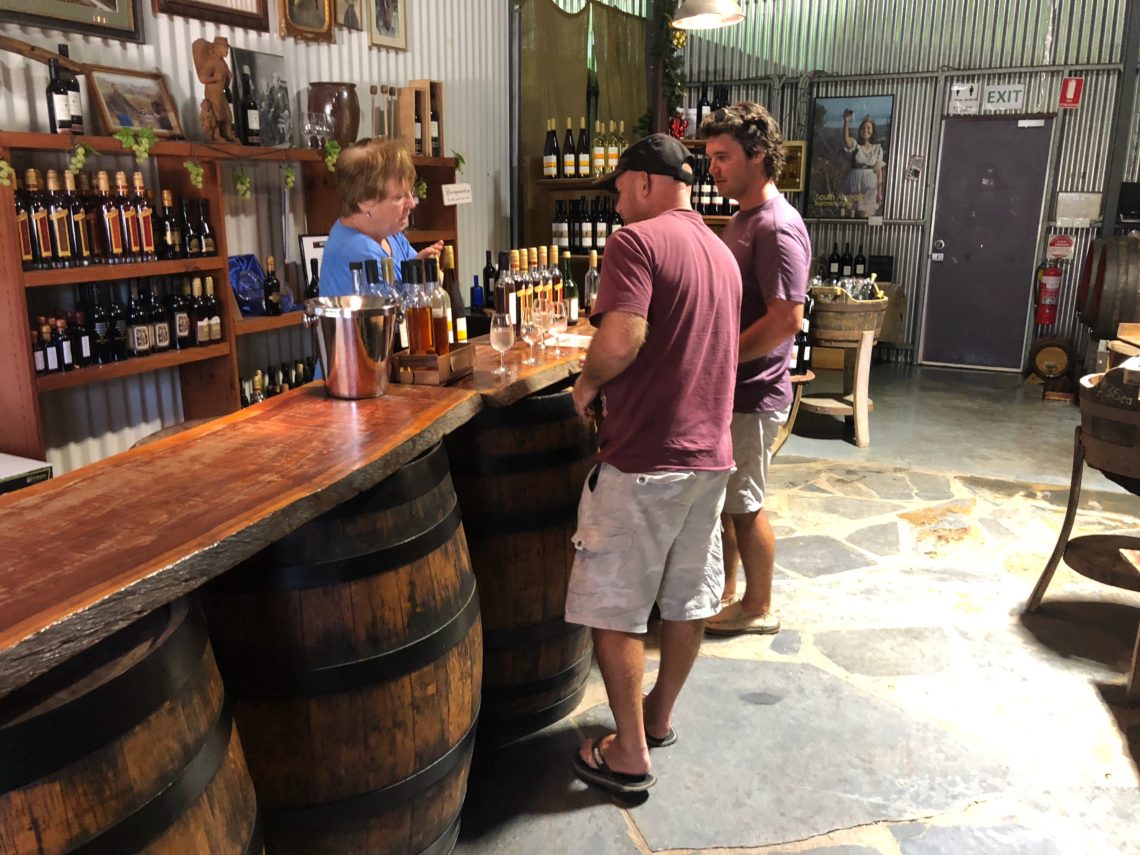
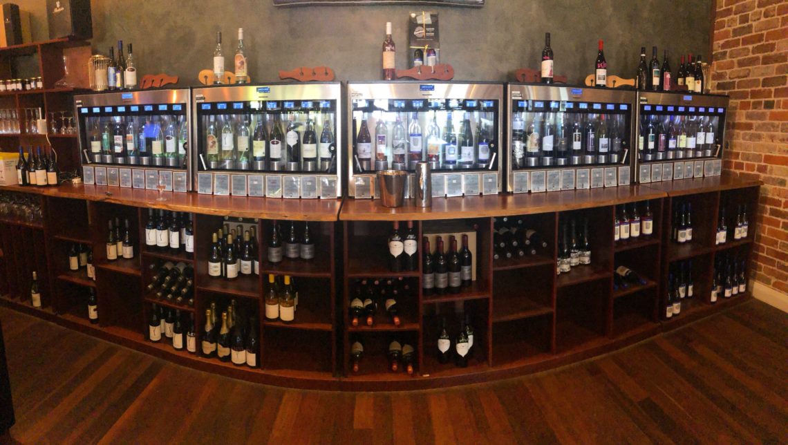
Adelaide is the capital of South Australia, and the fifth-largest city in Australia (topped by, in order from largest to smallest: Sydney, Melbourne, Brisbane, and Perth). Aussies often describe Adelaide as “a big country town”, meaning that it’s friendly, informal, quiet, clean, and chilled out. Our friends from Adelaide really love it there, and speak so highly of it, and enthusiastically gave us long lists of recommendations of things to see and do. Adelaide also boasts access to some deservedly world-famous wine regions: Clare Valley, Barossa Valley, McLaren Vale, and the Coonawarra. Our livers and waistlines were (somewhat) recovered from our time in Margaret River, so we were soooo ready…
-
The Yorke Peninsula
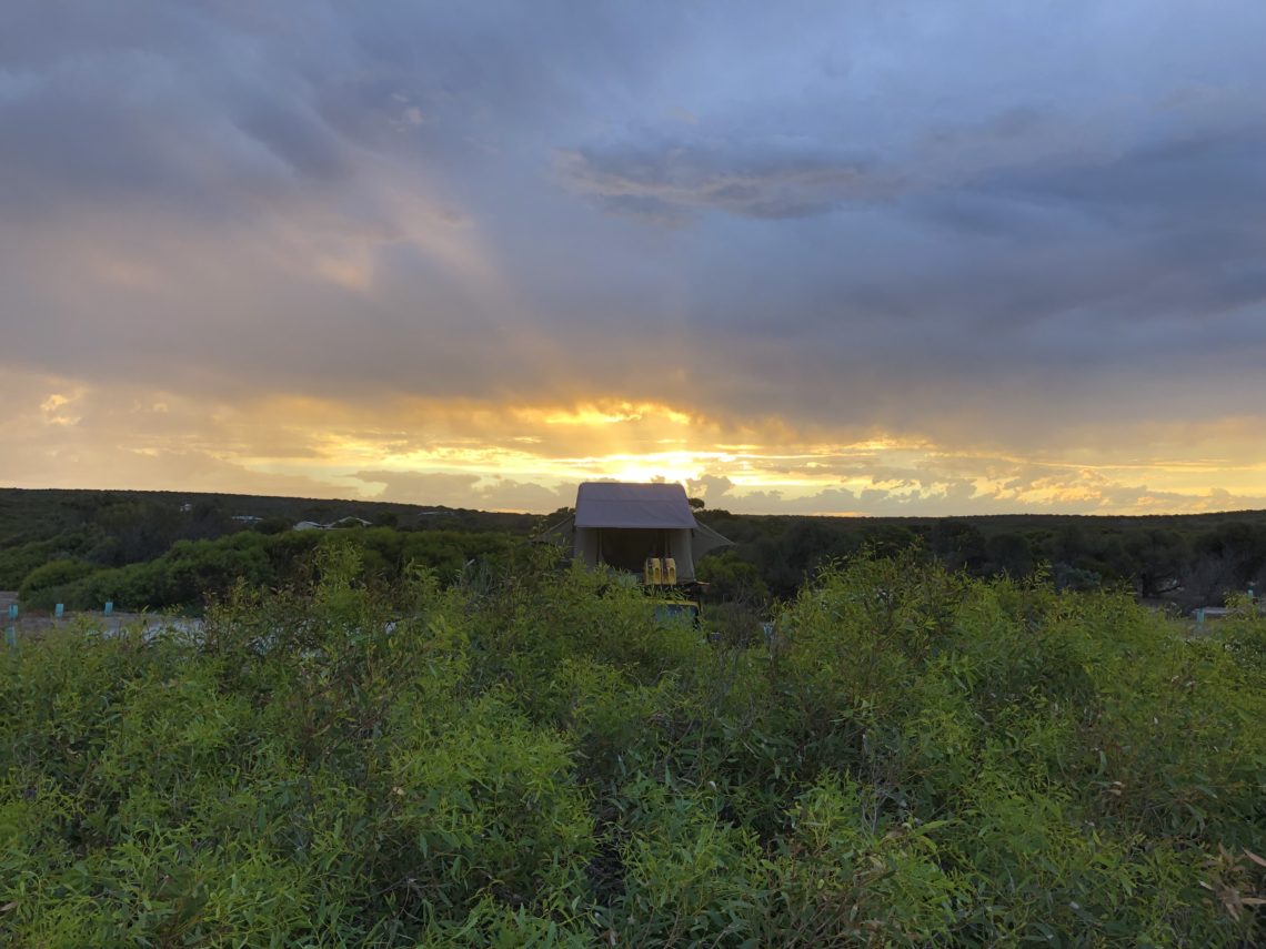
The Yorke Peninsula is the sort of boot-shaped peninsula near Adelaide and was another area we were eager to explore after we had to give it a miss during our 2017 trip. We didn’t know much about it other than knowing of Innes National Park, which apparently had some interesting white-settler history, and some gorgeous beaches and lookouts. But first, it had been a while since we last showered ? And this is also a good time to tell you a little about one of the money-saving pro tips we’ve implemented over the last 7 months of the trip: the cheap shower. These showers are usually found at truck stops,…
-
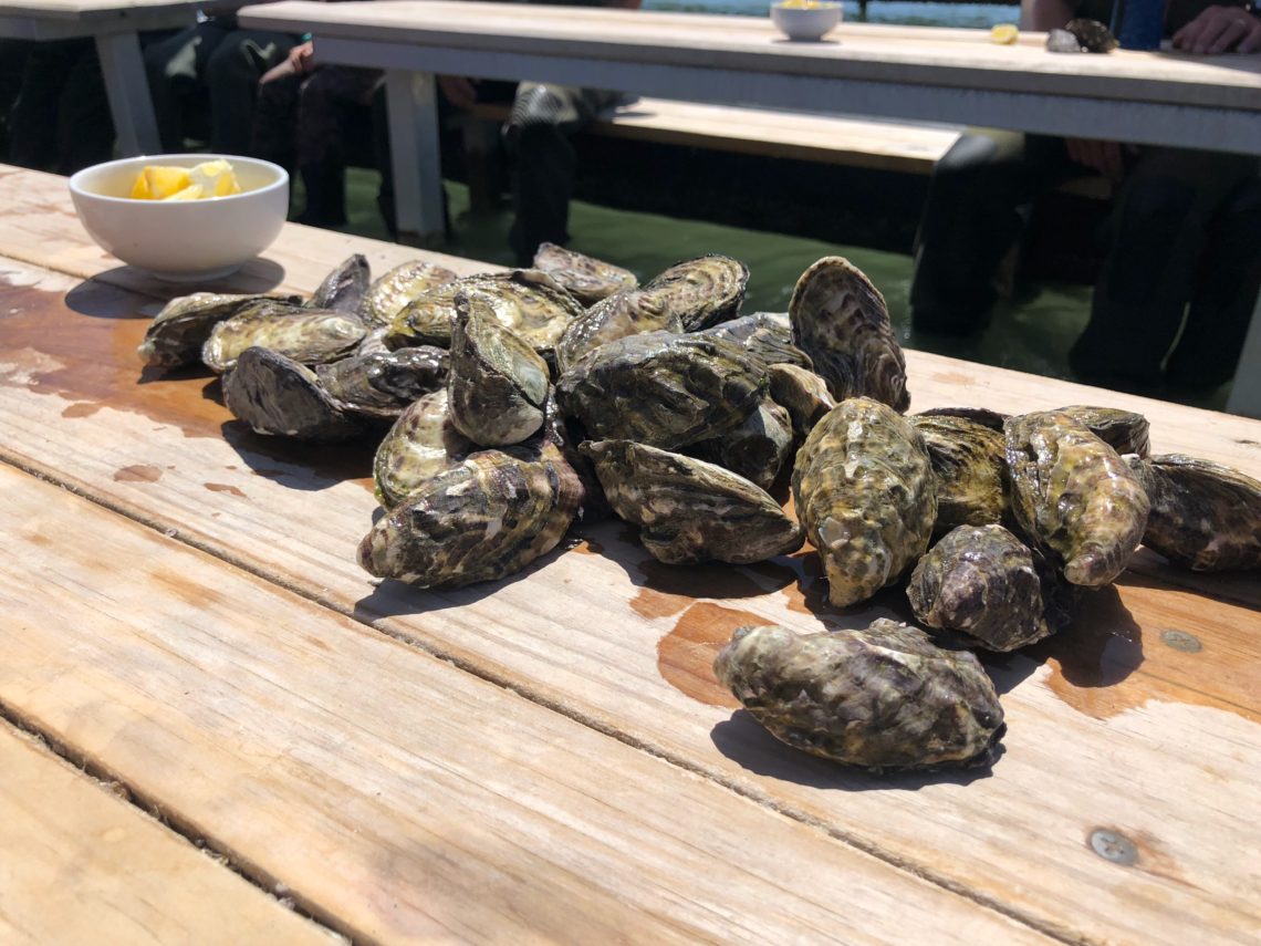
The Eyre Peninsula (and Coffin Bay Oysters!)
South Australia is a state that we’ve spent a bit of time in previously – on our 2017 trip, we visited the south coast, Adelaide, Clare Valley, and the Flinders Ranges and Oodnadatta Track in the middle of the state. At the beginning of this trip, we visited the Flinders Ranges again, the Birdsville Track, and the southern part of the Simpson Desert. However, we’d never had the chance to explore the western part of the state, specifically the Eyre and Yorke Peninsulas that we’d heard so much about. We were very much looking forward to spending some time in these areas! Here’s a map of our entire trip so…
-
Crossing the Nullarbor
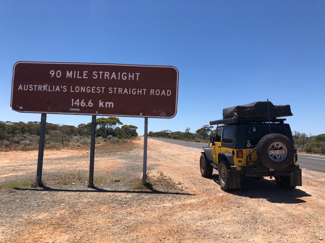
I’ll just preface this post with a disclaimer that there are a TON of blog posts out there about the Nullarbor. I’ve read a dozen or more of them myself. There is a lot to do on the Nullarbor (Tourism Australia recommends SIX DAYS in their official itinerary!), and we barely touched on a small portion of it. If you’re planning your own trip, make sure to do lots of research, and maybe allow more time than we did (two nights and three days), to be sure to explore all the side trips and beaches, and play the world’s longest golf course, which we weren’t able to do. Yes,…
-
Back to the Coast at Cape Le Grand National Park
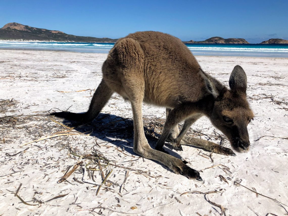
It was starting to heat up again after a few cooler days in the goldfields of WA, and we thought Christmas & New Year holidaymakers may have started to clear out, so it was back to the coast for us via Esperance to Cape Le Grand National Park. We’d been looking forward to Cape Le Grand after hearing about the gorgeous white-sand beaches and crystal clear blue water (can something really be crystal clear if it’s blue?). The most popular campground is at Lucky Bay, which until November was first come, first serve (or first in, best dressed as the Aussies say). In November it shifted to an online booking…
-
Goldfields Pub Crawl for New Years Eve
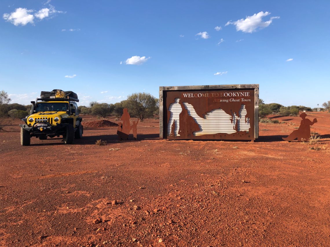
Here’s how far we’ve travelled so far, and a larger version of the ground covered in this post. If only Wikicamps included more detail in their maps… The ground we’ve covered so far. Routes in red were covered in previous posts, the green is highlighted in this one To add context to the above map, the red line meets the green at Kalgoorlie, northbound the green line forks at Kambalda, Coolgardie is where the left green line meets the yellow highway, continuing north the route hits bumps at Ora Banda and Broad Arrow. The northernmost point of the route is Kookynie, and Kalgoorlie is nearly directly west of Coolgardie. With…
-
An Attempt at the Holland Track
We packed up our Christmas camp after a very relaxing three night stay – unheard of for us – and decided to head inland to Kalgoorlie-Boulder via the Holland Track. We figured the coast would be extremely busy at peak school holidays and over the Christmas-New Year break, and we don’t make bookings anymore unless forced to (cough, Spirit of Tasmania), so in popular areas we knew we’d get the last pick of sites squashed between backpackers and a caravan or something… no thank you. The Holland Track starts at Hyden WA and ends at Coolgardie WA, and was forged by the explorer John Holland as a faster way to…
-
The Southwest Corner – Part Four (Augusta to Albany)
This is part four (the final part) of our Southwest Corner posts! Make sure to check out parts one, two, and three for our previous adventures in this area, along with maps of the region. All four parts of the Southwest Corner series are represented in the green line on the map below: You last left us, dear reader, on a balcony overlooking the ocean in Augusta, with a couple of our Canadian friends. We barbecued an awesome dinner of kangaroo (yes really) and fresh corn, and a spicy broccoli dish + curry that Emma concocted, and then the next day our friends needed to go back to work, and…
-
The Southwest Corner – Part Three (Margaret River to Augusta)
Hey! This is Part Three of our travels around the Southwest Corner of Australia. Make sure you check out Part One and Part Two, otherwise you’ll be missing out on some of our adventures, as well as maps of the region. OK, so coincidentally, the NY Times Australia food critic has just written an article about Margaret River! Her maps are way better than mine (I mean, mine are photos of paper maps and hers were intelligently crafted by the NY Times very good graphic designers, so…). Click on over to the article if you want to read a different take on Margaret River, and here’s a low-res screen grab…
-
The Southwest Corner – Part Two (Cape Naturaliste)
This is Part Two of our Southwest Corner adventures! For the beginning of our travels around this region, including a couple maps of the region, check out Part One. We woke up the morning after hanging out with our Canadian friends with a biiiit of a headache. It was a pretty slow morning that day. After dragging ourselves to an excellent breakfast, and delivering a couple of bacon egg rolls to our still-sleeping drinking companions, we managed to rustle up the energy and enough Panadol to get us to the Cape Naturaliste Lighthouse for a quick look around. We’ve seen a fair few lighthouses on all our travels around Australia,…
