Uncategorized
-
The Southwest Corner – Part One (Bunbury to Dunsborough)
We knew this leg of the trip was going to be absolutely full of amazing places to eat and drink, especially around Margaret River. We didn’t know that Margaret River is just one foodie/wine-lovers destination in what’s known as the Southwest Corner of Western Australia (W.A.), and that there was an absolute over-abundance of drinking and eating ahead of us, with wineries, breweries, dairies and chocolateries just a stone’s throw from each other. Instead of our usual map of what’s covered in this blog post, here are a couple of maps of the Margaret River region and Southwest Corner, that we used heavily on our travels! I don’t think it’s…
-
Capital P
Pam and I experienced some culture shock from our hotel room in Perth. On the afternoon of December third, we rolled into town amongst more traffic than we’d seen since leaving Sydney. That evening we checked into our hotel in North Bridge, which was directly across the street from the RAC Arena where Kevin Hart was performing a stand-up act, and there were thousands of people coming and going from the show. But before we got there, we paid Vic and Sue at SBR Off Road a visit to introduce ourselves, and give them a rundown of our Bumblebeast. SBR would be reviewing the axle installation that was done back…
-
Steep Point (Edel Land) to Perth via Nature’s Window, a pink lake, lobster rolls, and some weird rocks
I’ve been mentioning Steep Point for a while now – it’s the westernmost point of mainland Australia and was the final compass point that Nick and I needed to hit in order to cover off all four – south, east, north, and west. And from Steep Point, it was pretty much a beeline down the coast to our hotel reservation (on points – yay free hotels!) in Perth. Here’s a map of what this post will cover in the paragraphs ahead: Steep Point was definitely the most remote of the compass points we’ve visited. Getting there requires first getting to the westernmost part of WA, known as Edel Land, and…
-
Spaceships, stromatolites, dugongs, red dunes, and dolphins – oh my!
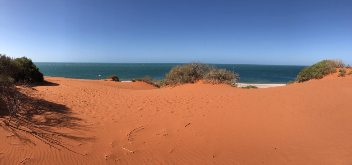
After nearly two weeks checking out Ningaloo Reef, it was on to the next part of the west coast: Carnarvon, Shark Bay, and the Edel Peninsula. One of the most mind-blowing things about this trip, that strikes us again and again, is how we’ve already seen so much – including some truly “bucket list” places – but there’s still more ahead to see, and get really excited about. This truly is the experience of a lifetime and we’re counting our lucky stars every day that we get to be here! On this leg, from Carnarvon to Perth, it’s hard to choose what we were looking forward to the most: hitting…
-
West Coast Best Coast: The Incredible Ningaloo Reef
So we’ve seen this hashtag around on Instagram, #westcoastbestcoast, and yep, we’re definitely on board. It’s hard to believe that we spent about 2 weeks on and around Ningaloo Reef – definitely more than we’d planned, especially since we’ll be back this way in May-ish to swim with the whale sharks (none around at the moment – they’ve all migrated away for the season). Ah well, we keep being reminded that plans don’t count for much on a trip like this. Plans are made for breaking!! Here’s two maps to orient you to the rest of this post. First, our entire trip so far, with the area covered in this…
-
Broome to Exmouth via The Claw, Australia’s Hottest Town, and Two Very Long Beaches
We loved Broome, but as usual, there’s so much more to see and do and experience, so back to the road it was for your friendly yellow Jeepers! We’re super excited for our next major destination – Exmouth & Cape Range National Park, home of Ningaloo Reef, which is home to heaps of sea life in the form of fish, sharks, turtles, whales, and dolphins. The best part? Whereas you need to book a tour or hire a boat to see the Great Barrier Reef, Ningaloo Reef is swimmable from shore – sometimes less than 50 metres out from the beach. But first, we need to get there. If this…
-
Kununurra to Broome
We departed Kununurra just in time – at our goodbye happy hour the night before we left, a huge thunderstorm rolled in. This was the official start of the wet season, when the northern part of Australia get a massive amount of rain over the next few months until the autumn (April-ish). Kununurra as an example of a town impact by “the wet” receives about 844mm of rain per year, nearly all of which falls from December to March: usual rainfall in January is 210mm, in July it’s 0mm. The annual rains roll in to much celebration and joy among the locals, as it signifies the end of the “build…
-
Our favourite camping meals
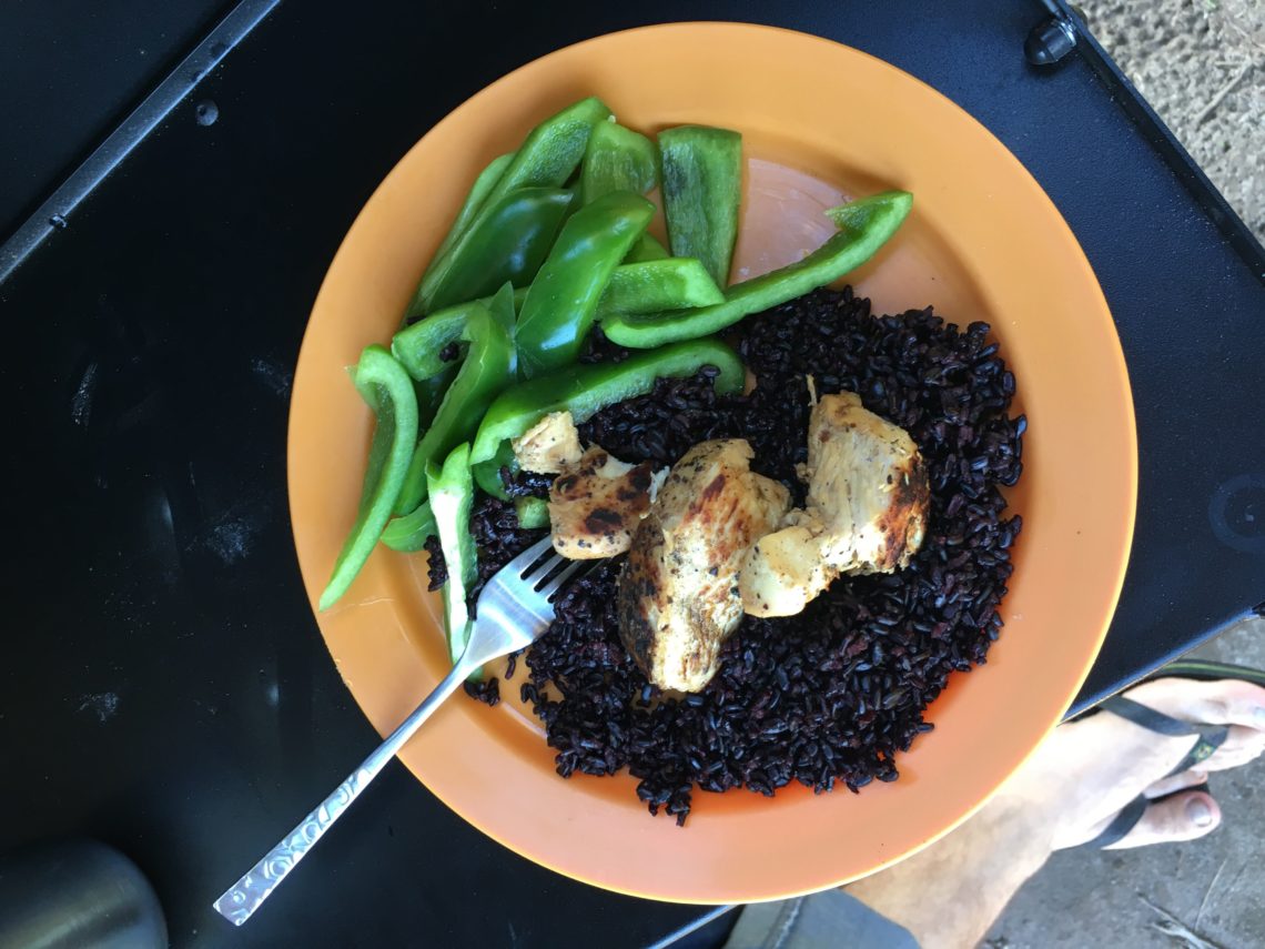
It’s not all waterfalls, deserts, and bush camps around here – a girl’s gotta eat! (And feed her husband, who would otherwise subsist on bread and peanut butter) I’m trying to stay in the habit of writing a blog post every few days and so I thought it would be fun to share with you guys a few of our favourite camping meals, complete with some pictures of dubious quality. Obviously, the #1 camp meal of all time in Australia is sausages wrapped in cheap white bread, it doesn’t even merit mentioning in our list because obviously we eat that at least a couple of times a month. Not Australian?…
-
We Break The Jeep & Enjoy An Extended Layover in Friendly Kununurra
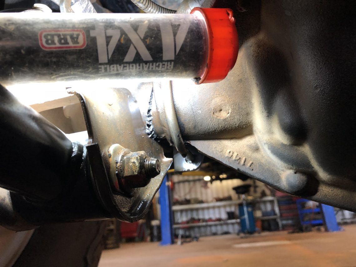
In my last post I mentioned that the roads out to Purnululu (the Bungles) and to Wolfe Creek were pretty rough. I think whoever left this graffiti on the Purnululu informational map probably had a similar experience to us… There were a few bull dust holes and not-flush cattle grids that rattled the Jeep, one in particular pretty hard, causing us to look at each other with that apprehensive “uh oh” look right after we hit it. I know what you’re thinking – were we going too fast? – and it’s a fair question, as most tourers know, driving corrugated roads is a fine balance between “too fast” and “not…
-
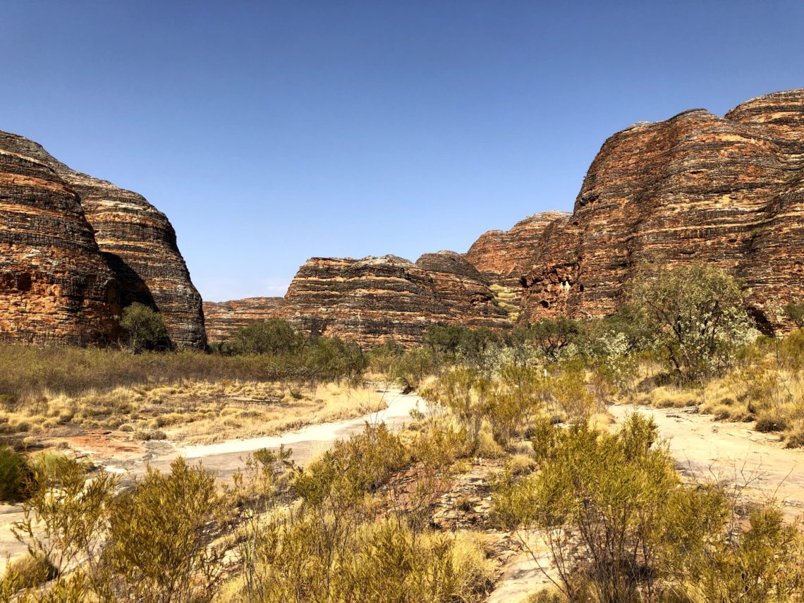
Kimberley Adventures at the Bungle Bungles, Echidna Chasm, and Wolfe Creek Crater
In the last post covering Judbarra and Lake Argyle, I have to confess, I cheated a bit: the last two photos were taken in Purnululu National Park, home of the Bungle Bungles. But, I really think the Bungles deserve to be at the top of a post, so here we are again! Here’s a map of what we cover in this post in green. Previous areas we’ve covered are in red. You can also always follow us live on our mapshare map, which is pinged frequently by our InReach satellite device! The Bungle Bungles are a unique rock formation located in Purnululu National Park. They have a distinctive zebra-striping pattern…
