Karumba to the Northern Territory via Camp 119, Leichhardt Falls, and Boodjamulla National Park
After gorging ourselves on the local prawns at Karumba and stocking up on some local barramundi, we were off. We had to make it to Darwin, some 2200km away, in ten days so that we could celebrate my birthday in style (more on that in a later post). Luckily, we were back in an area of the country where the attractions and sights are pretty far apart, so it was no dramas to be able to achieve the ~220km required in driving per day.
Our first stop out of Karumba was to check out a bit of Aussie history, by way of Burke & Wills Camp 119.
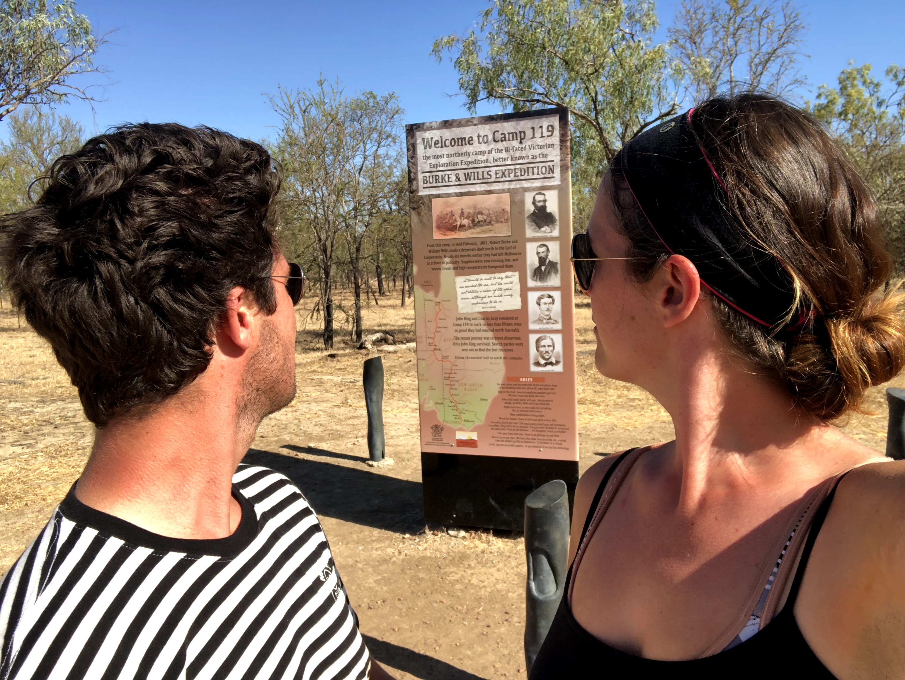
Burke and Wills were two Australian explorers who lead an expedition in 1860 from Melbourne (at the southernmost part of the country) to try to find a route to reach the Gulf of Carpentaria (near the northernmost part of the country). The expedition was a comedy of errors and tragedy from the start, and camp 119 was the closest campsite to the Gulf. Burke and Wills did continue on foot 24km farther north, but couldn’t actually reach the sea due to mangrove forests and swampland. Small consolation that they were able to see the tide rising and falling in the mangroves, but not actually see the ocean. That isn’t even the worst of it as nearly everyone in the expedition ended up dying. If you’re interested in the story, I highly recommend listening to a comedic retelling via podcast over at The Dollop. Settle in, it’s a 2 hour story but you will be amazed at how ill-fated these guys were from the get-go and the hilariously tragic choices they made along the way.
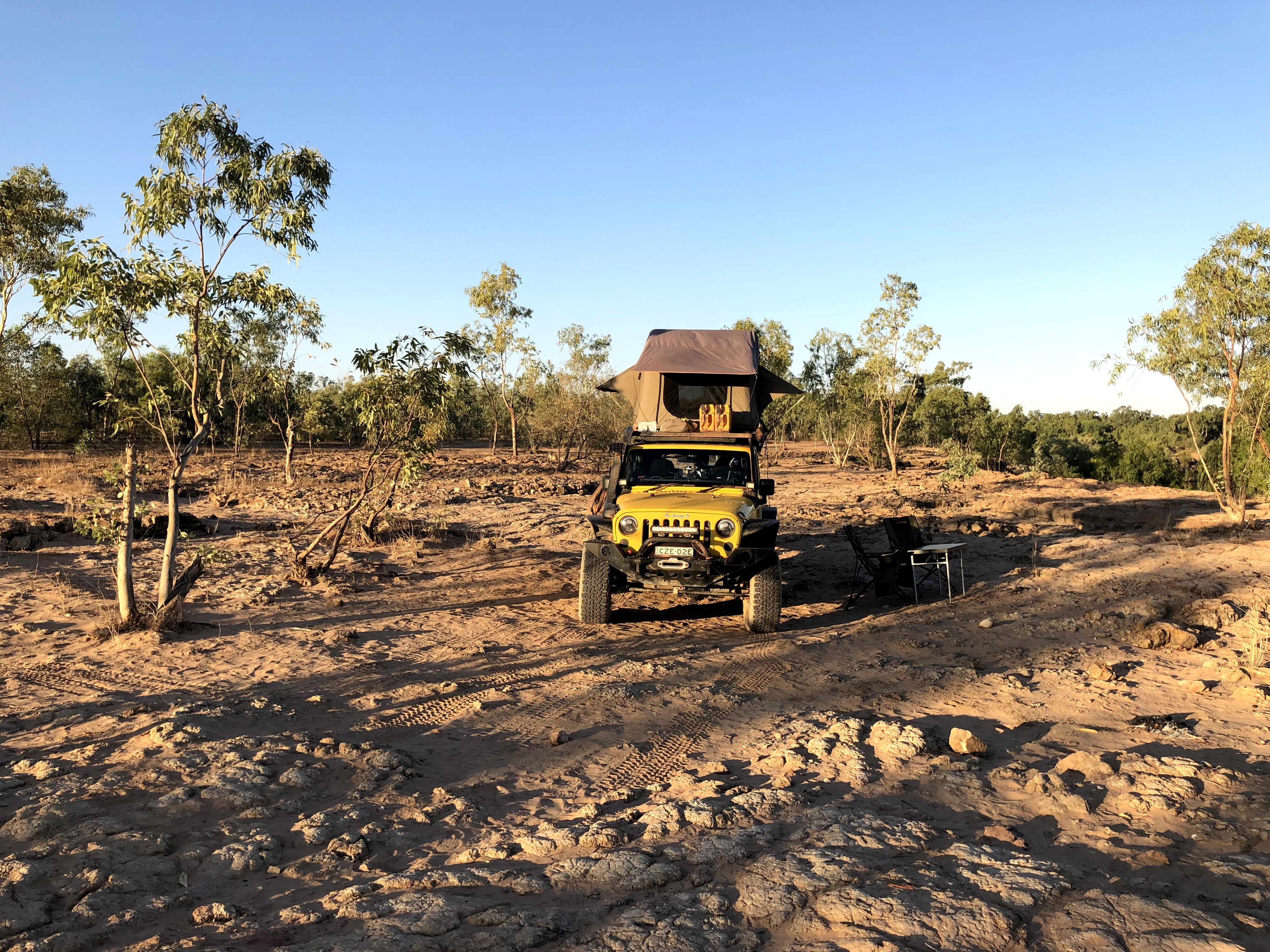
After checking out Camp 119 it was on to our bush camp for the night at Leichhardt Falls, a rocky, sometimes-waterfall (but not when we were there – too dry), beautiful free camp somewhere in the back end of outback Queensland.
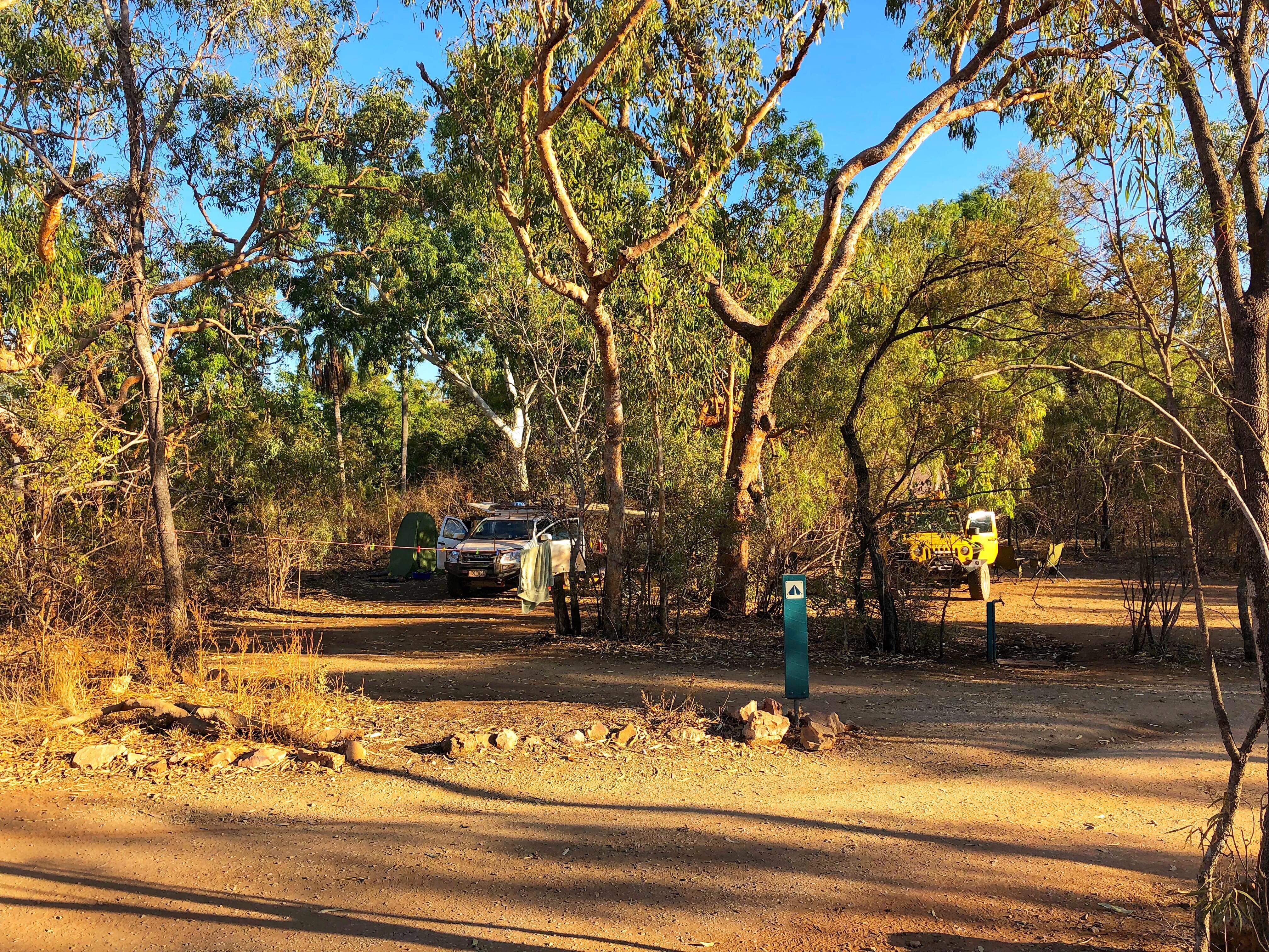
The next morning it was off to Boodjamulla National Park (aka Lawn Hill National Park), somewhere that had been very very strongly recommended to us by a number of other travellers, specifically “you must kayak up the gorge”, but we didn’t really know what to expect. We arrived and set up camp, in a nice National Park campground where the sites were close together but large, so you could still feel like you had some space to yourself. Still, it wasn’t really anything that special.
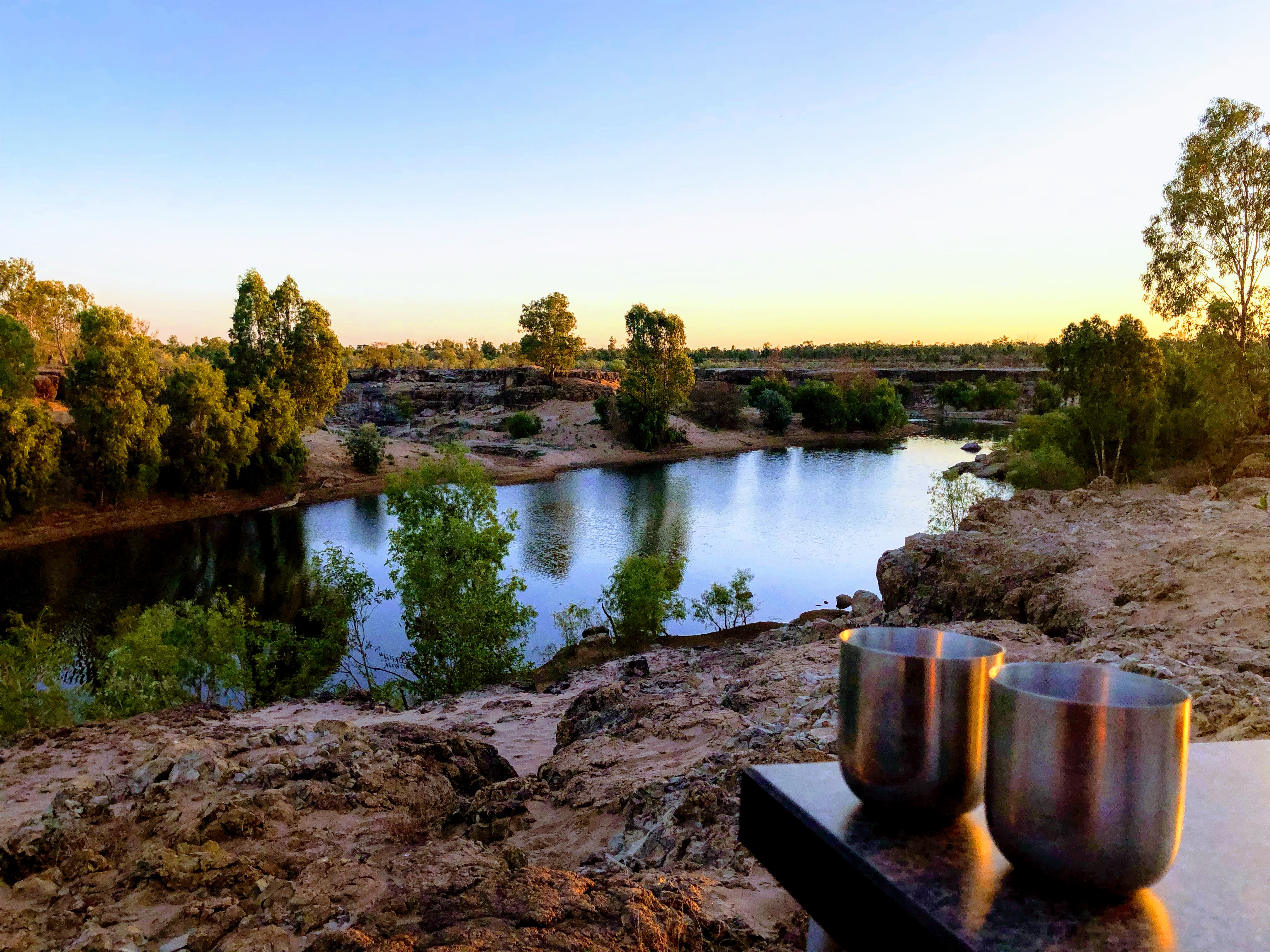
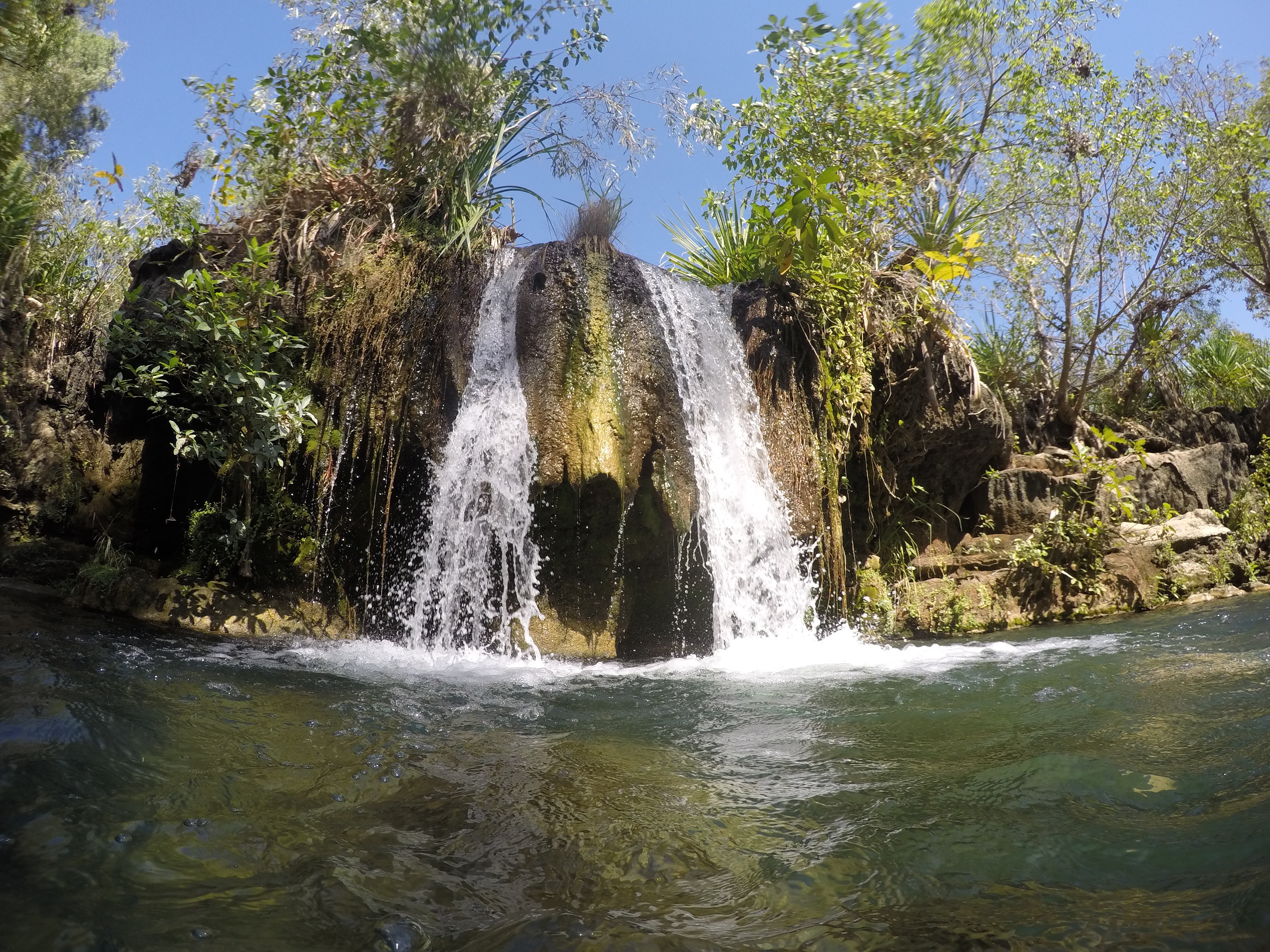
Until…we walked a short pathway and down a set of stairs perhaps 20 metres from our campsite:
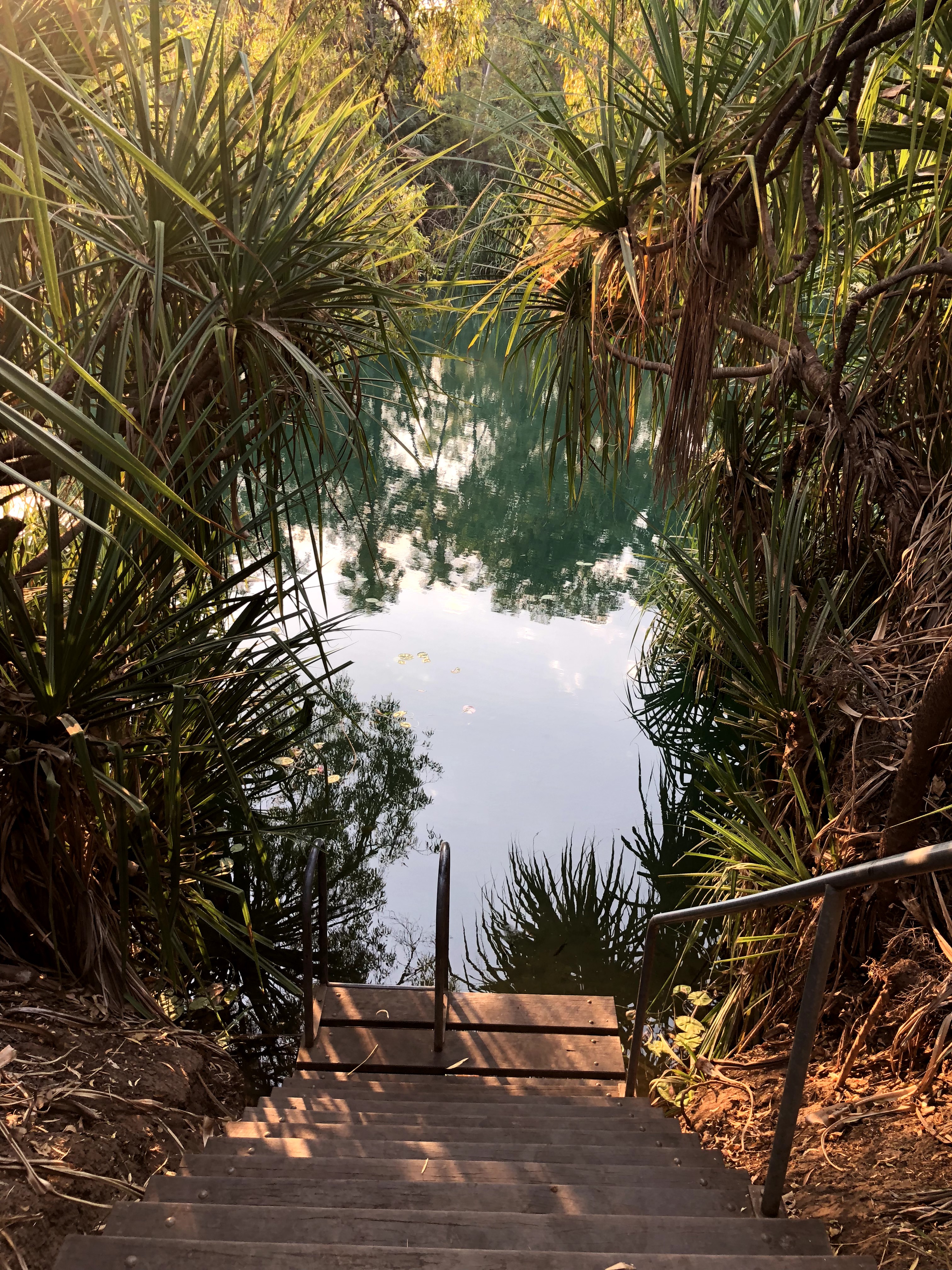
Lawn Hill Creek is a beautiful freshwater, bright turquoise creek that flows through the park (and other nearby areas of course). The park itself covers 28,000 hectares and includes the Lawn Hill gorge system, several hiking trails, and even a fossil site where some of the best and craziest Australian mammal fossils have been found including carnivorous kangaroos and marsupial lions.
The most popular thing to do though, is to hire a canoe for a few hours and paddle your way up two gorges to find secluded little lagoons, waterfalls, and swimming holes along the way.
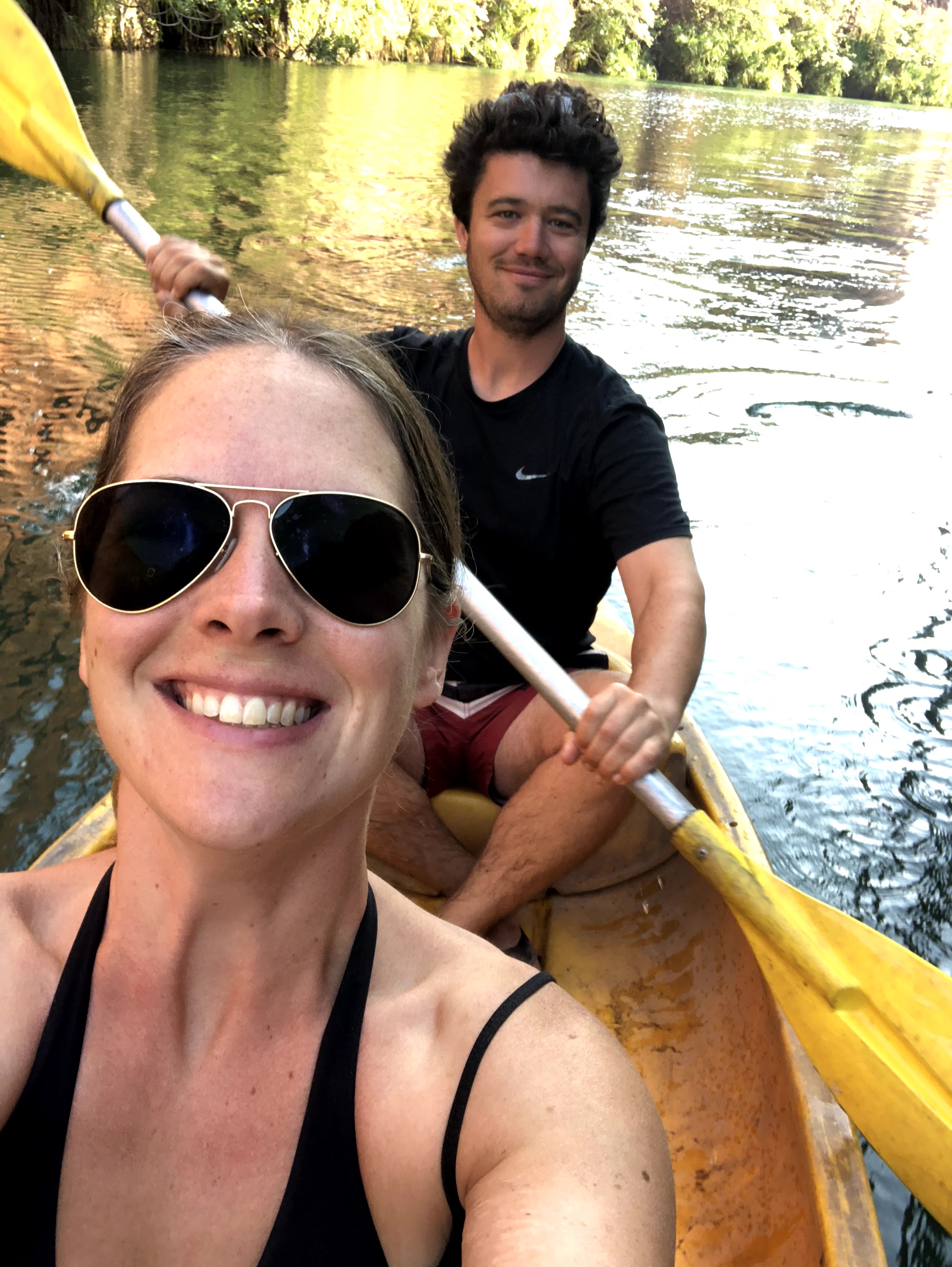
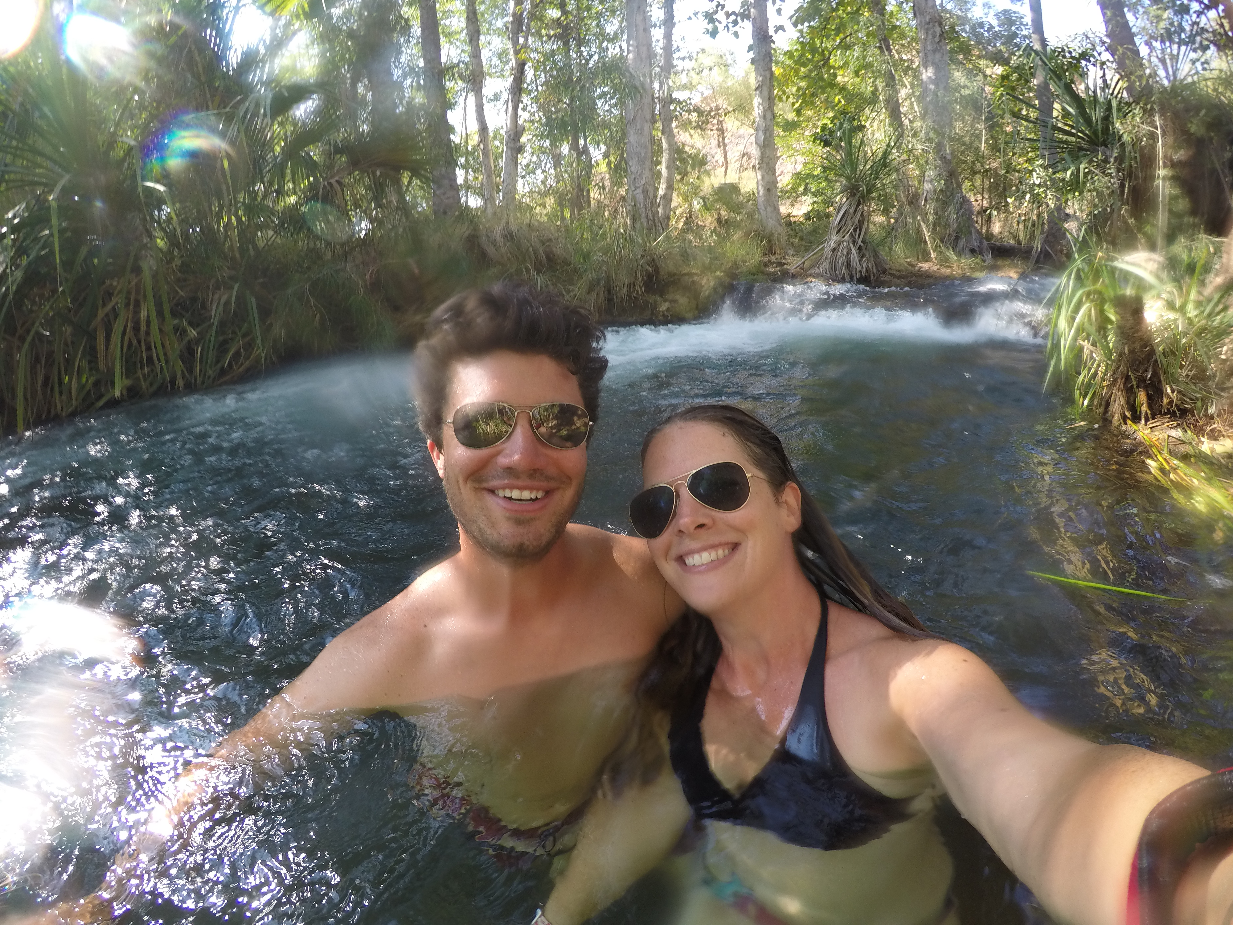
We absolutely loved Lawn Hill and could have stayed longer than the 2 nights we did, but as usual, we needed to move on, there was still so much more to see and so many more kilometres to cover!
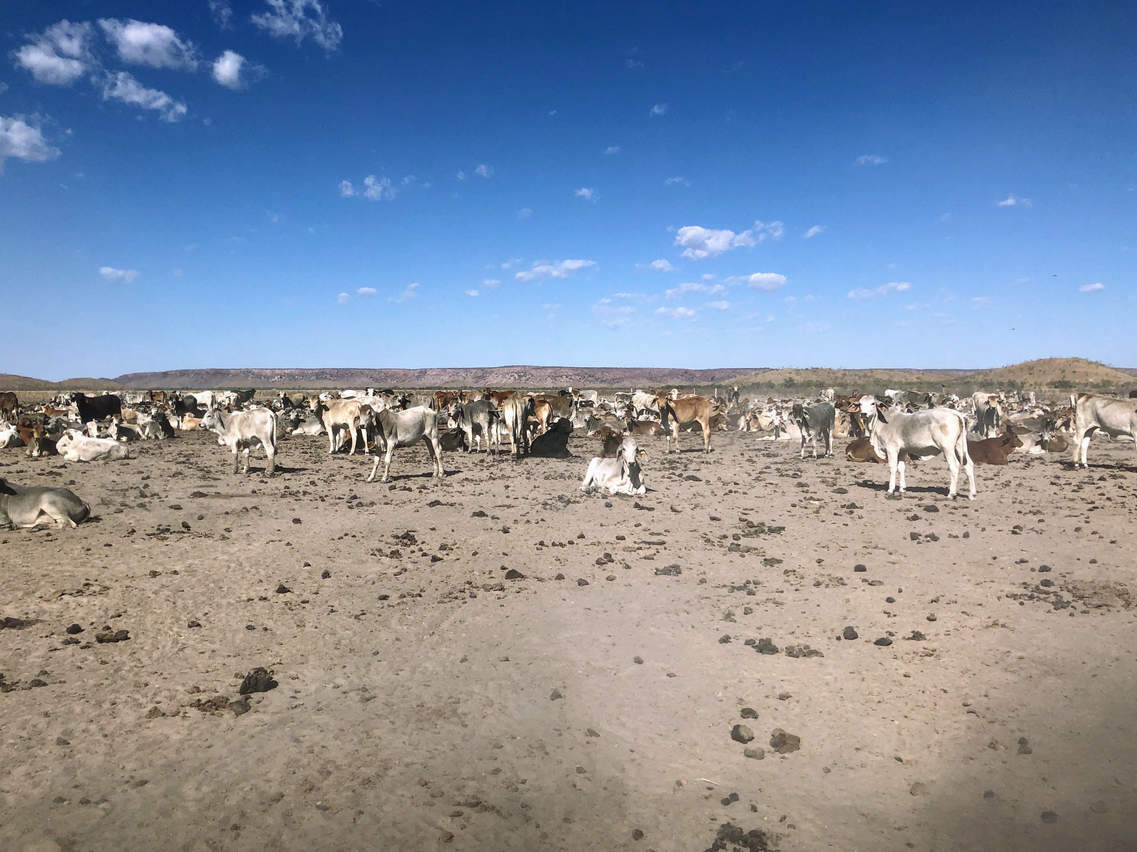
Our route continuing north and west was along the Savannah Way in Queensland, which is part of the major highway that circumnavigates Australia (Highway 1). This road is a lesson in what qualifies as an outback highway though as the dirt “highway” meandered through cattle stations (including through gates that needed to be opened/closed), creeks, and bushfires! Never a dull moment out back…
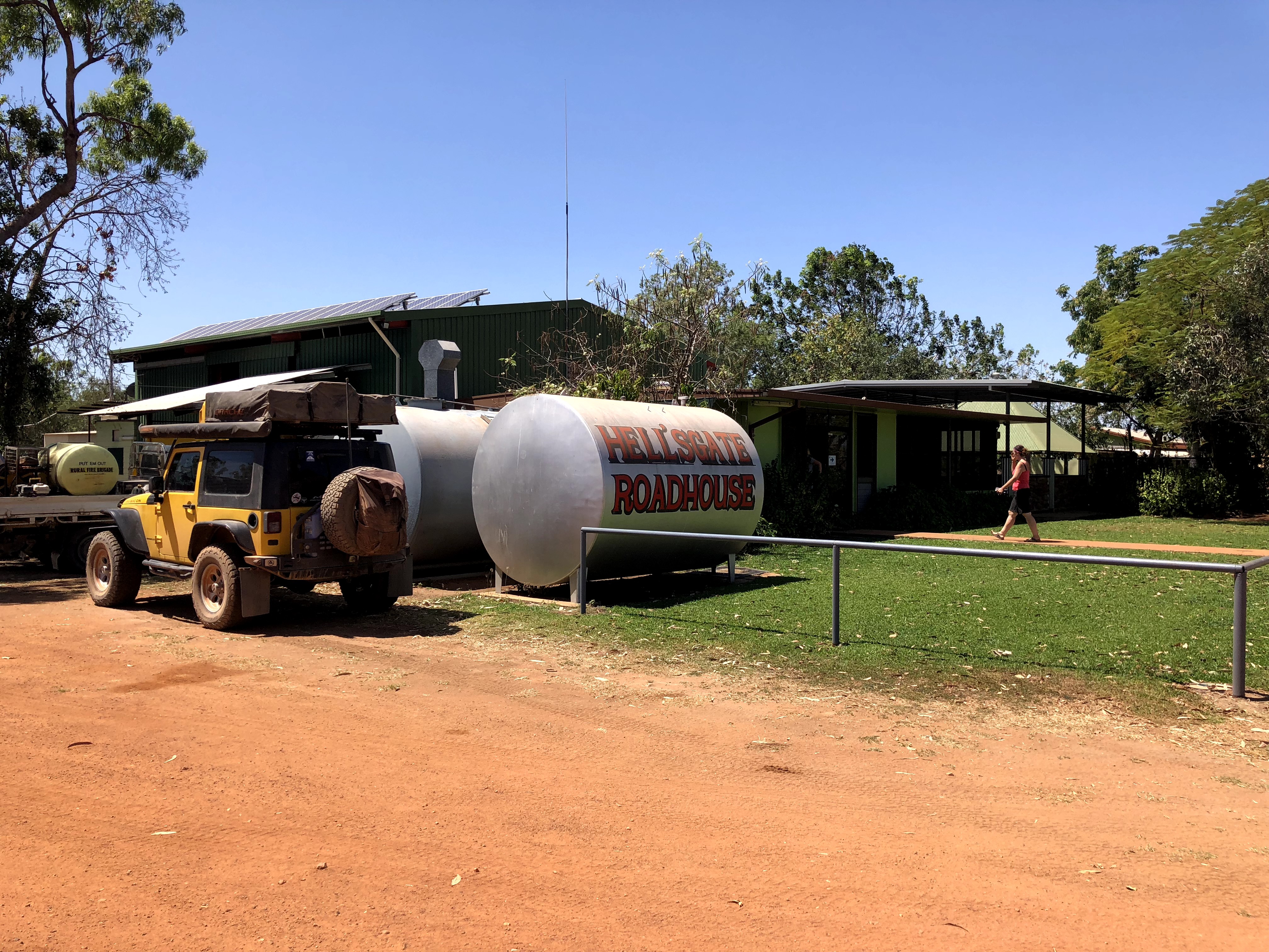
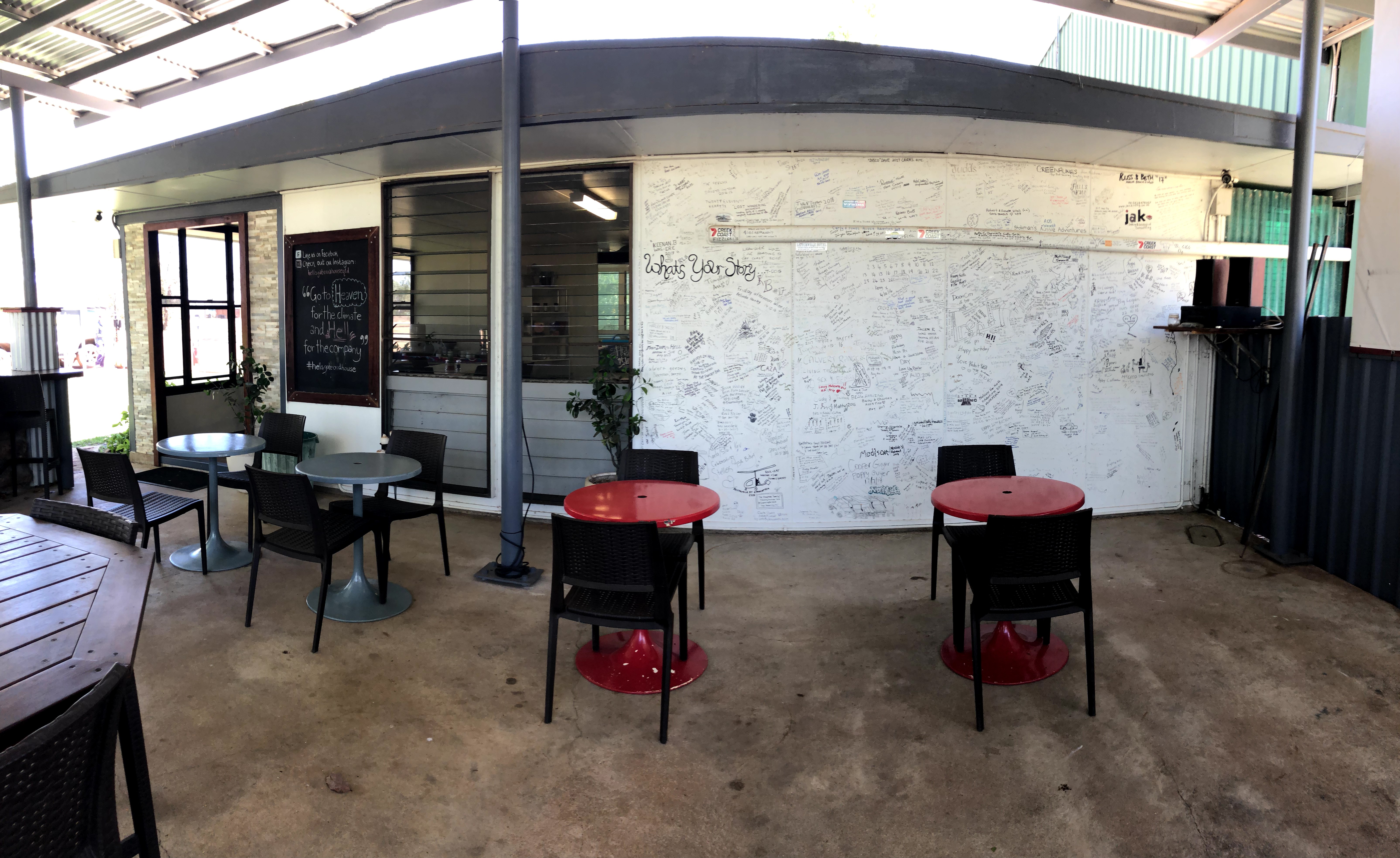
We stopped for fuel (both Jeep and human fuel) at the Hell’s Gate Roadhouse (much nicer than it sounds with green grass out front and a lovely little cafe area at the back), where some of the locals were cheerfully occupied with back burning nearby to create a barrier against that bush fire that we’d seen along the way.
Hell’s Gate was named because back in the day, it was the last station before travellers set out into the unregulated and mostly unexplored regions of the Northern Territory.
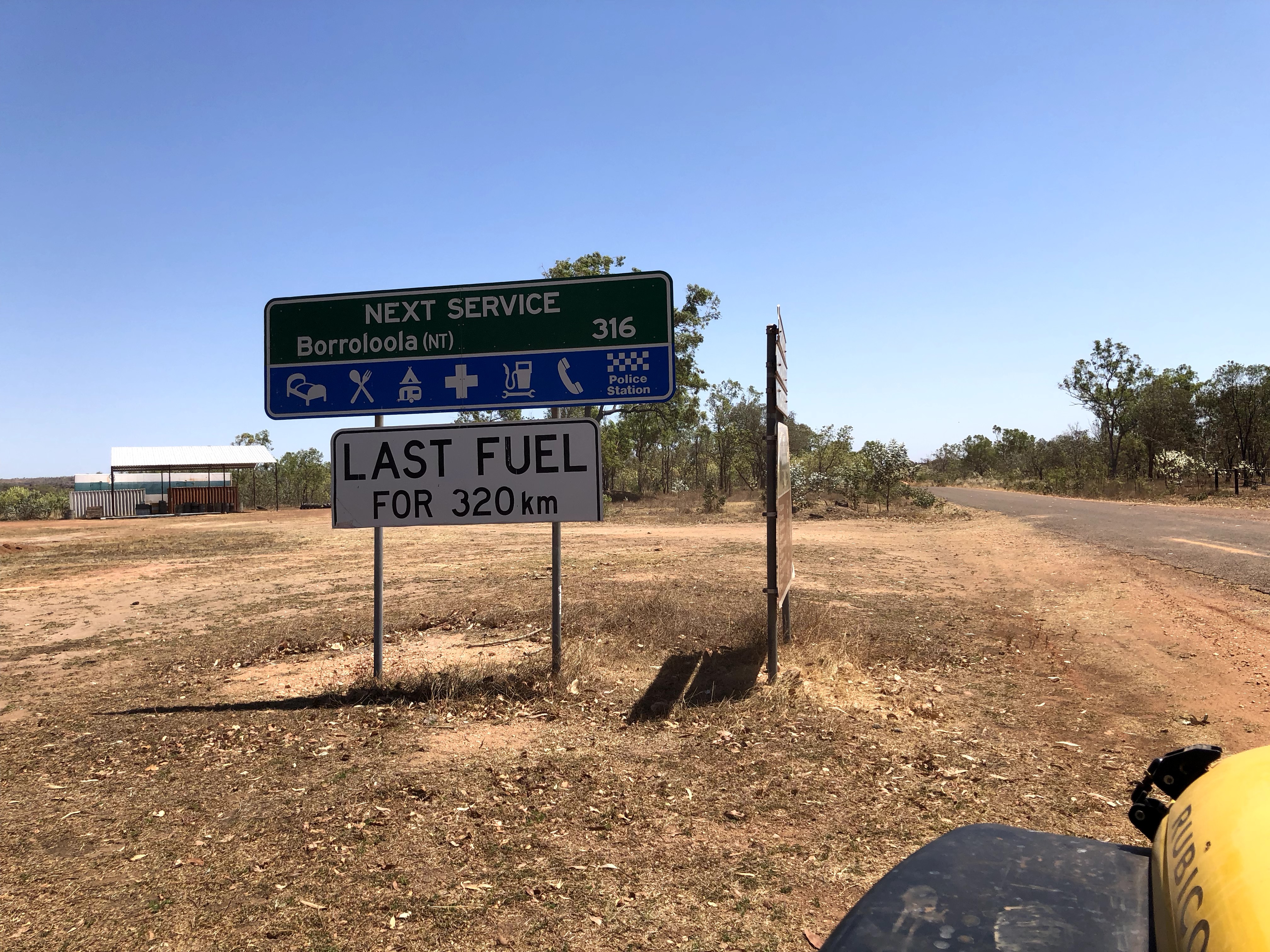
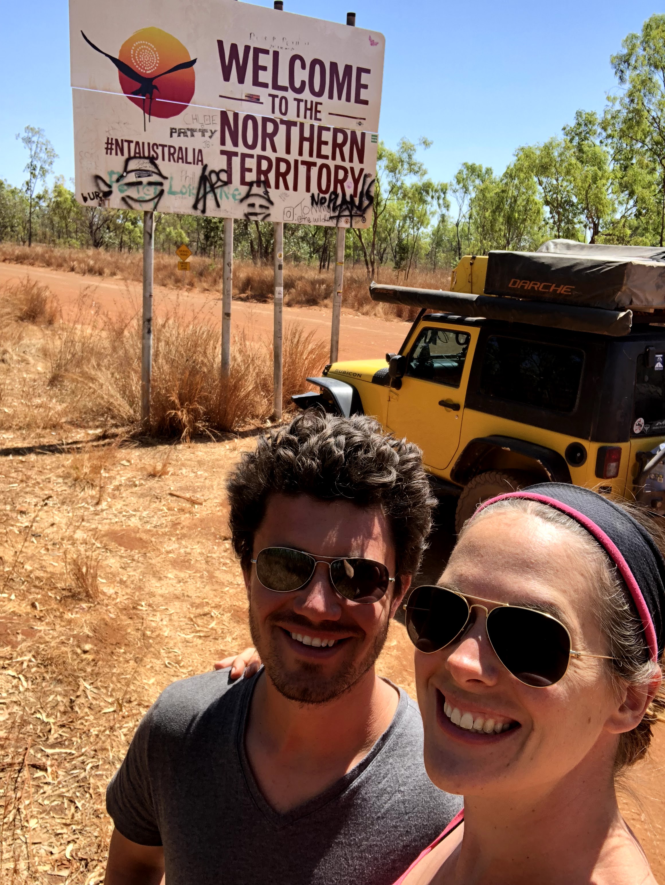
With about 250km covered from Boodjamulla to Hell’s Gate (and a rough 250km it was on that crazy Savannah Way!), we still had another 316km to go to Borroloola, a small community some distance west from the NT border.
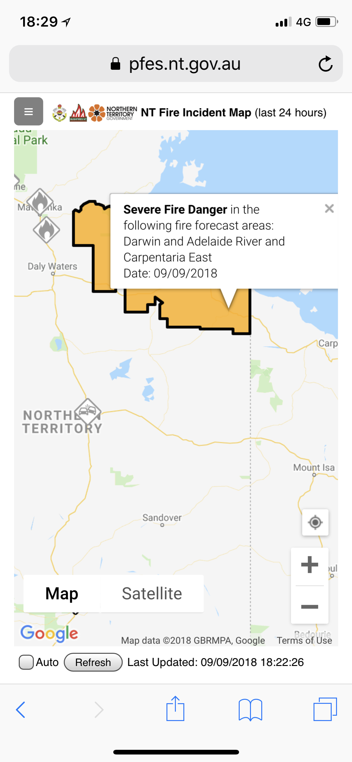
That bushfire, supposedly a controlled burn (meaning it was intentionally set for wildfire prevention and environmental purposes with the proper approvals and authority), was still smouldering and seemed to cover a huge area of both Queensland and the NT. We would frequently catch a whiff or a sight of smoke, blackened countryside, and even a few areas where there were still some open flames. In this case it’s safest to be on the road (which is a natural firebreak) and keep driving through it. Note though that we were nowhere near the firefront, and that we were carefully (and very anxiously) monitoring and keeping an eye out for signs that we should turn back.
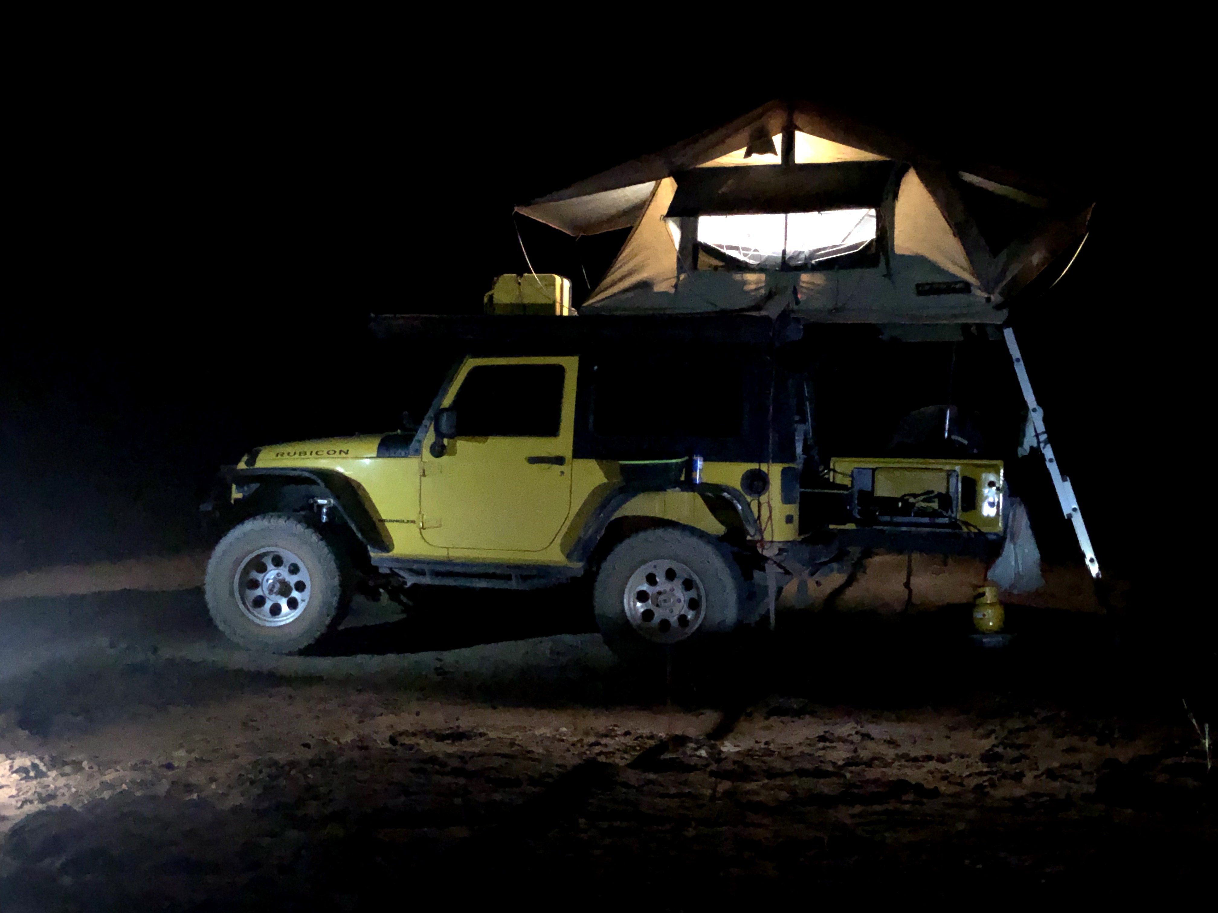
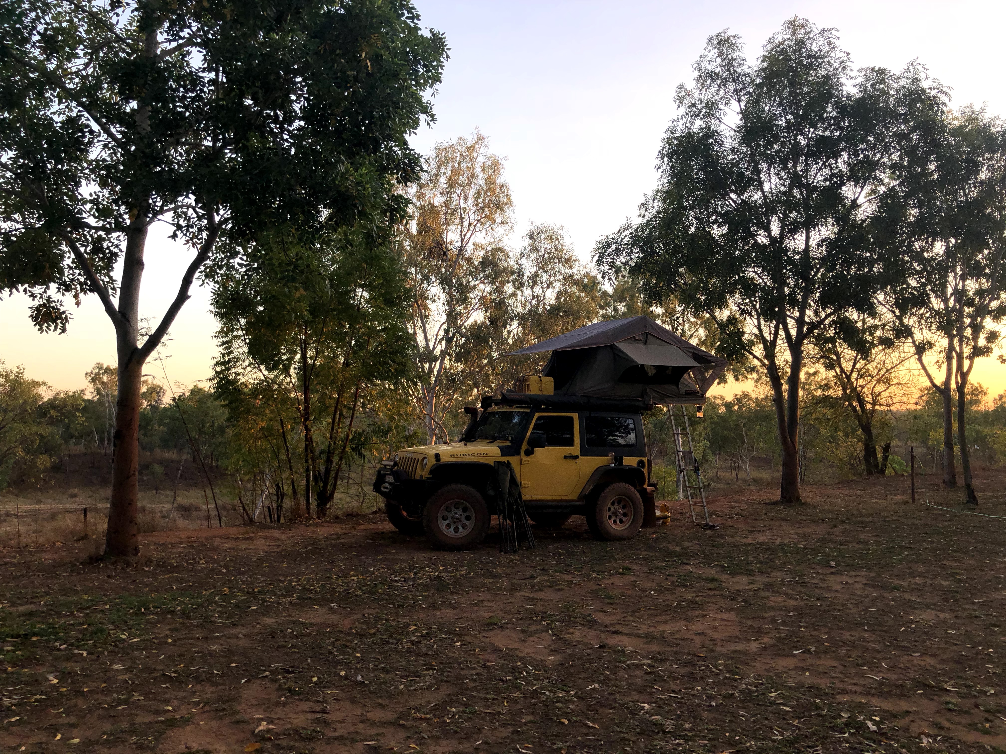
At any rate, through fire, smoke, water, dust, and cattle, we’d made it to our campsite at Borroloola safe and sound, set up the tent, had a quick bite and were pretty much asleep before our heads hit the pillow!
At this point we’d successfully made it to the Northern Territory, about 250km into it in fact, in four nights from Karumba (about 1200km away). We had six days left and 1,000km to go to Darwin, with planned stops at Daly Waters (a rather famous outback pub), Mataranka (natural hot springs), Nitmiluk (Katherine Gorge) National Park, and Litchfield National Park along the way. A pretty packed schedule considering we’re on a holiday, but who’s complaining (not us, that’s for sure)!
MVP: instead of an MVP this week we thought we would explain for our Canadian and American friends about fire management in Australia. Driving through smoke and flames isn’t exactly comfortable for us, but the reality of the environment in Australia is that it requires fire management to thrive. The Aboriginal people have been strategically burning areas of the countryside for literally millennia, and it’s only with European settlement that this practice stopped. It’s now common practice again (imagine us learning something from the people who have lived in this country for many tens of thousands of years longer than us!). The short of it is that it’s better to intentionally start small, controlled fires before the dry season gets on, as it’s when everything is completely dried out that wildfires rage out of control. We can also have resources and rangers in place anticipating where the fire will spread and monitoring for any potential impacts to nearby communities. Finally Australian endemic wildlife thrives when it has many different stages of plant development in which to find food and shelter. Fire helps to create this environment of varying life stages of an ecosystem in small areas. I believe they’re also starting to use these practices and learnings in California and BC, where wildfires are a danger as well.
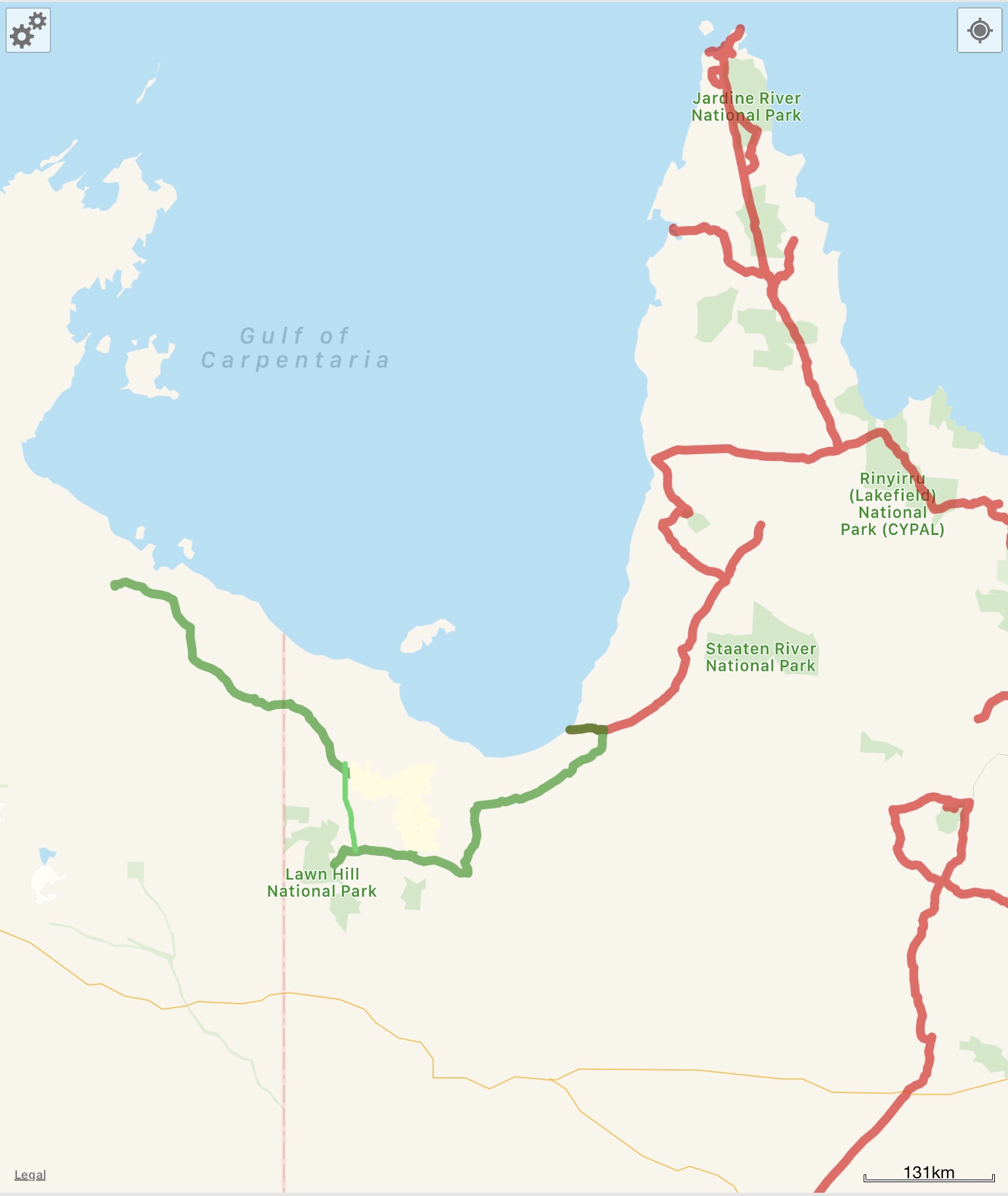
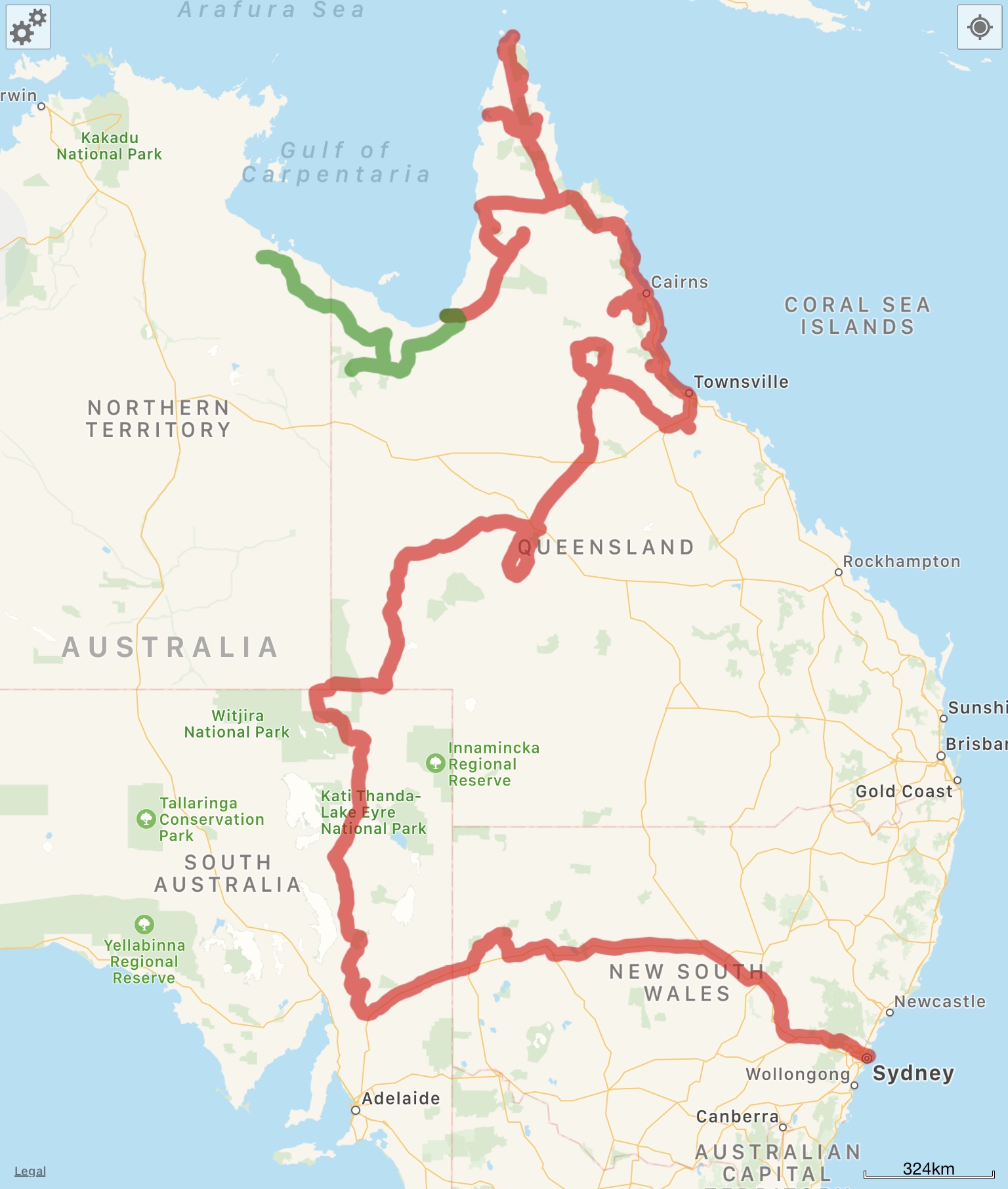
So, where exactly is this? Here’s a screenshot of this leg of the journey from WikiCamps! The red is what we’ve already covered, and the green is what was featured in the post you just read. You can also follow us live at this link – our satellite device pings our shared map frequently.