Cape York Part Five (Off the Cape via Weipa and Karumba)
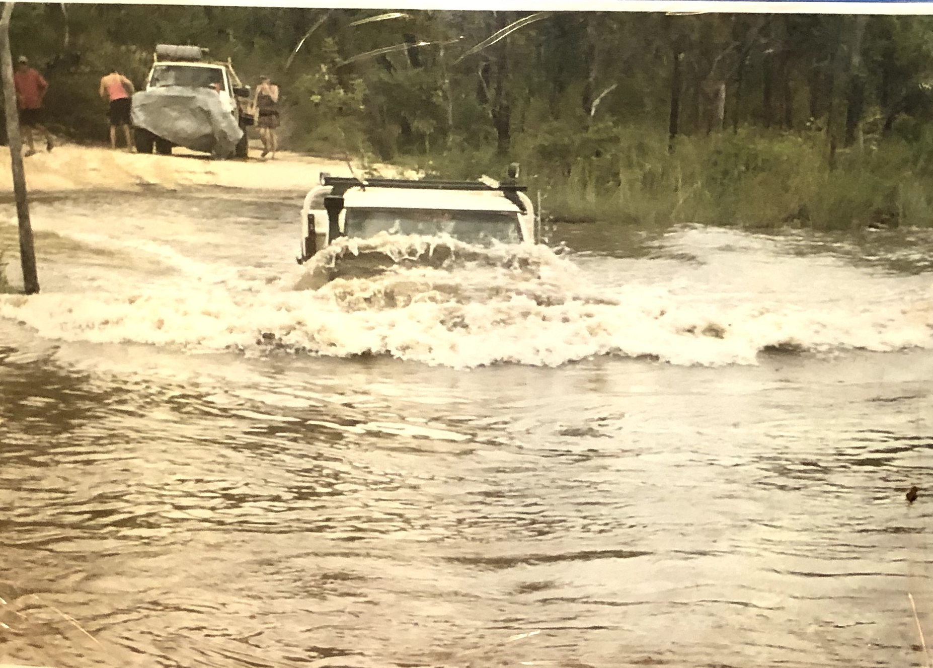
We loved our time up on the Cape York Peninsula and especially at the tip, and could have spent more time there. We missed out on a couple of our wish list items – Ussher Point and Chilli Beach (now on the Next Time List!) – but with the onset of the wet season looming, we needed to get our butts in gear and move on. The wet season was one of our few real “deadlines” for this trip, as when the rains start up north where most of the roads are fine red dirt and feature numerous creek crossings, attempting to travel in “the wet” is risking getting bogged in deep mud or getting stuck for a few days on the wrong side of a flooded creek, or both.
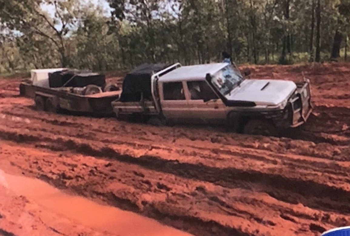
To give you a sense of the difference in roads up here, we had taken three nights to get north from Bramwell Station to the tip on the Old Telegraph Track (OTT), a legendary 4wd track, about 115km. Three nights is a relaxed pace for the OTT, but you certainly wouldn’t want to try to do it in a day. On the way back south we planned to take the Peninsula Development Road (PDR) the whole way, a distance of about 150km on broad, corrugated dirt roads, which could be done in a couple of uncomfortable bouncy hours. There are no sealed road options at the moment, although the PDR is set to be sealed within the next ten years. Many Aussies including ourselves have mixed feelings about the impending sealing of the PDR, it’s great as it will certainly improve life for the local population (see the supply run photo above), but also will have the mixed effect of unlocking the area for many more tourists, who bring with them their dollars but also pollution, crowds, and other issues for this beautifully remote and untouched part of Australia.
Our first stop after leaving the tip was to pop in at our favourite campsite from the trip up: Eliot Falls / Twin Falls. Even though this campground is technically on the Old Telegraph Track, the PDR runs close by, and it’s only a 7km detour to get to the gorgeous campground and swimming areas.
The Eliot Falls campground is in the Jardine River National Park, and in the state of Queensland they’ve switched all of their National Park bookings to an online system. We’ve found on our travels that many Aussies absolutely HATE this, I think because it’s an affront to the laid-back Aussie way of life. A common objection we’ve heard and sympathise with is that when overlanding, it’s pretty difficult to know exactly when you’ll arrive or depart a certain place. Anything could happen: bad weather, a mechanical breakdown, illness, or you might just decide you really like or really hate a certain spot, and move on later or earlier than planned. Pair all of that with the fact that in most of rural/outback Australia there isn’t any mobile phone reception and the online booking system does seem pretty daft. Still, we haven’t had an issue with pre-booking campsites ourselves and frequently book them the day of, or day before we think we’ll be there.
All of that to say, when we arrived at Eliot Falls campground, there was someone in our spot!! No people were there, but a vehicle was parked up, and someone had arranged their socks, boots, and shorts to dry over the fire pit.
God only knows what you’re supposed to do in this situation, because like everywhere, National Parks are underfunded and so there’s probably one ranger for every 1,000 square km, so we decided to leave a polite note (“Hello! We booked this campsite. Could you please find another spot?”) and went swimming. Luckily, when we returned, the infringing truck was gone (and friendly note crumpled up and thrown on the ground).
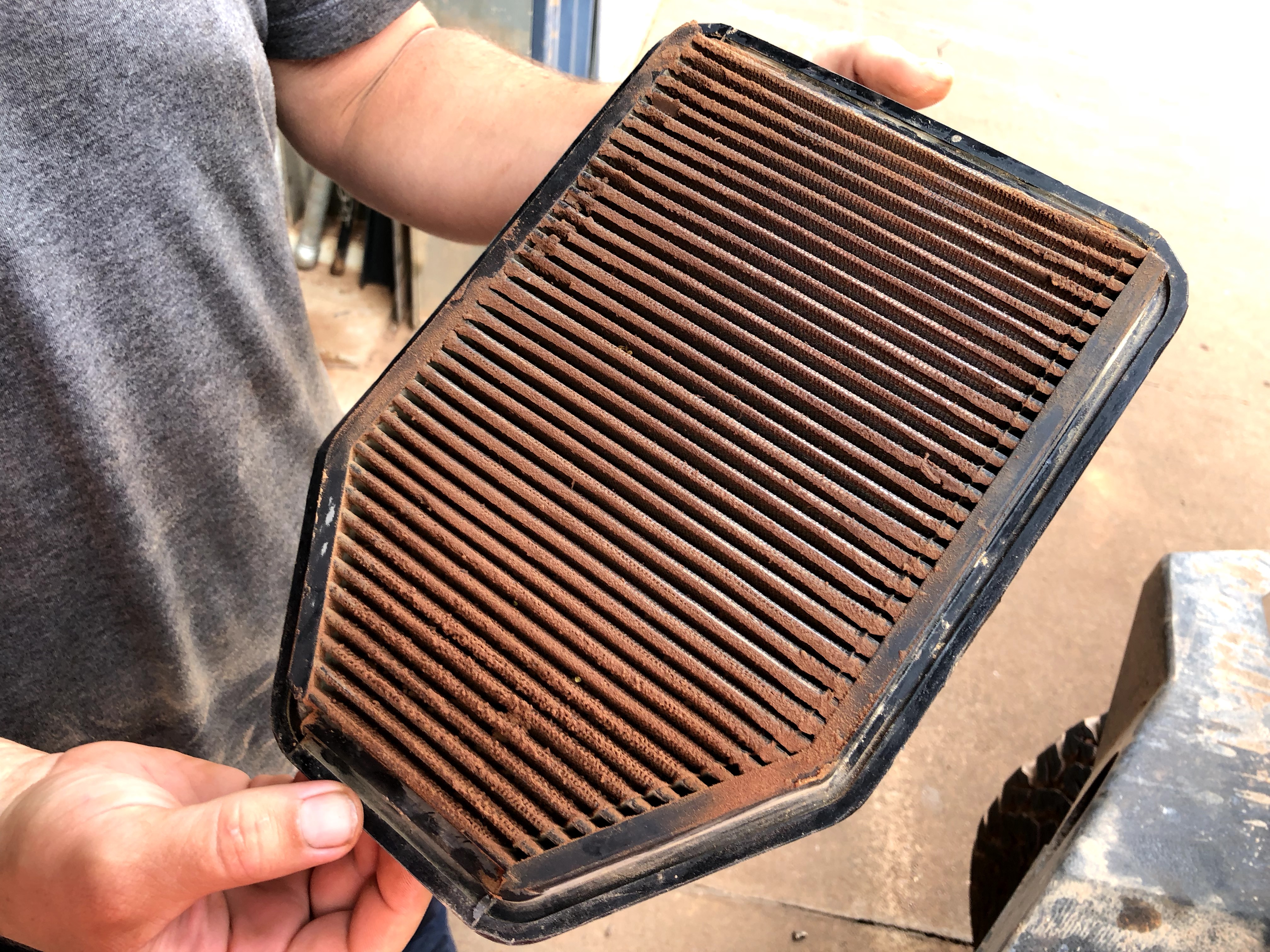
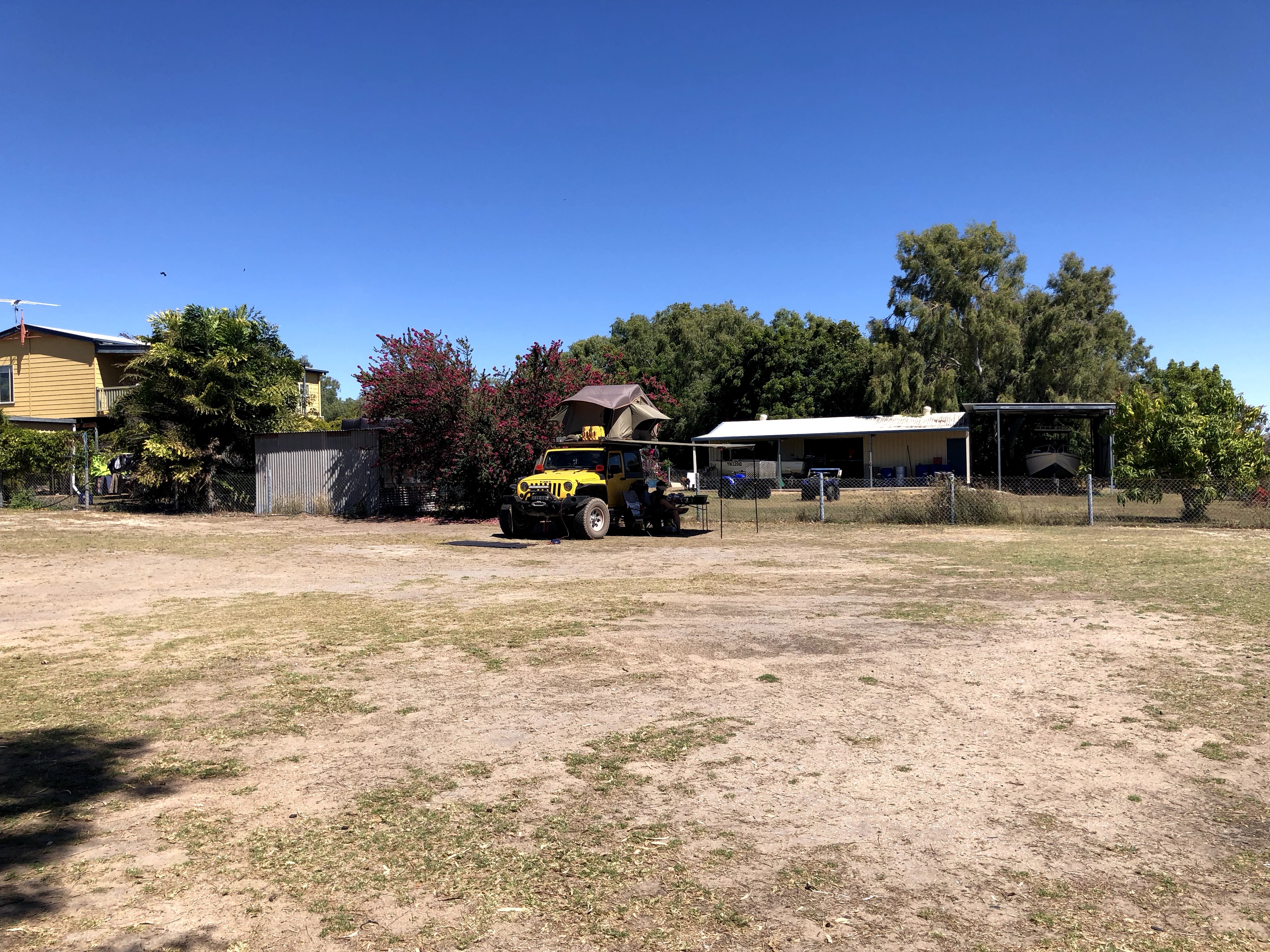
The next day it was back out to the PDR in the morning and a big day (325km) of driving over to Weipa, a large-ish (pop 2000-ish) town on the west coast of the Cape York Peninsula. We usually use our time in towns and cities on this trip for Jeep checkups and ‘home improvement’ projects, and Weipa was no exception. We did laundry, groceries, had a small part replaced on the Jeep (ABS sensor), and – drumroll please – revamped our water storage system from a 26L square plastic tank in the back of the Jeep, to a 22L jerry can with a hose & tap system stored beside the fridge, and another 22L jerry stored in the tailgate. This idea of Nick’s increased our water carrying capacity by 18 litres (enough for at least an extra two days out bush depending on how much we conserve) and opened up the area in the back of the Jeep so it’s much easier to access items like our tucker box (aka food bin for non-Aussies), pharmacy box, games, towels etc.
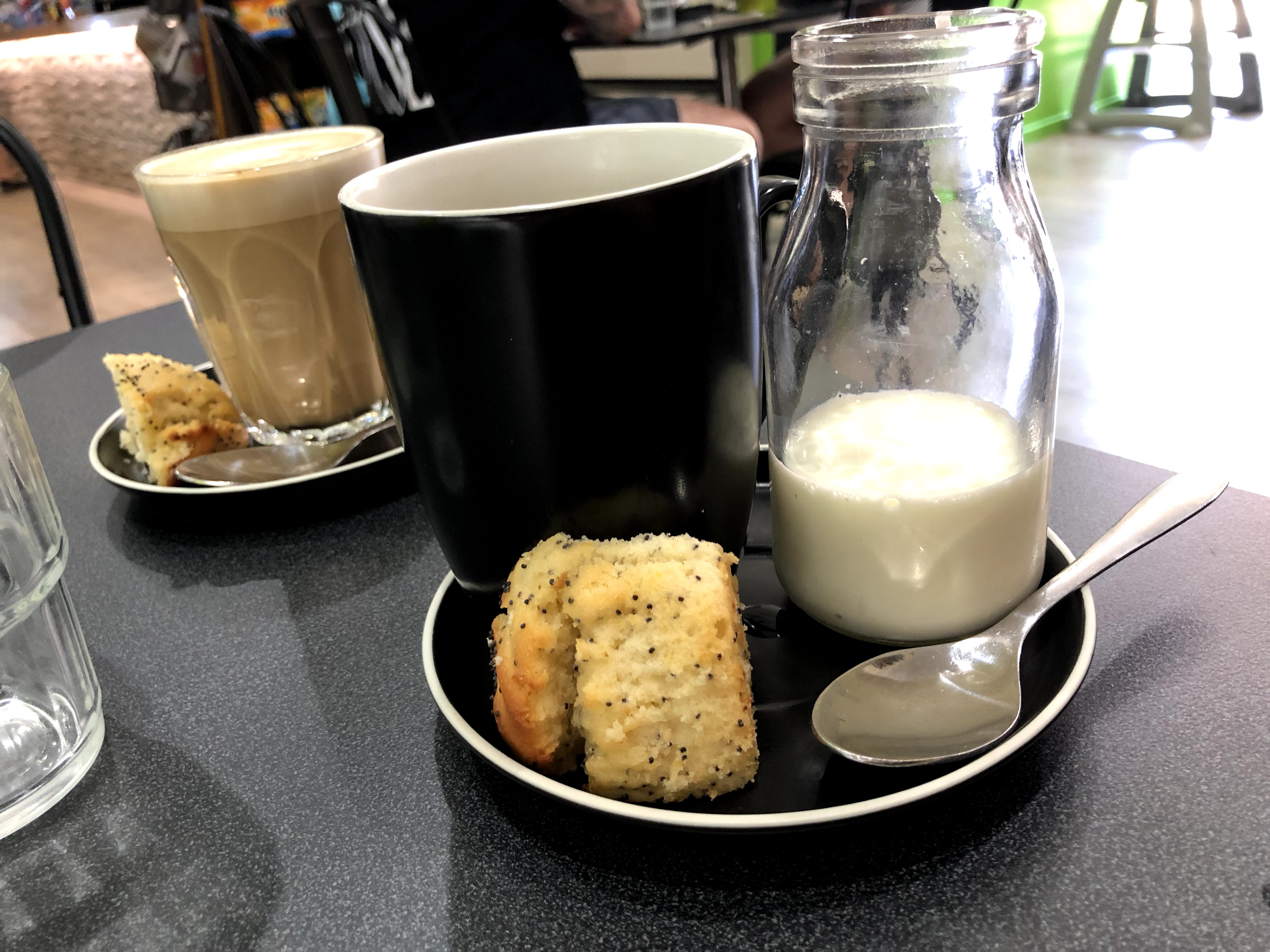
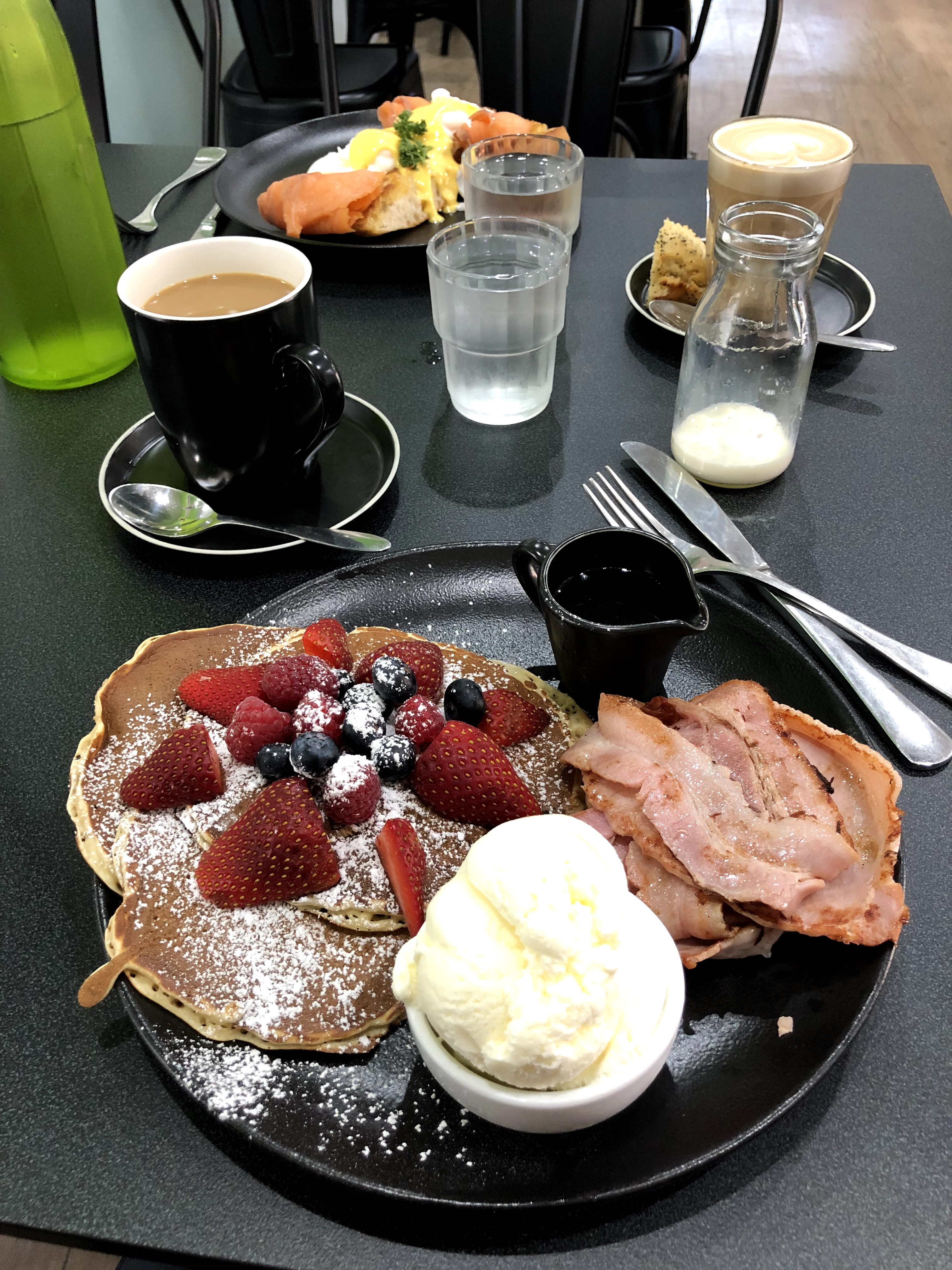
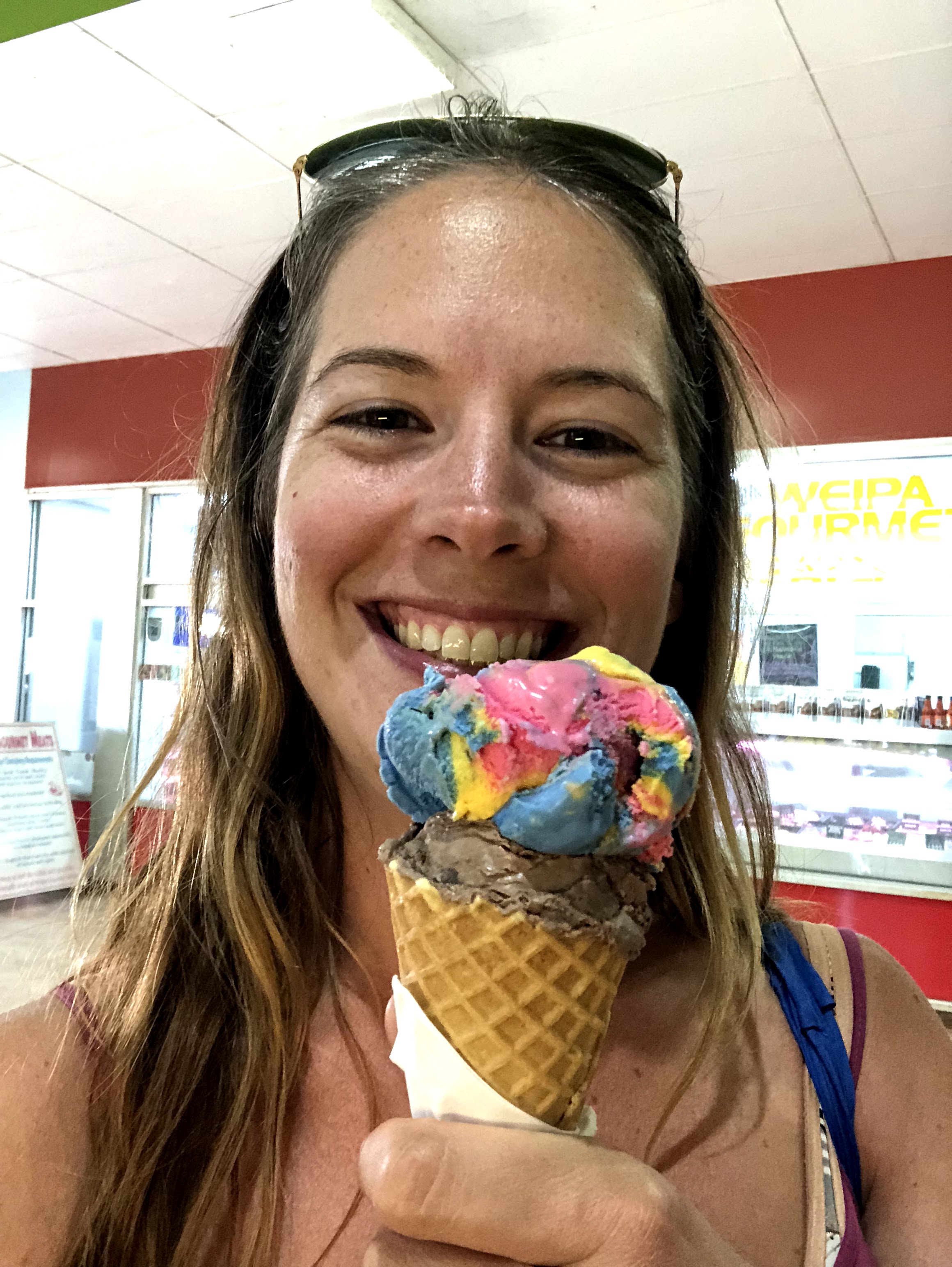
We also happily partook in a few of the perks of civilisation while in Weipa – cafe breakfasts, real coffee, ice cream cones, and cold drinks out at the pub!
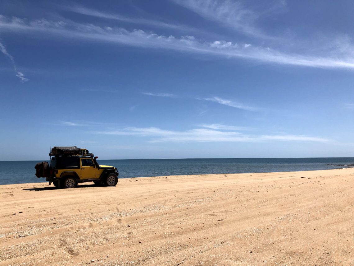
Weipa is near the Pennefather River, which we’d read about as a beautiful spot for fishing (not that we fish), and where you can beach camp for free. The track heading out there is marked as Permit Required on our maps, but upon asking the locals in Weipa, it turns out that no one is bothering to issue or check permits so off we went!
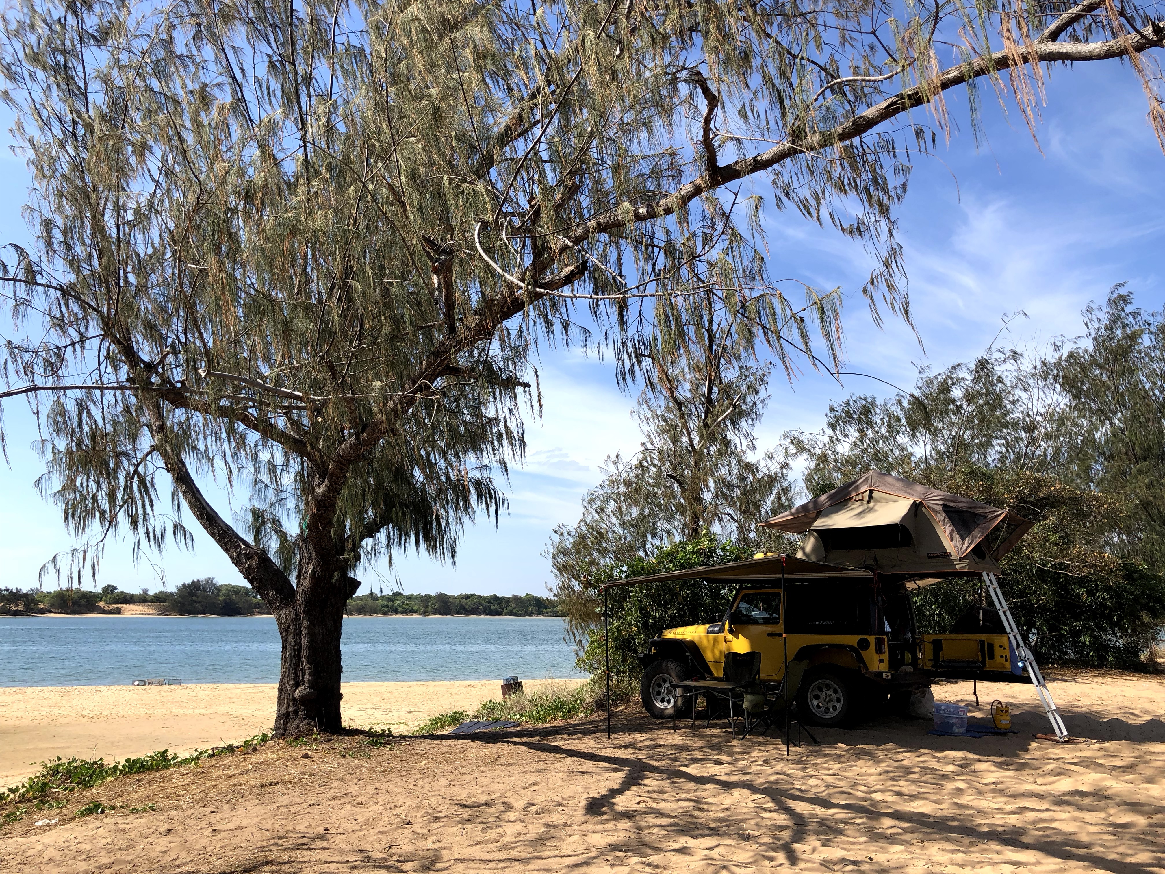
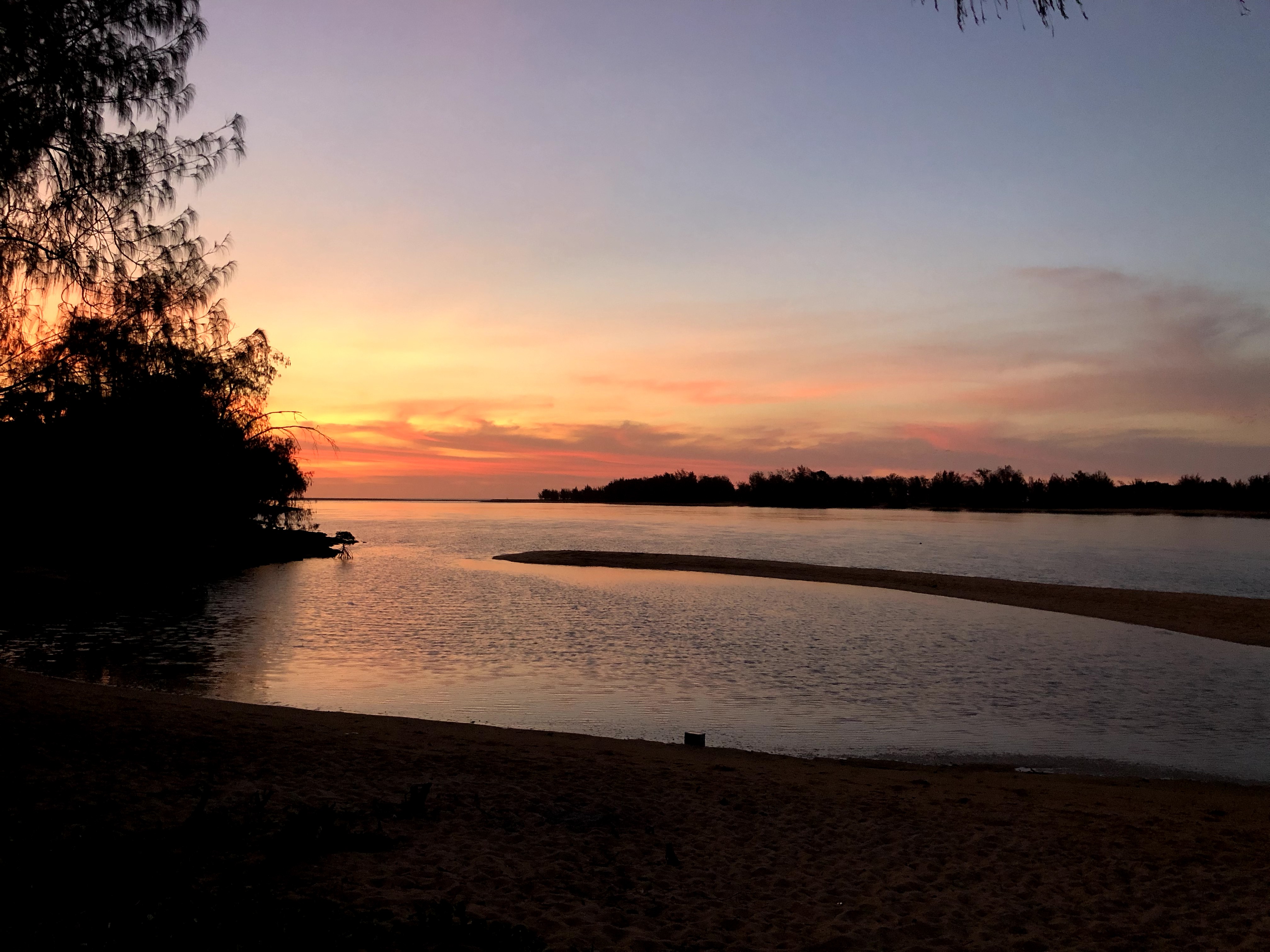
Pennefather was absolutely amazing and everything we had hoped for. Beautiful blue waters, isolated shady beachfront campsites, and glorious sunsets. It’s awesome that this place is free, although tragically there was a lot of rubbish strewn along the shore. We heard this is a mix of trash washed up from Indonesia, along with garbage left by tourists and locals alike. It may be well worth implementing a fee or permit system for this place so that people realise what it’s worth…
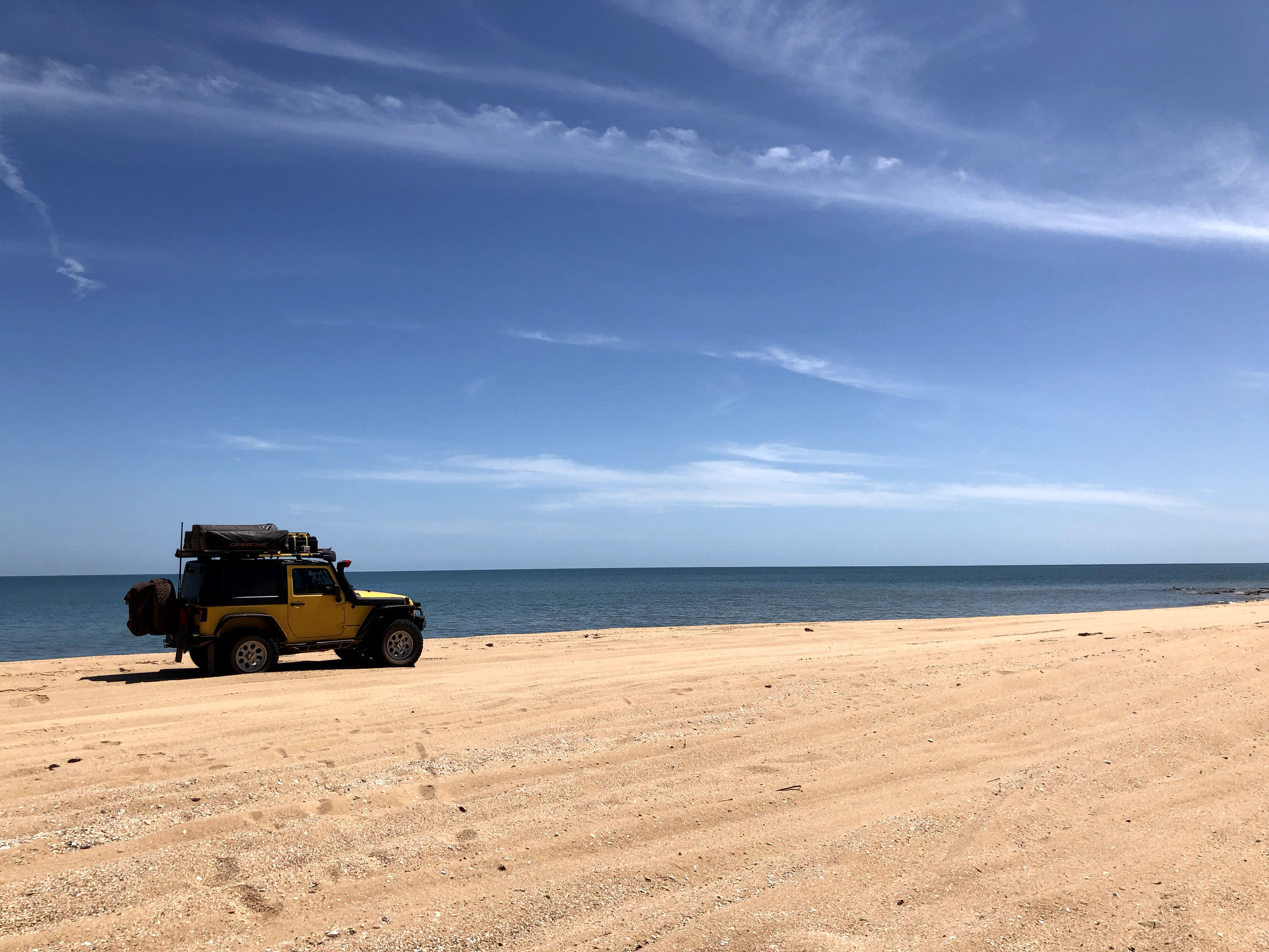
We stayed at Pennefather two nights, which was about our limit as it got up to 35C in the shade and there’s absolutely no swimming in these croc-riddled waters (and yep, we heard many suspiciously large splashes and ‘snaps’ after dark as the crocs came out to catch their dinner).
Repairs done, projects done, and Jeep stocked up, it was time to hit the road again, onward to our next destination of Karumba on the Gulf of Carpentaria, at the southwest edge where the Cape York Peninsula joins the proper main land mass of continental Australia. It would be a two day journey to get there, first southeast over to Coen and across the Northern Peninsula Area (NPA) quarantine line, over which you aren’t allowed to bring fruits or veg, and then southwest across the Peninsula on a shortcut track through a few stations (a station is a ranch, for our non-Aussie friends and family) and back down to the main road which circumnavigates Australia, Highway 1.
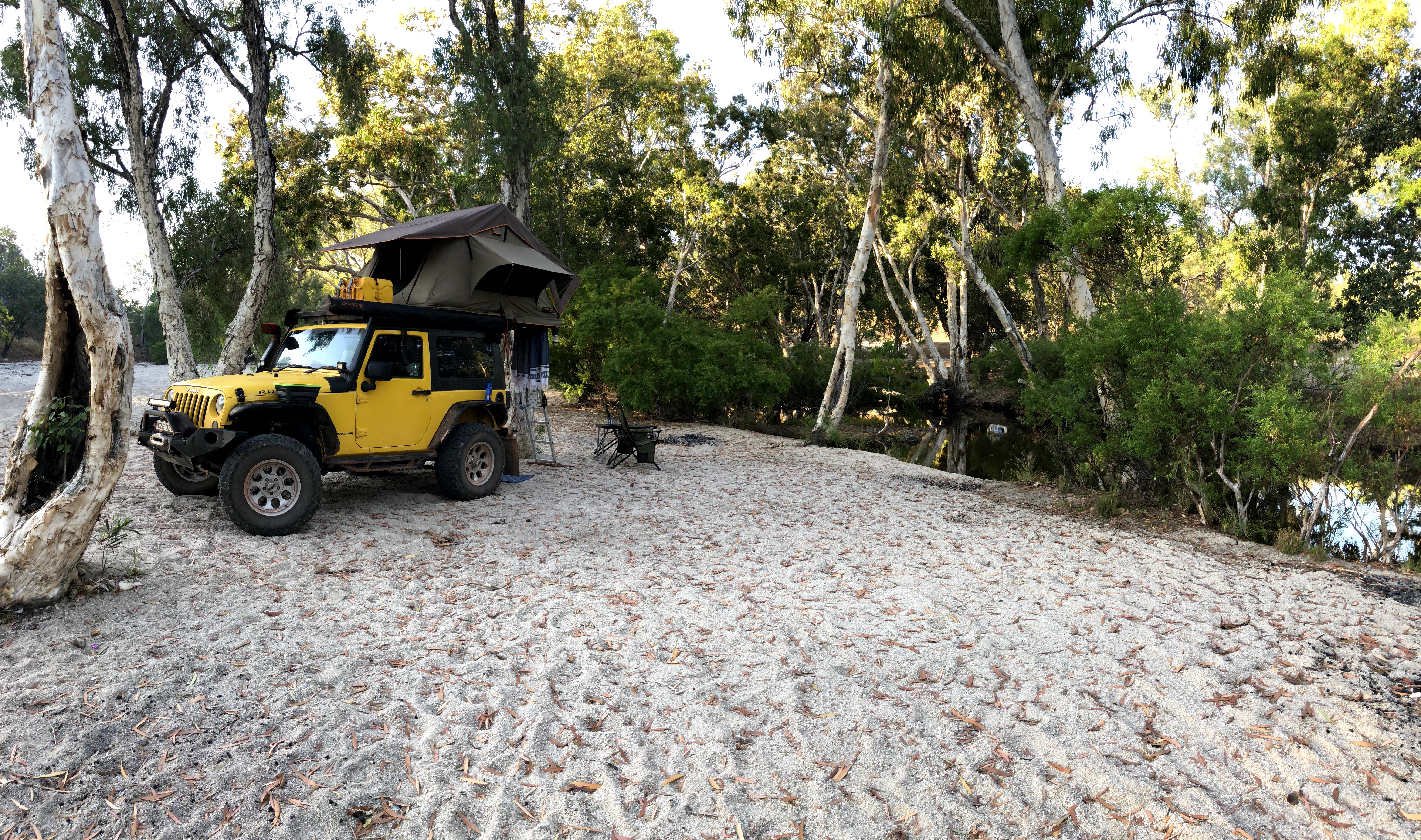
Being over 850kms on dirt roads, this leg would definitely require an overnight stop. We found a gorgeous little free camp site by the river at Coen Bend to rest our heads and even had a small campfire with some of the wood laying around nearby.
And finally, the next evening we rolled into camp at Karumba, a coastal town just off the Cape York Peninsula and on the Gulf of Carpentaria.
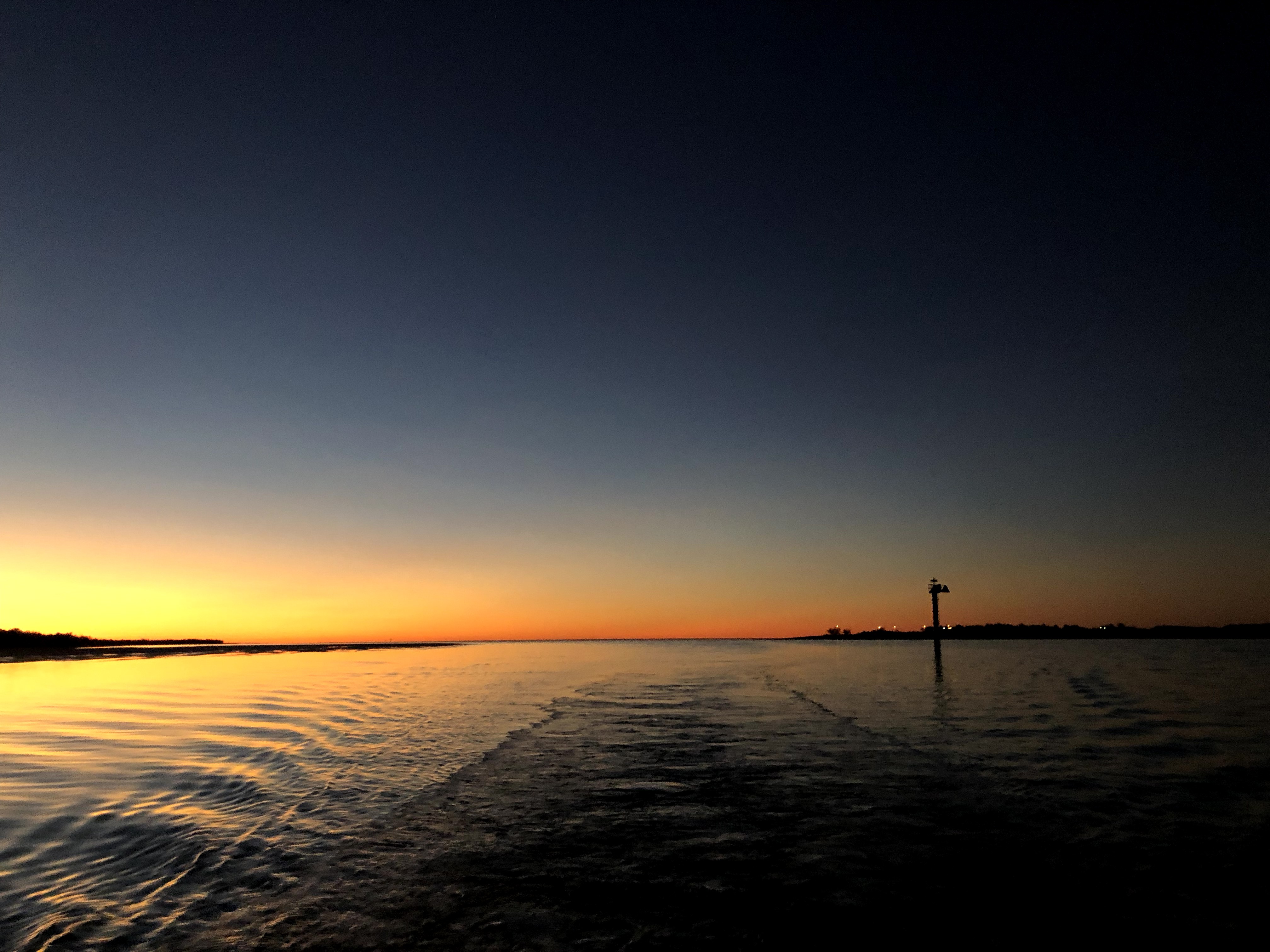
Karumba is a quiet town well known for its fishing, especially prawns and barramundi, and from a touristy perspective, the sunset cruise which includes croc-spotting, bird-spotting, interesting background on the area, a gorgeous sunset, and a bonus of free wine, beers, soft drinks, cheese & crackers, and fresh local prawns.
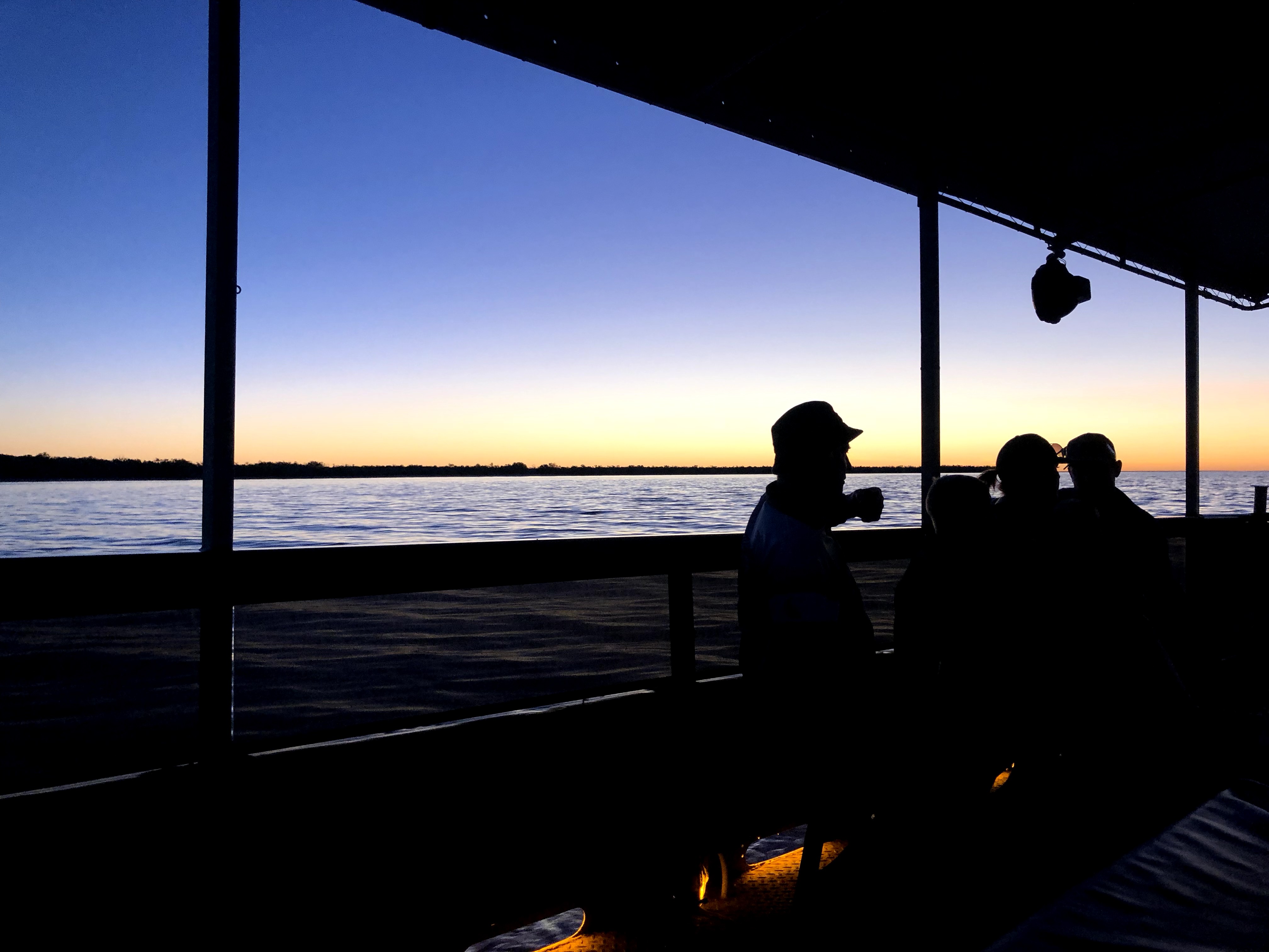
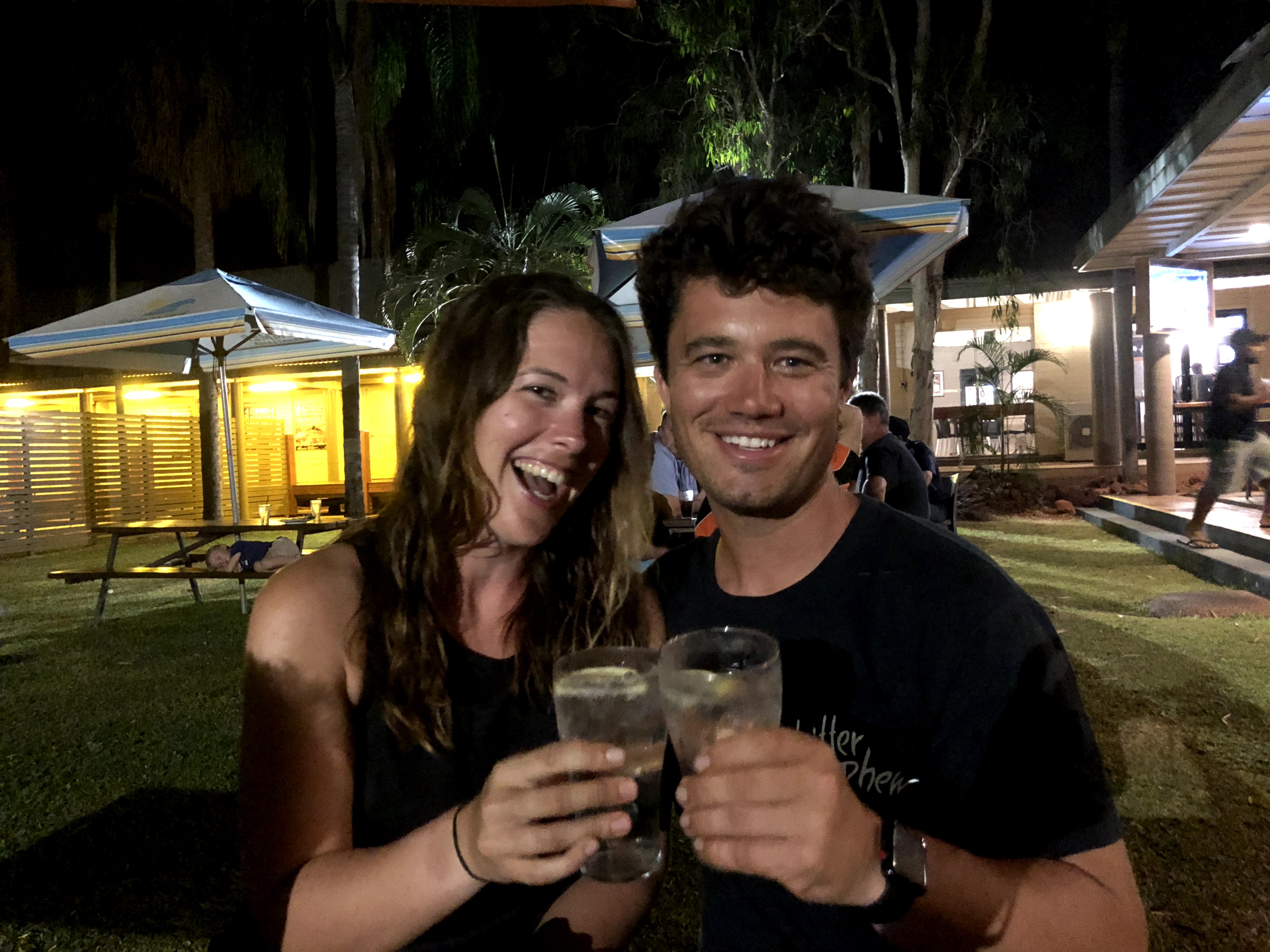
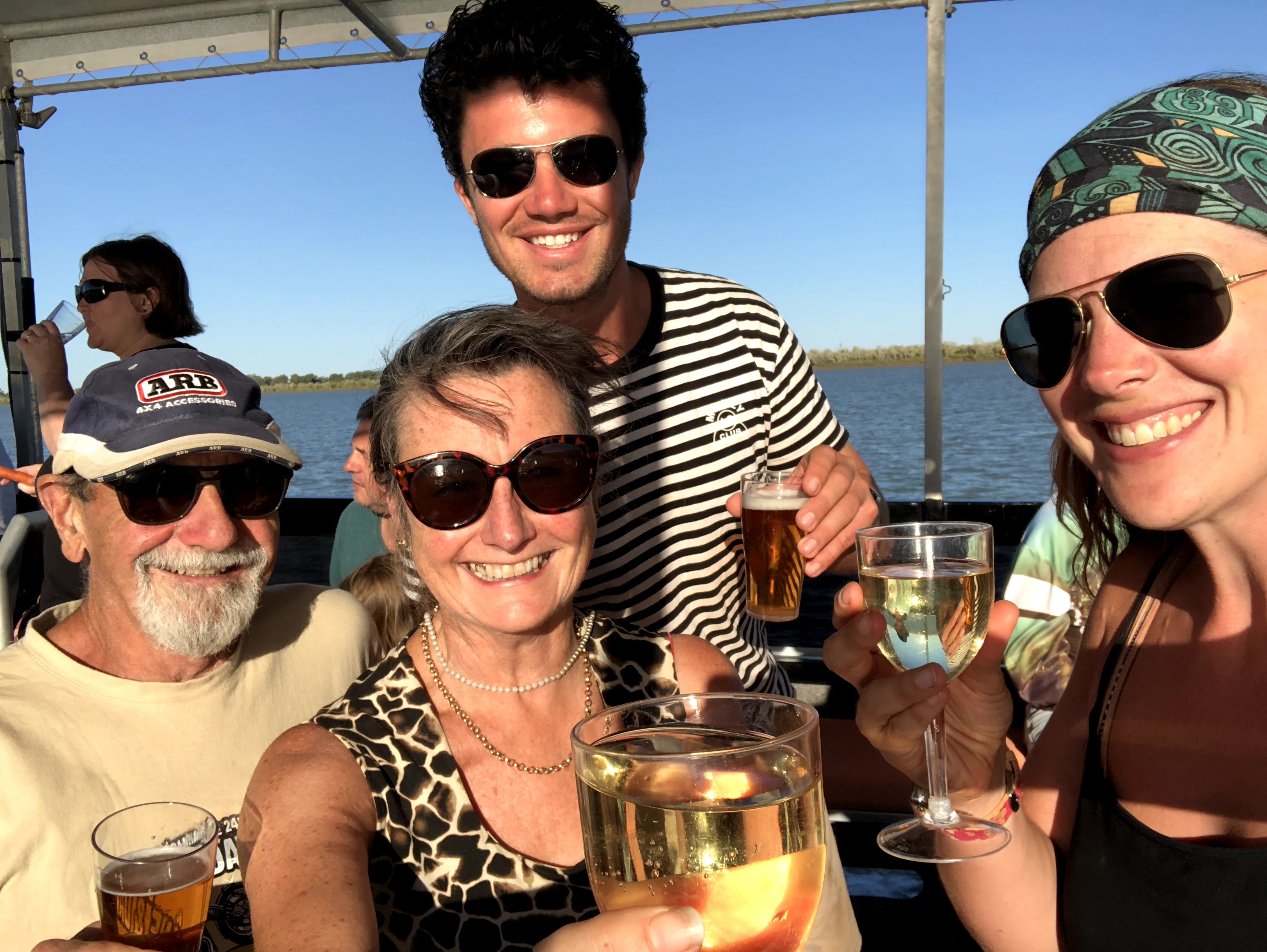
We were happy to join the sunset cruise and drinks afterward with our new friends, Julie & Andy, who we’d run into a few times on the road and who’d saved us from the dreadful fate of not being able to pay for our drinks at the pub in Weipa as they only accepted cash!! (Thank you again Joolandi!!)
And with this sunset, the sun set (hah!) on the Cape York and north-bound segment of our trip, and we were now headed west across Queensland to the Northern Territory and ultimately Western Australia.
MVP: Many places on this leg of the journey were shared with us by locals or by other travellers. For example Coen Bend, Pennefather, and Karumba were all places where we wouldn’t have known to stop without the enthusiastic recommendation from a friend or local. We always ask others for their tips and favourite spots – and it’s never let us down!! So, the MVP in today’s post is: local knowledge. Have a chat, stop in to the “I” centre, check WikiCamps reviews…anything to get at those local secrets!
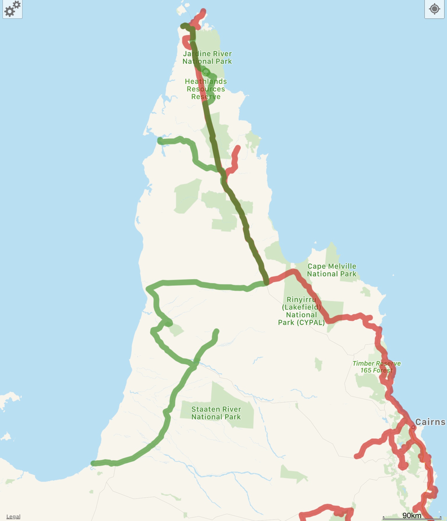
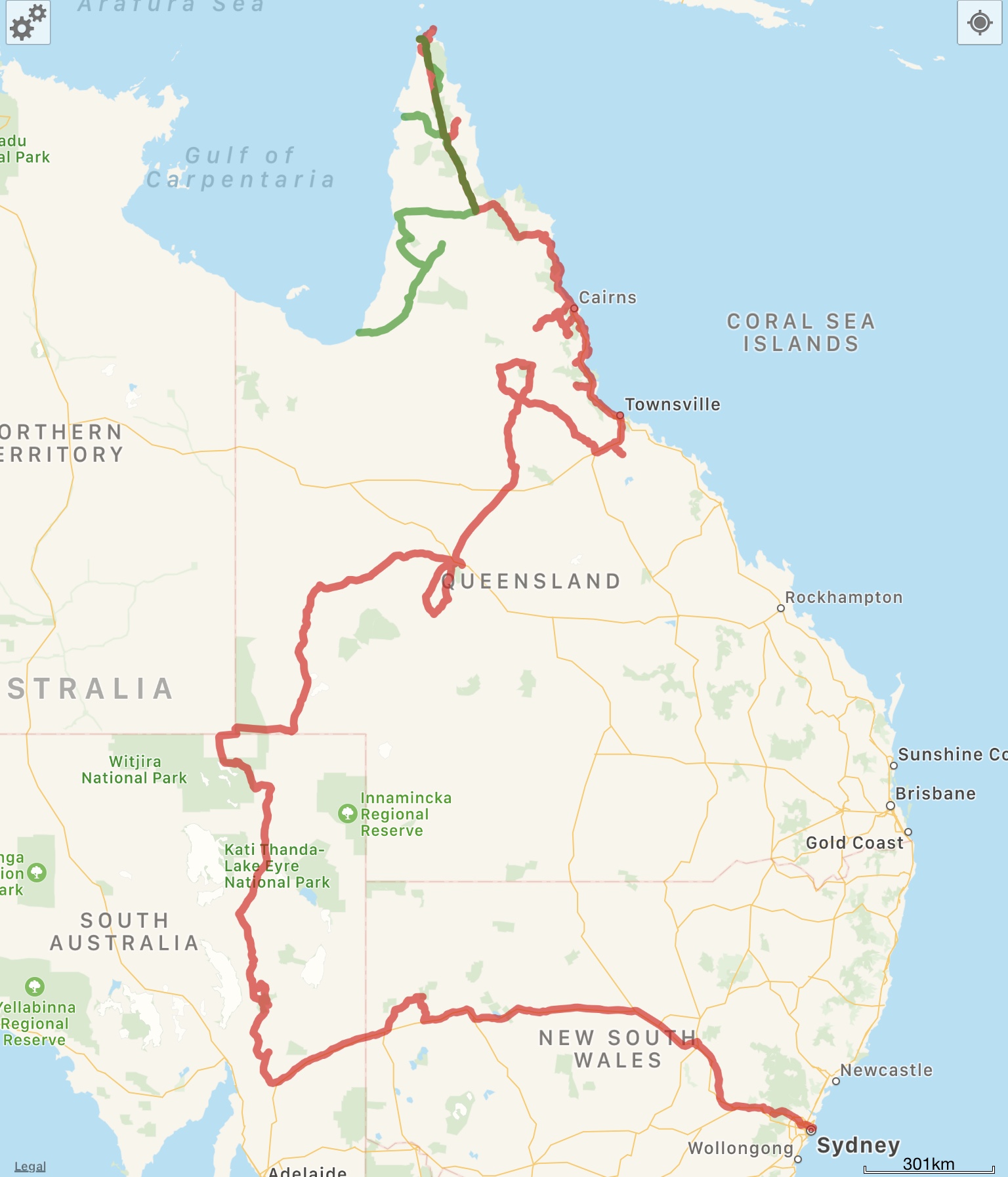
So, Where Exactly Is This?
Here’s a screenshot of this leg of the journey from WikiCamps! The red is what we’ve already covered, and the green is what was featured in the post you just read. You can also follow us live at this link – our satellite device pings our shared map frequently


One Comment
Mom
Marvellous job kids!