Cape York Part Four (Adventures Around The Tip)
We’d made it to the top of the Old Telegraph Track, but there was still a little farther to go to the very top of Australia, and a few adventures to be had before we headed back down and west to start the next part of our Big Lap around Australia.
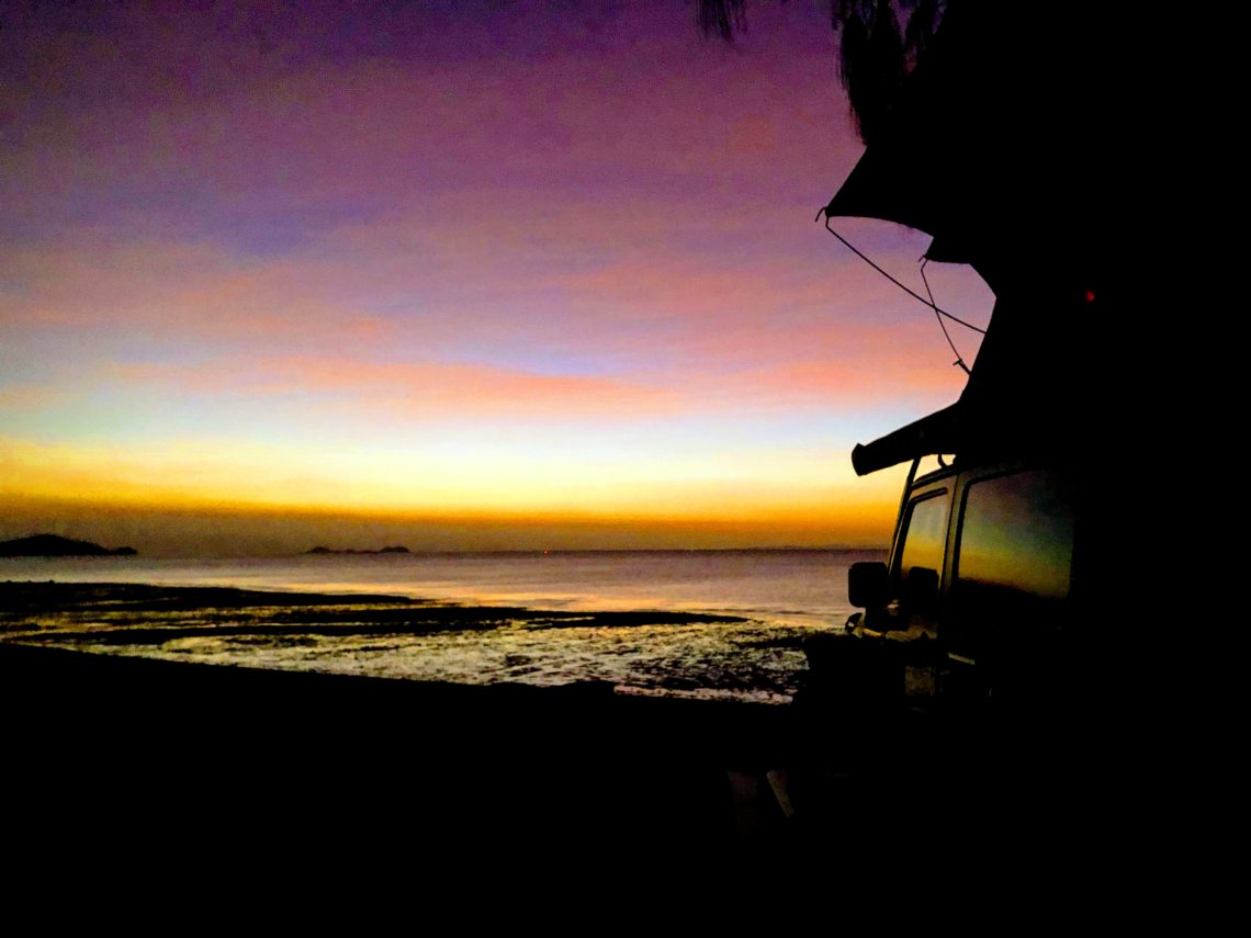
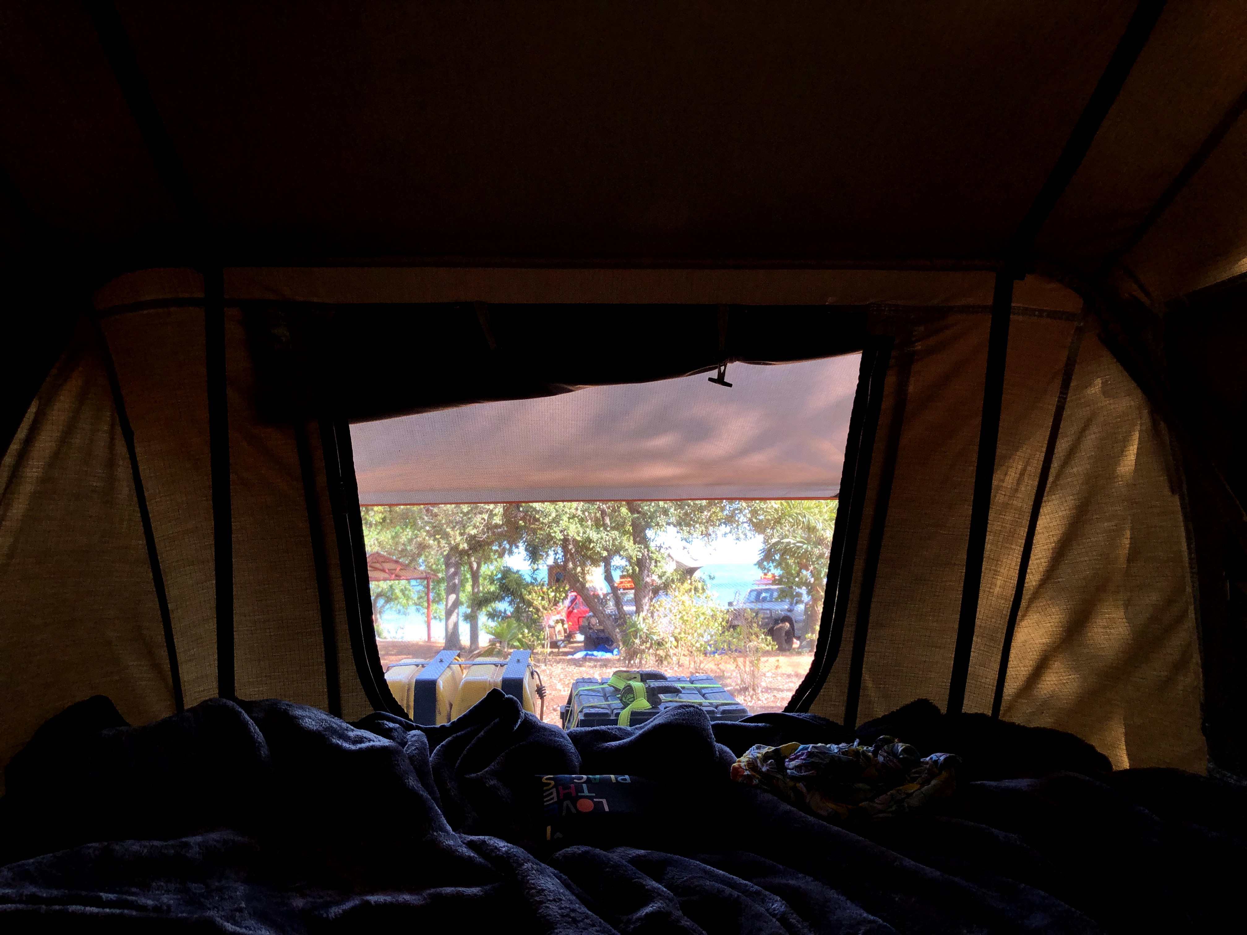
At the end of the last post we had camped up at Alau Beach, and celebrated our victory over the OTT with a few drinks and some sunset spectating at the beach. After a fantastic sleep we woke up with the ocean in view from our tent, excited to explore what the Tip had to offer.
Our primary objective for today was to hit up the northernmost point of Australia. There’s a sign up at the very tip of continental Australia that is a pretty frequent photo subject for everyone who’s made it up here and we had to get our shot. Even though there’s heaps of stuff to do and see up here, we just couldn’t put this particular destination off – we had to tick the box! But, of course, we’d take the scenic route to get up there.
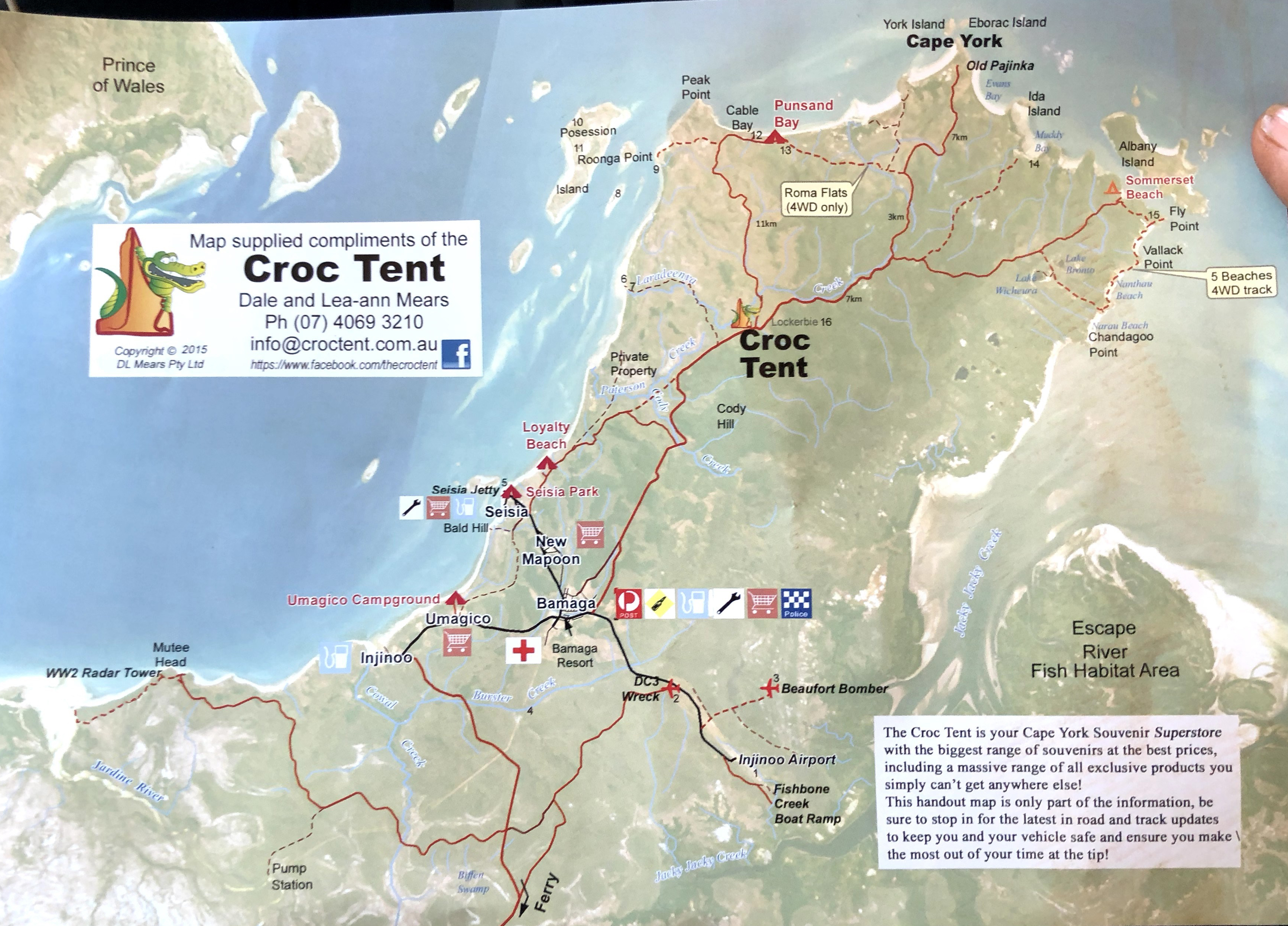
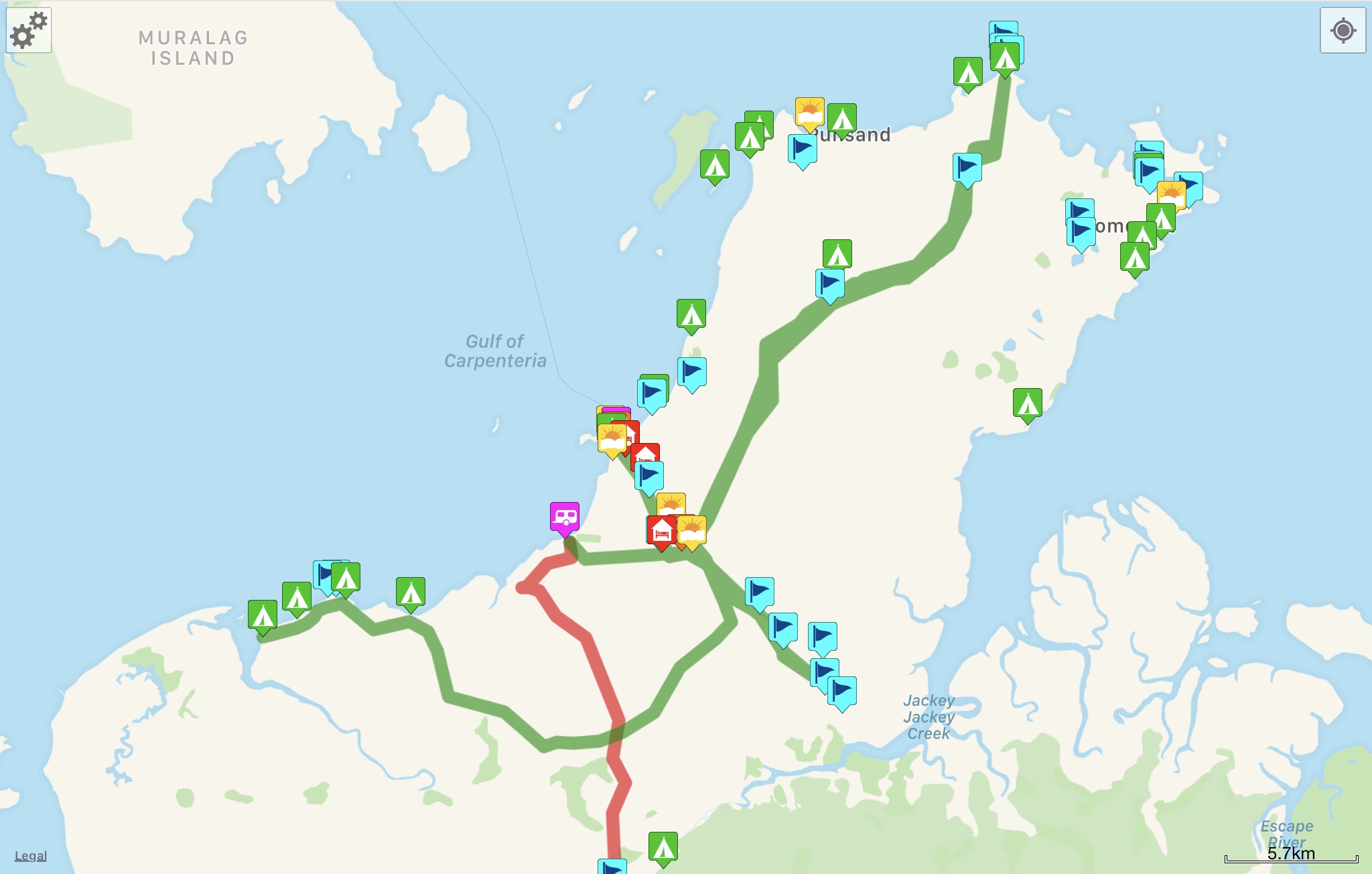
First, here’s a bit of a map to orient you to the area. We were at Alau Beach, starting near the “Umagico Campground” red tent on the lower west coast. The northernmost tip of continental Australia us up at the “Cape York” words near the top of the map. It’s about 40km between Umagico and Cape York.
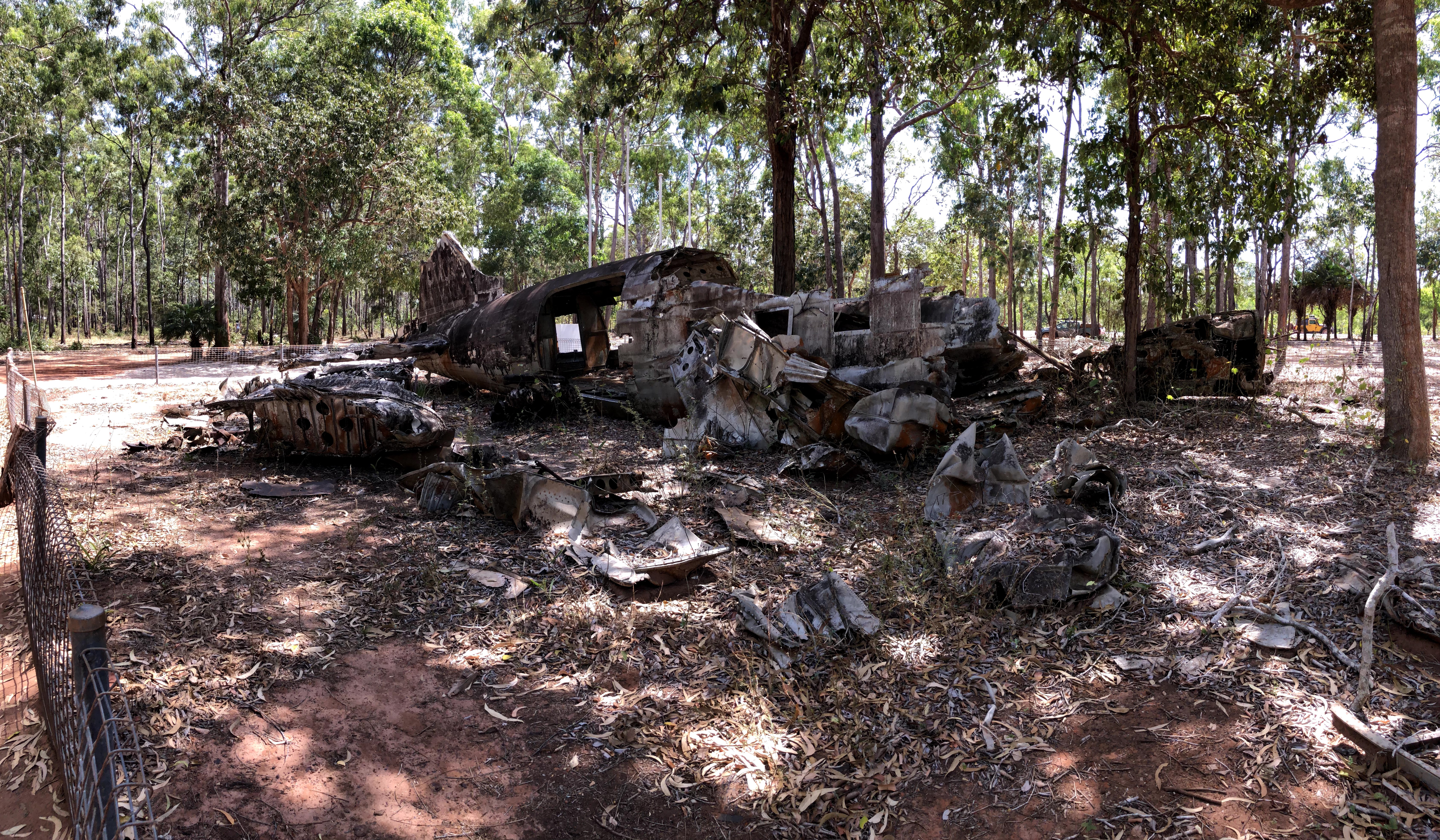
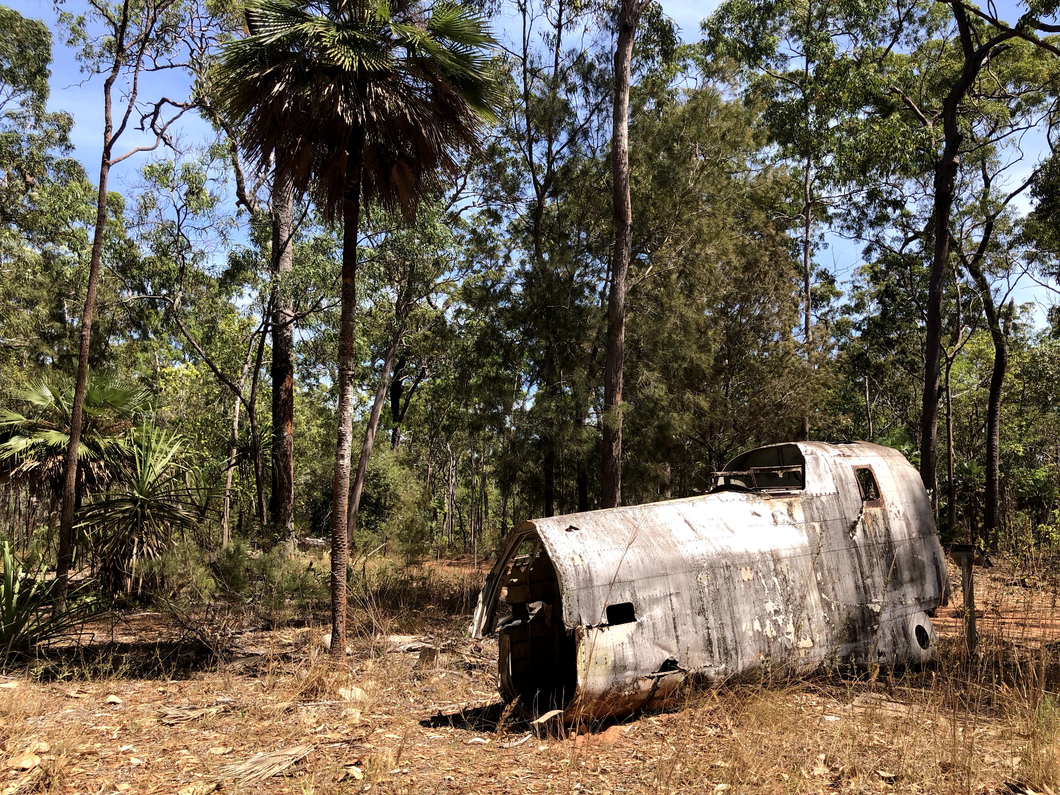
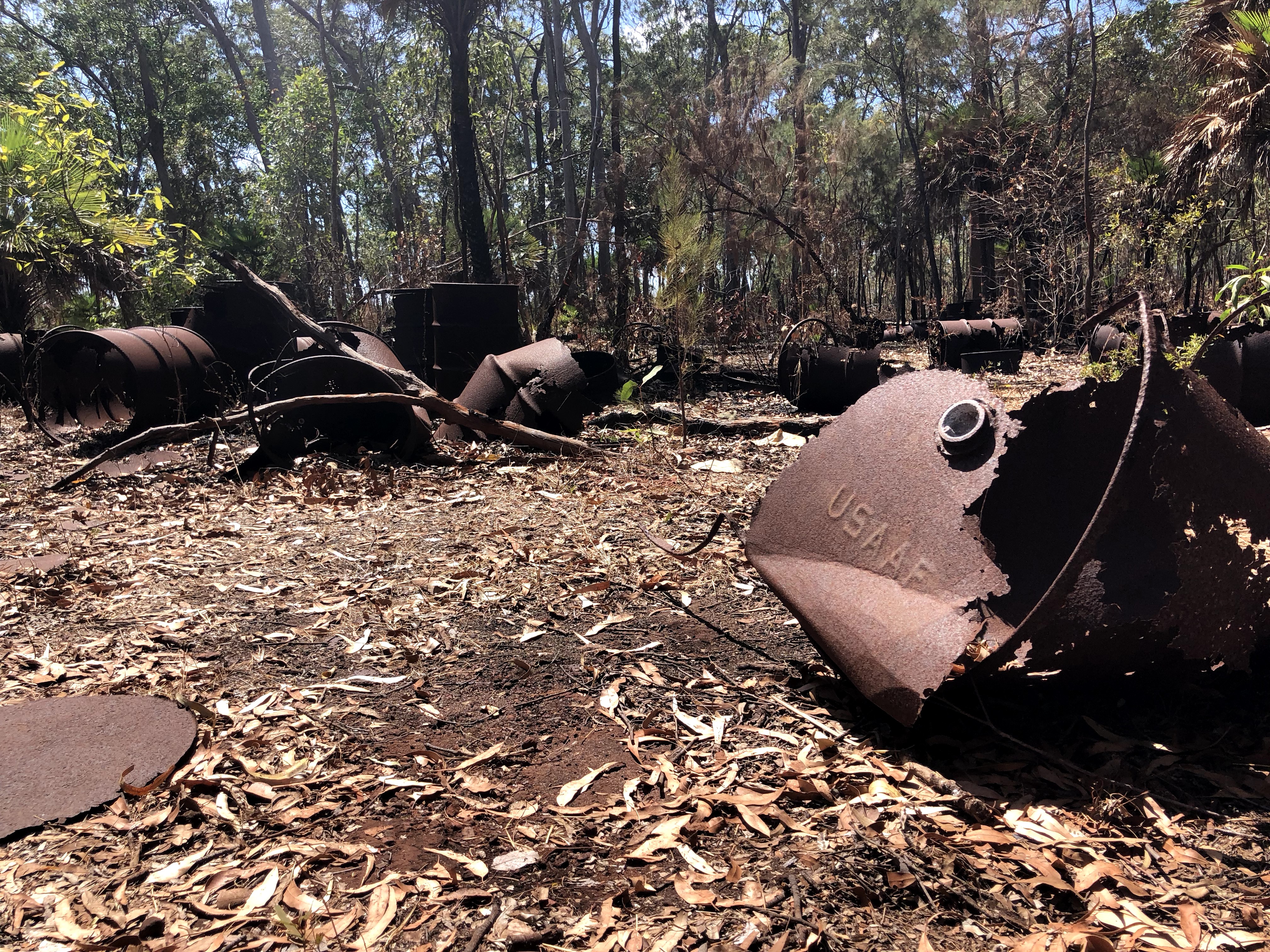
Cape York has a bit of military history in the form of a few sites of downed aircraft and dumped fuel barrels. We checked these out on our way up north, pretty crazy to see WWII aircraft remains just hanging out in the middle of the rainforest.
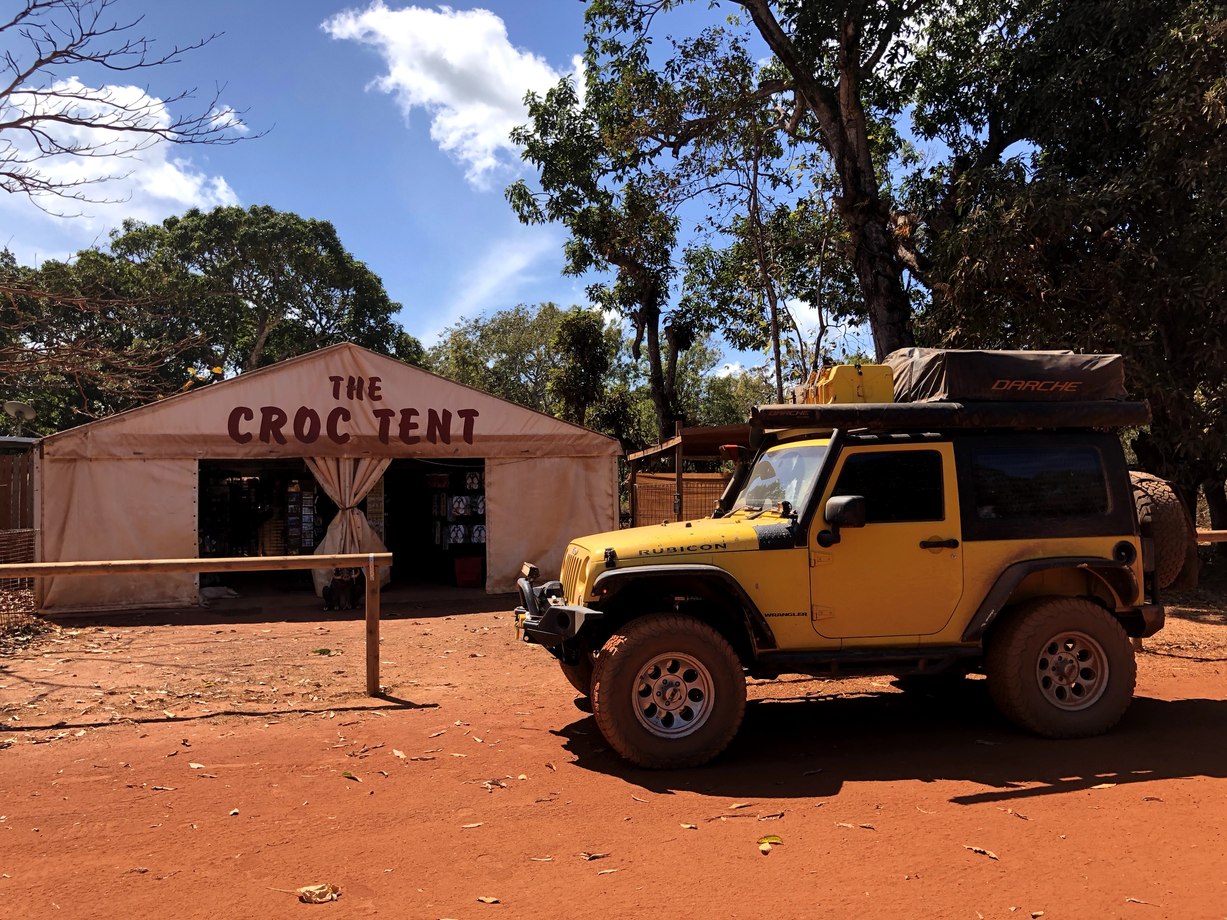
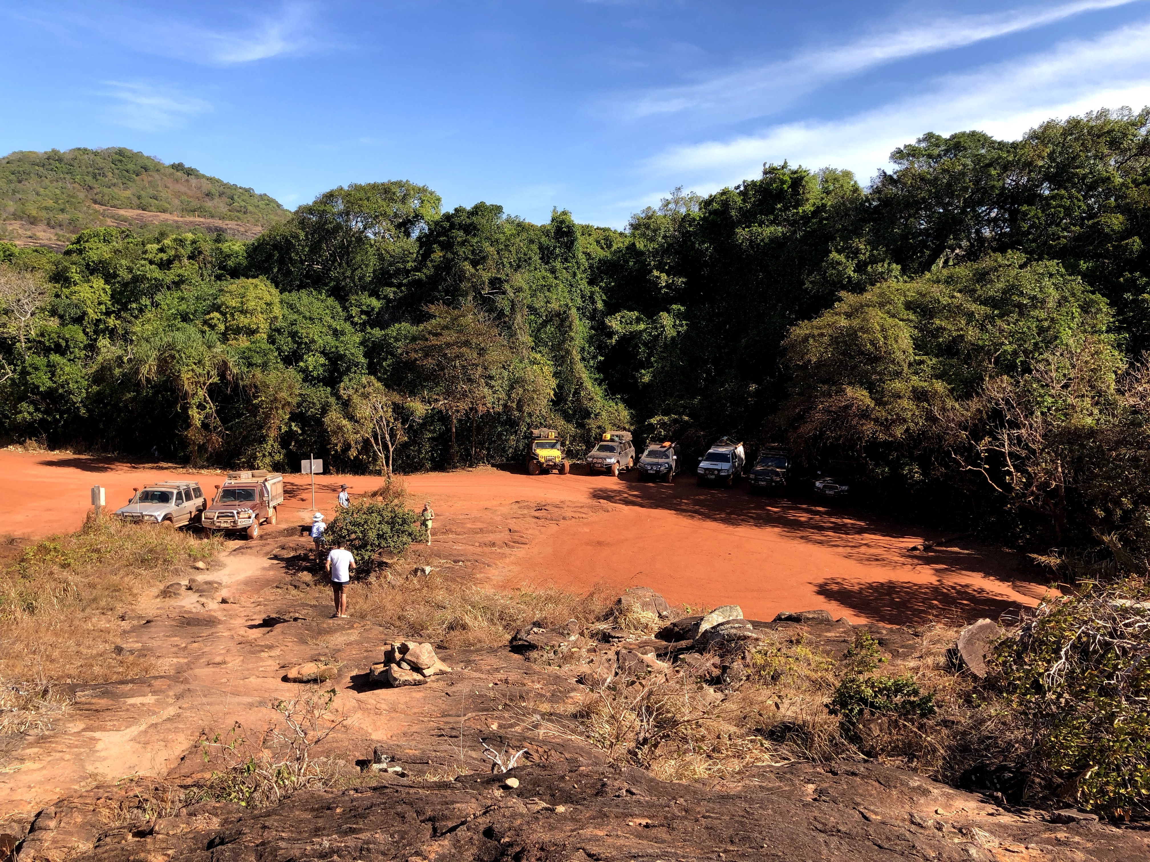
Next up, along the drive up Pajinka Road to the tip, is the Croc Tent – Cape York’s best souvenir tent (and probably the only souvenir tent??). They’re also the source of great advice and the map I shared above, so of course we stopped in for a chat. They were able to tell us track conditions and all about their favourite free campgrounds, and of course sell us a couple knick-knacks as well (an OTT coolie and singlet, if you were wondering).
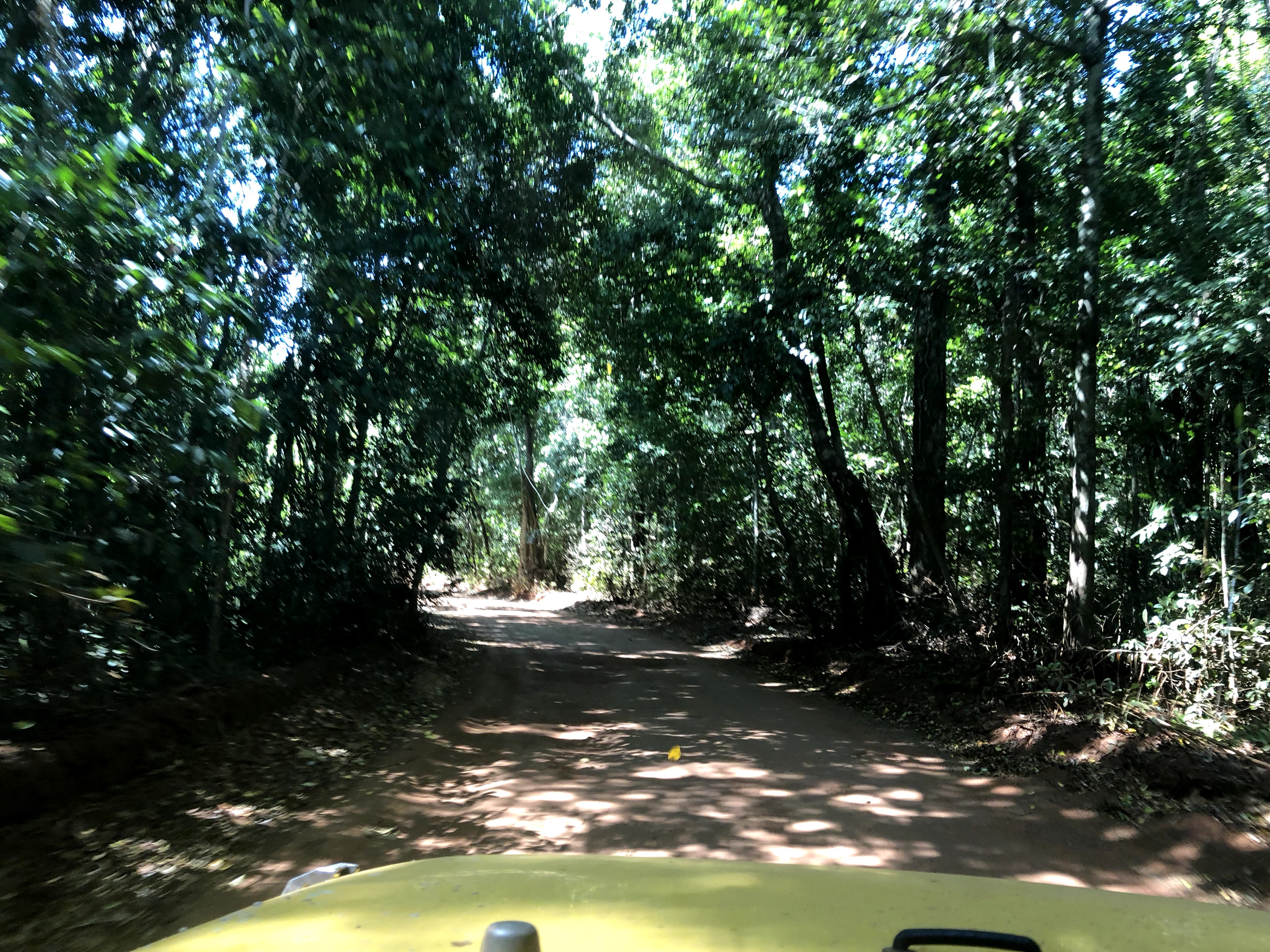
From the Croc tent it’s a pretty quick drive (4wd only though) through beautiful peaceful rainforest along a single lane dirt track up to the tip.
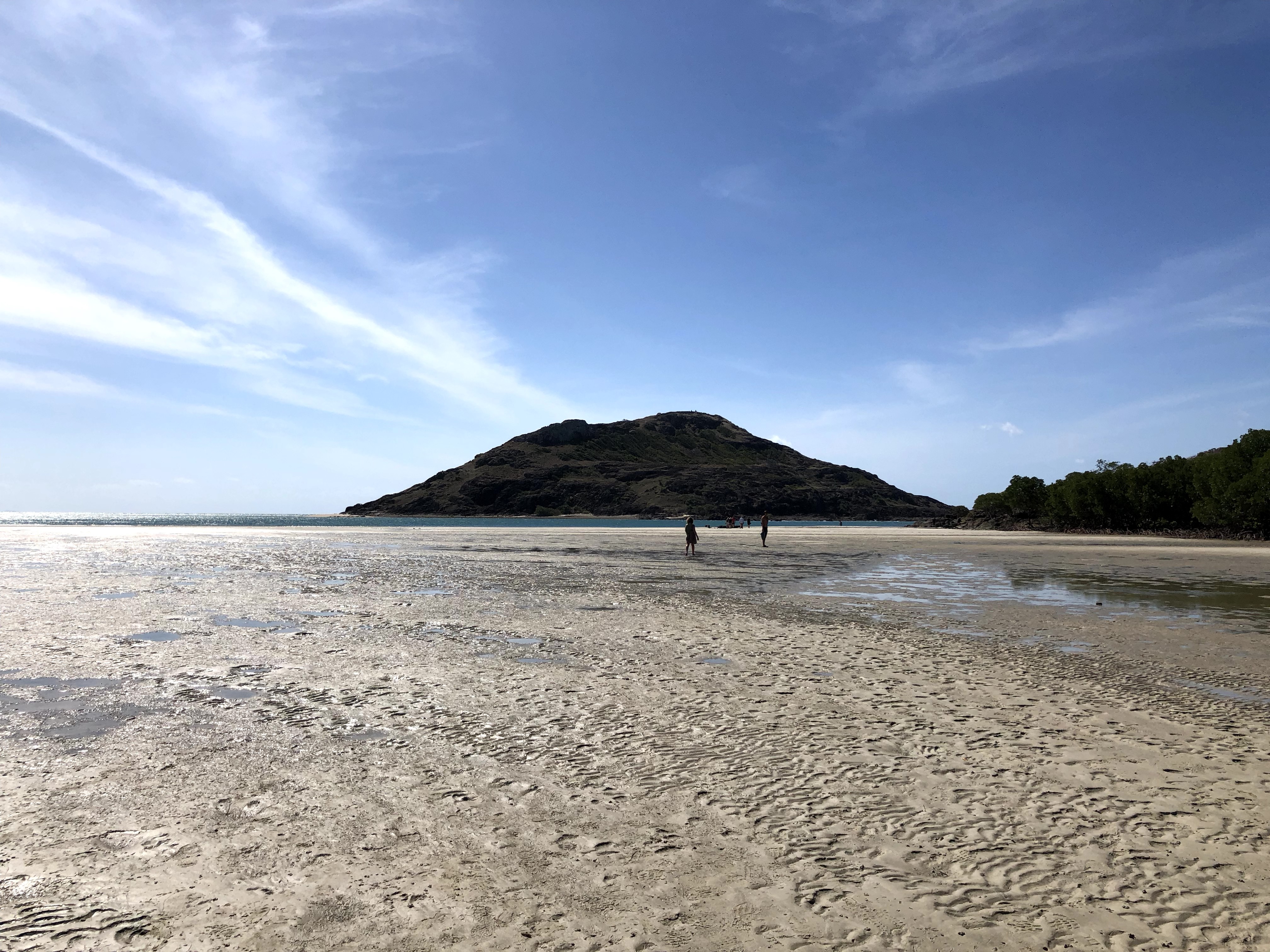
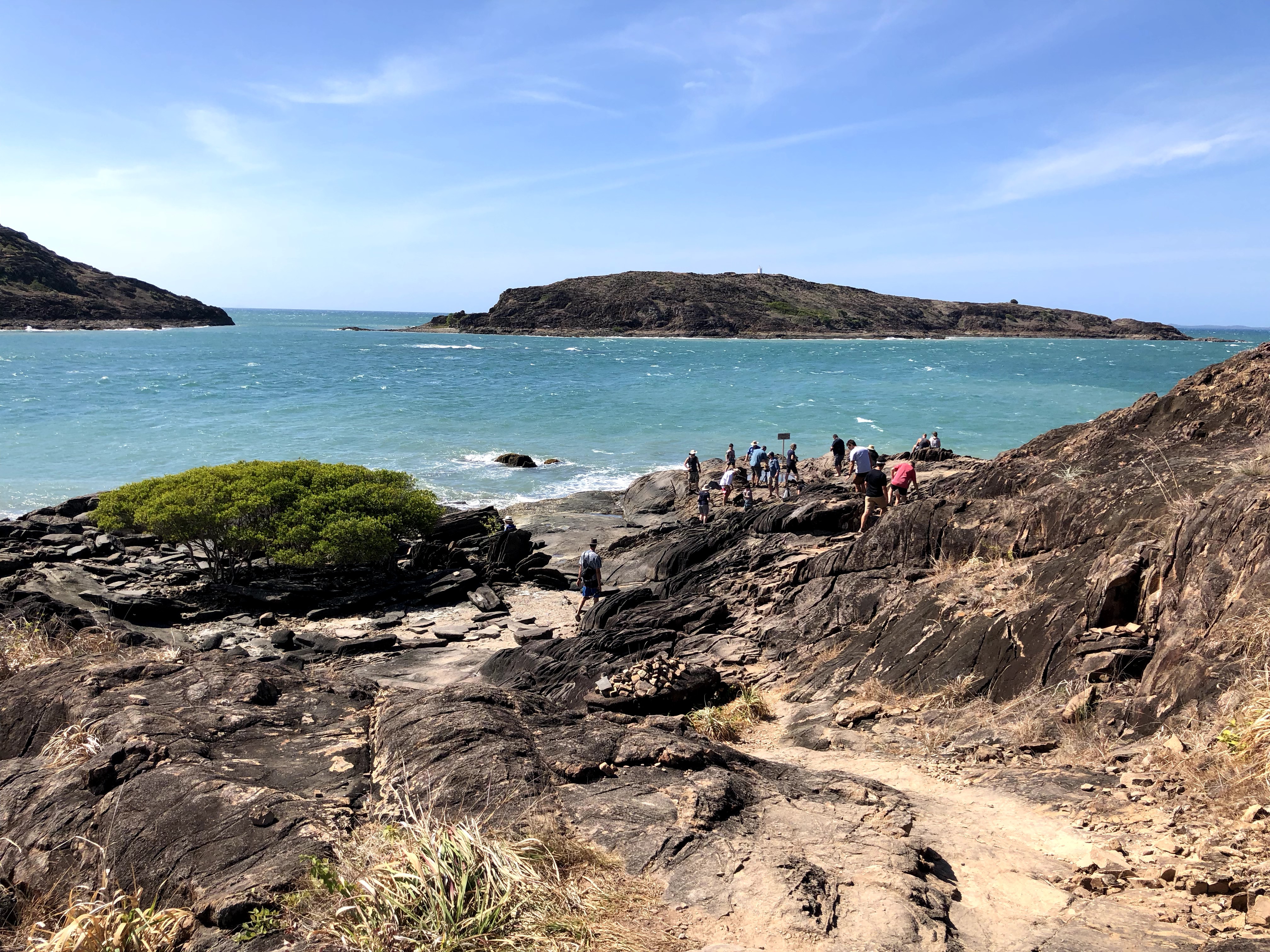
Finally we arrived at the car park, from where it’s a pretty quick, maybe 10 minutes walk up to the northernmost point of Australia!
You can walk along the beach at low tide, or climb along a rocky trail at high tide, or try both ways if the tide is low! (Which we did, naturally)
And finally…drumroll please…the moment you’ve all been waiting for….!
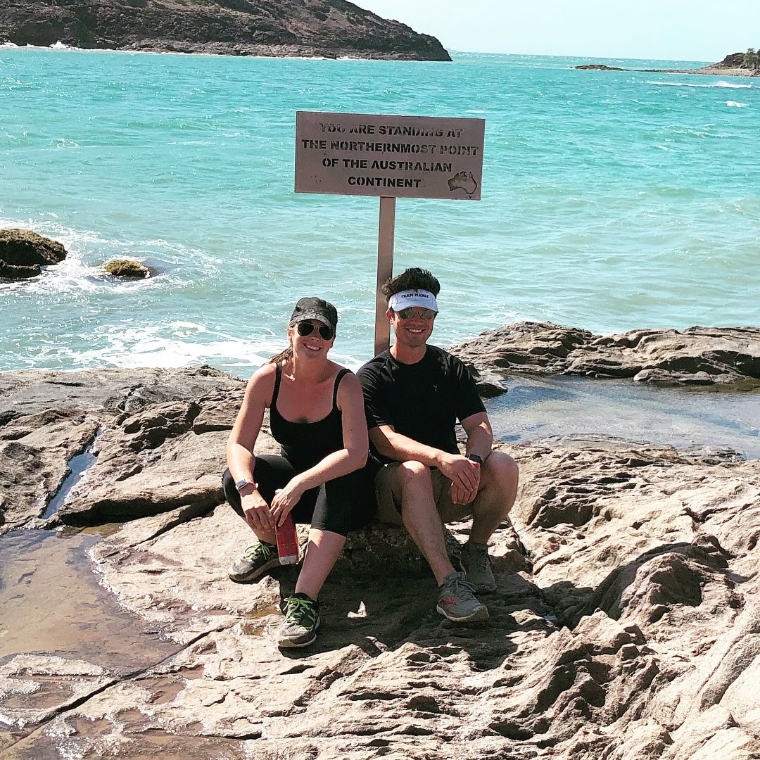
Nick and I have now been to the easternmost (Byron Bay), southernmost (Wilson’s Promenade), northernmost (Cape York), and lowest (Lake Eyre) points of Australia. On this trip we also plan to hit the westernmost (Steep Point), centre (Lambert Centre), and highest points (Mount Kosciuszko).
After hitting the tip it was time for a couple of rest days – laundry, groceries, and chilling by the beach.
Part of groceries was re-stocking our supply of adult beverages. Up here though, there are severe penalties for disobeying the alcohol restrictions – we saw one sign that indicated if you are carrying more than the allowed amount per vehicle (not per person), the fine is $75,000!!! These restrictions are not to be taken lightly…
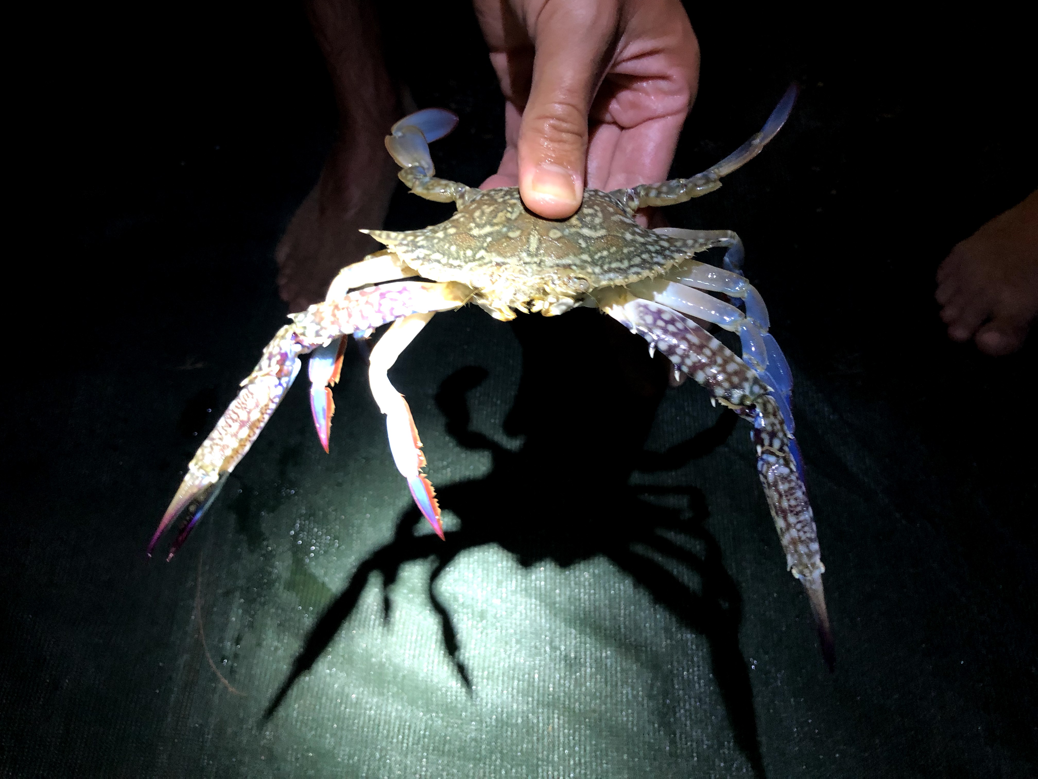
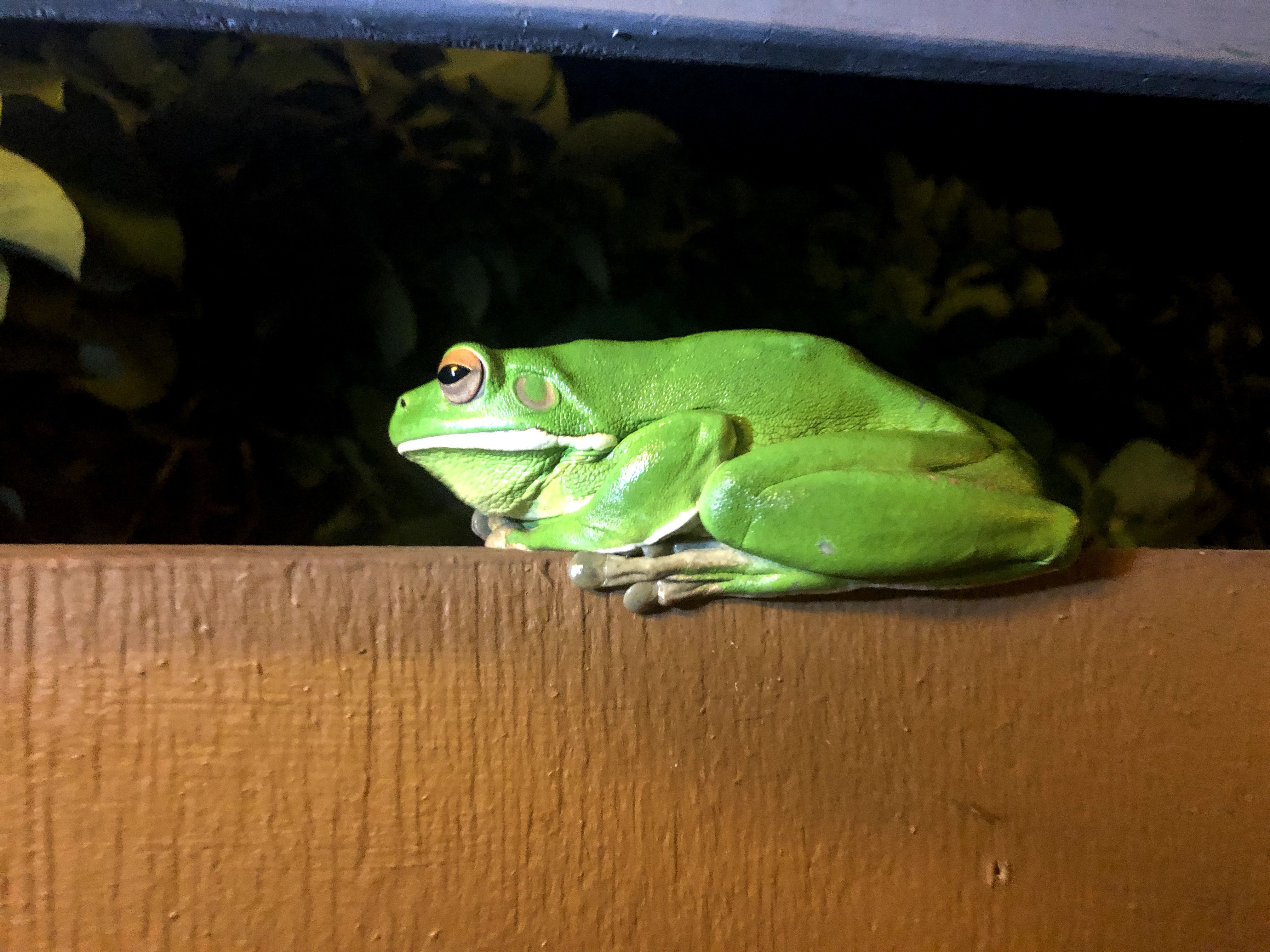
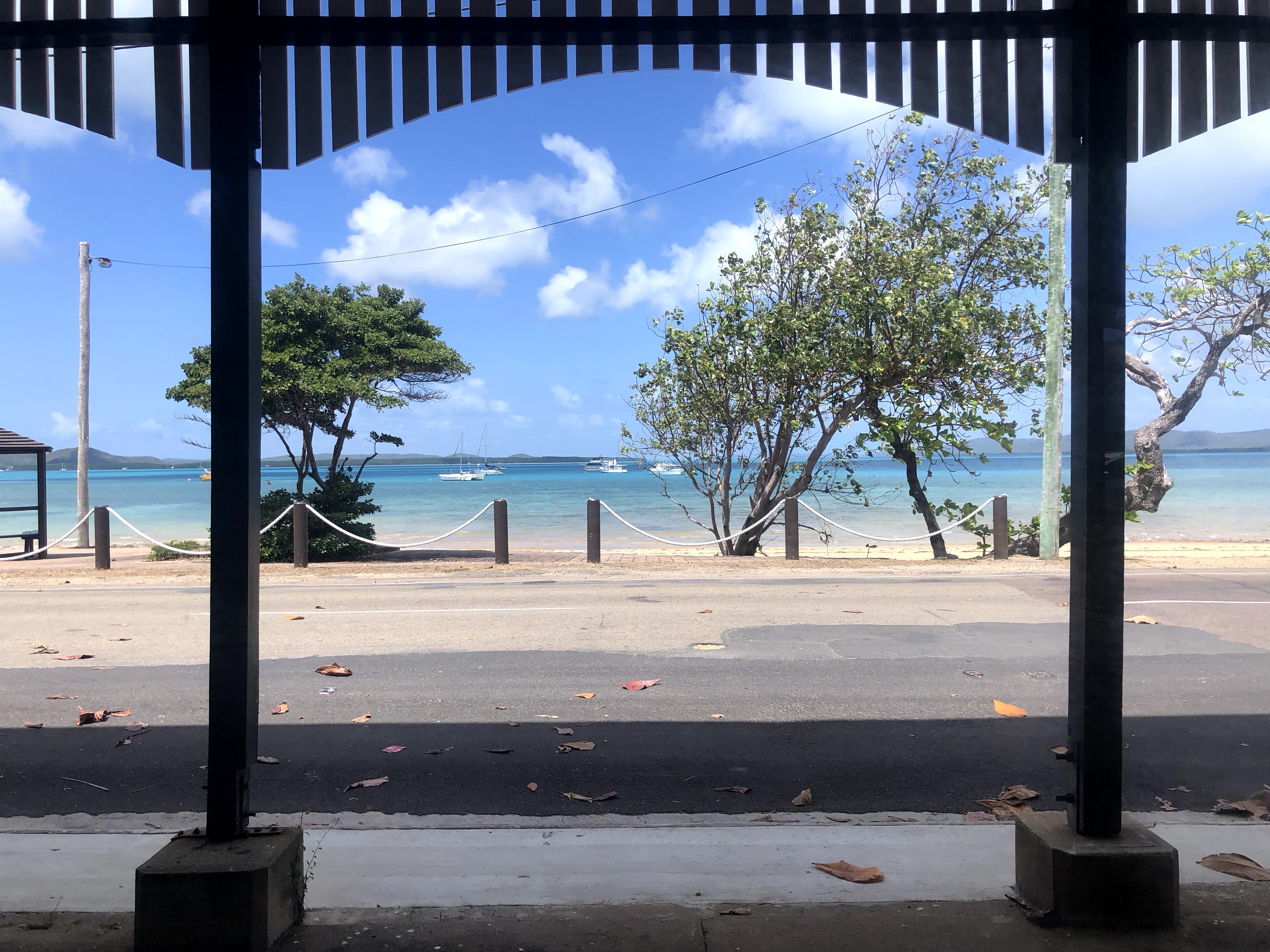
We opted to spend our rest days at the Loyalty Beach campground, where there were yet more beautiful west coast sunsets, and where after dark we met a couple members of the local wildlife.
Our next big adventure at the tip was a fishing charter. Biz had already booked a fishing trip, and luckily the operator was able to up-size the boat on short notice and the whole crew who accomplished the OTT together were all able to tag along and fish too! It was so awesome that they were able to do so because this was one of the top highlights of the trip so far for us.
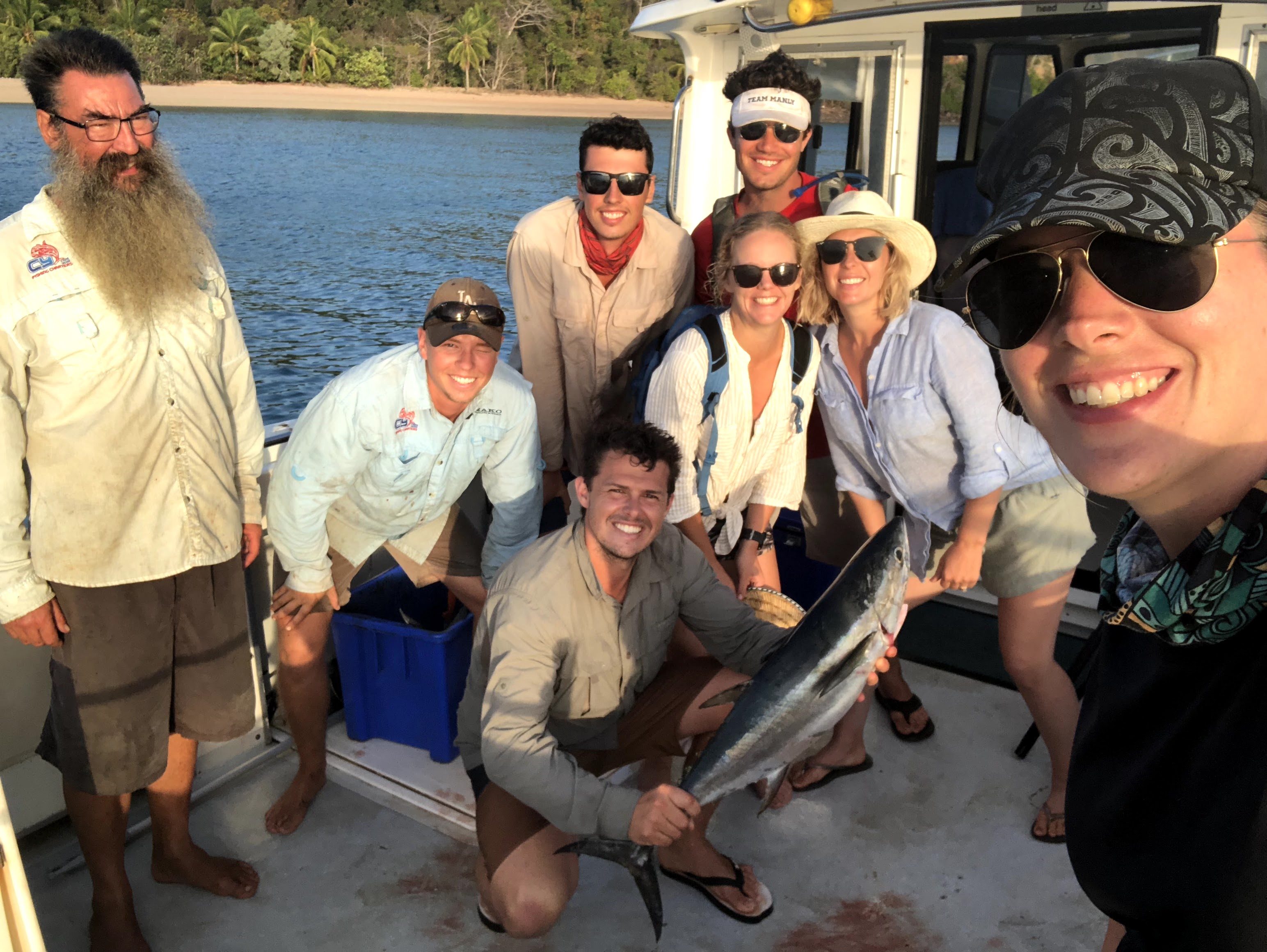
Check out the video for all the highlights…we had an absolutely amazing day and managed to catch many fish (most of them thrown back): some tropical reef fish, a few barracuda, an alligator garfish, a bludger, a shark (and probably something that was now inside the shark), and two tuna. We kept the tuna, and ate tuna for days (including tuna sashimi while it was still fresh – yum!).
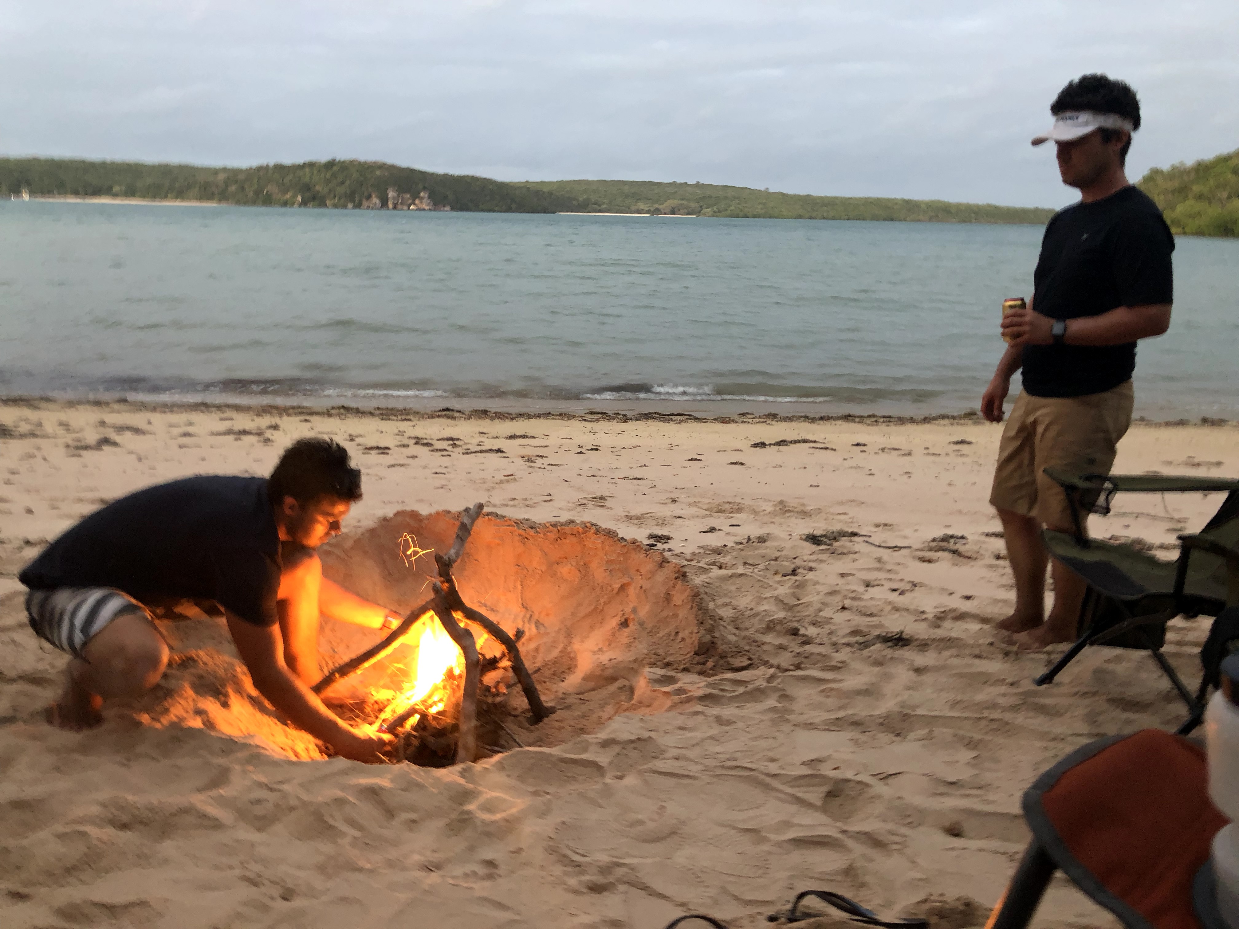
WWII plane crash sites, northernmost tip, and fishing charter done, it was now time for us to chill for a bit and scope out some of the best beach camping in Australia (most of it absolutely free, although with no facilities to speak of – that means bring your shovel to dig yourself a bush toilet!).
Some of our favourite spots were:
Of course, I’d be remiss to not mention the fact that despite making it through all that dirt, gravel, sand, mud, and water all the way from Sydney to here…we got bogged. PROPER bogged in fact, snapping our winch rope (which was admittedly getting old, and should have been replaced before we left Sydney, but we ran out of time), and requiring our friends (thanks again Sake!) to double up a snatch strap while winching AND use a set of max tracks to get us out!!
Sadly, after nearly two weeks of tracks, campsites, swimming holes, and fun, it was time for the OTT crew to break up: Sake and Biz heading back to Real Life, jobs, dogs, and homes, and Panic continuing on our trek around the country. We bid farewell to our newfound friends, and once again it was just us and the Jeep on the road again.
Well, soon to be us and the Jeep anyway – first, it was just us on a boat, as we hopped a tour up to beautiful, tropical, quiet Thursday Island.
Thursday Island (Wikipedia article) is one of the Torres Strait Islands, the Torres Strait being the channel of water north of the tip of Cape York between Australia and the Southeast Asian nations of Papua New Guinea (or PNG) and Indonesia. TI is the main administrative and commercial centre for the Torres Strait Island, but I have to say, we found it preeeettyyy sleepy when we were there (granted, on a Saturday, when most things were shut). There wasn’t much going on, but we had a nice walk circumnavigating the island, gazing at the beautiful bright turquoise waters and enjoying the scent and sight of the frangipani blossoms, before settling in at the pub for a bite and a drink. Not a shabby way to spend a Saturday, to be honest.

And with that, our time at the tip had come to a close. On Monday, while the rest of the OTT crew was back to work, it was time for us to get back to it as well, and on with the Big Lap.
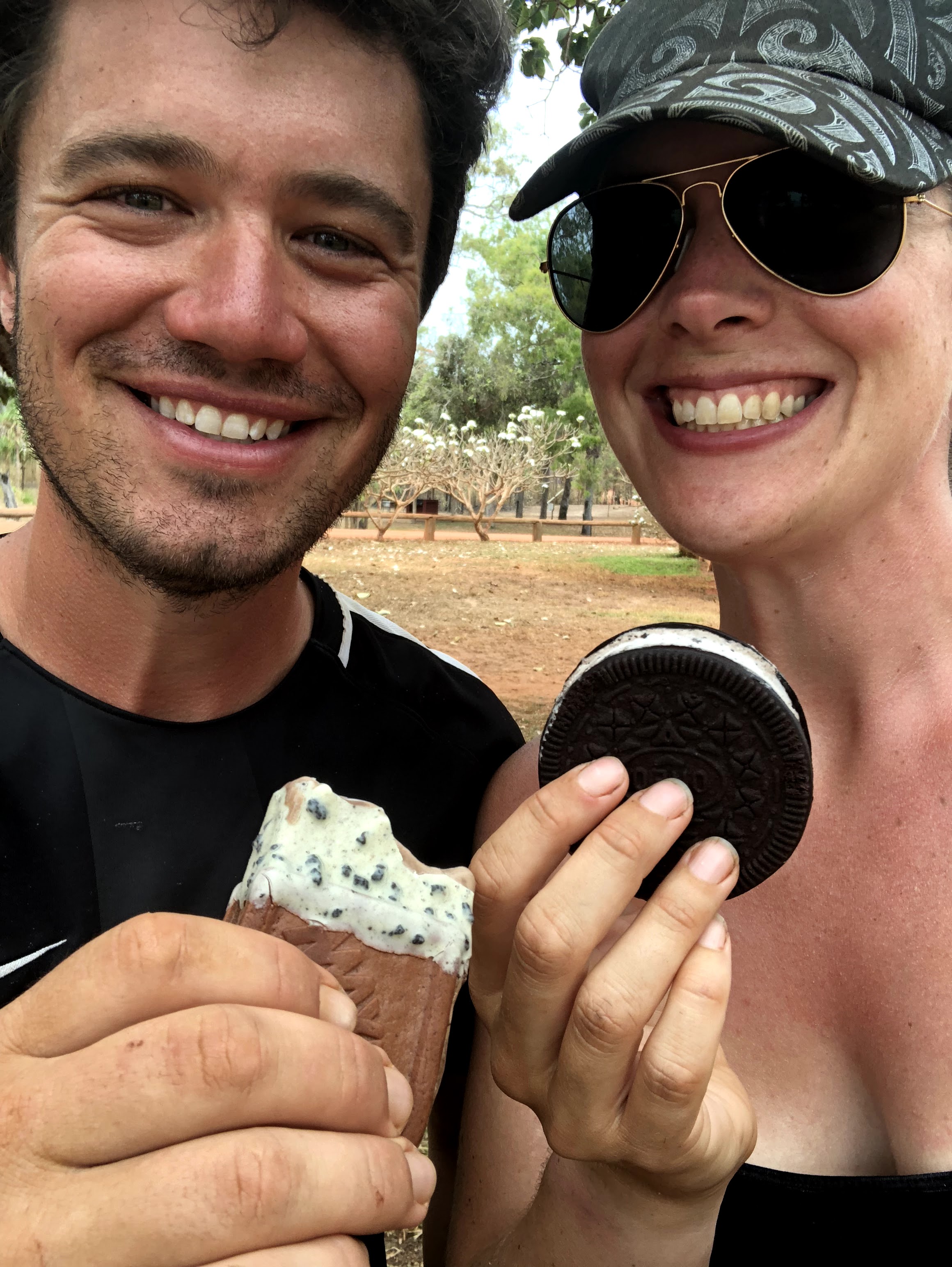
MVP: I scream, you scream, we all scream for…. As the weather gets hotter, We’ve consumed SO MUCH ice cream. It’s averaging around highs of 30 to 35 during the day, too hot to do much in the mid-afternoon except sit in the shade and have a nice cool treat! Don’t talk to me about the days the supply truck was late heading up to the tip and all the ice cream freezers were totally cleaned out and empty as the population up here panicked and stocked up…
So, Where Exactly Is This?
Here’s a screenshot of this leg of the journey from WikiCamps! The red is what we’ve already covered, and the green is what was featured in the post you just read. You can also follow us live at this link – our satellite device pings our shared map frequently.
*Note: WikiCamps doesn’t always recognise dirt tracks as roads, so there’s a lot of our route missing from the first map! I’ve left all the icons in this screenshot for points of interest and camping areas – rest assured we hit them all, despite the route not showing it!!


2 Comments
Chris Kennedy
This blog was wonderful, especially the fishing trip video – I had a smile on my face the whole time. I’m running out of superlatives as your adventures are truly awesome. Love you guys WAMHASAB – Mom
Pat Procter
Wow.. that was a fantastic read and fun video and stunning pictures . So glad you are both enjoying Australia..no education and learning like travel. Thanks for sharing..looking forward to your next update?