Judbarra (Gregory) National Park & Lake Argyle
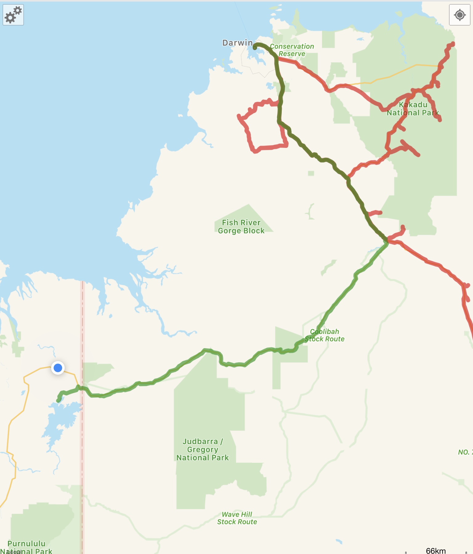
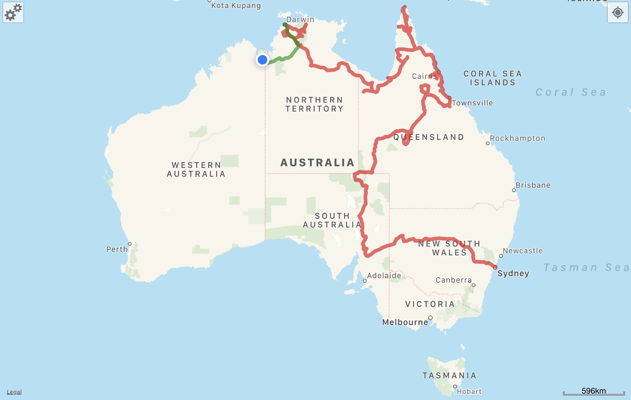
This post covers from 3 October 2018 to around 5 October 2018, when we travelled from Darwin through Judbarra (Gregory) National Park to Lake Argyle at the southeastern edge of the Kimberley region of Western Australia. Here’s a map of the area covered in this post in green – areas we’ve previously written about are in red.
You can also always follow us live at our mapshare link, which is frequently updated by our satellite device. It’s been stationary here in Kununurra for about 3 weeks now, hopefully we’ll be on the move again soon!
Since before even beginning this trip, WA (Western Australia) was one of the parts of Australia that Nick and I couldn’t wait to explore. It’s basically half the country, containing beautiful and untouched areas like the Kimberley and Pilbara, along with a reef system (Ningaloo) that rivals the Great Barrier Reef, wine country, beaches (safe-ish for swimming!! — you won’t immediately risk death by saltie (crocodile), but there are still sharks and jellies). Tasmania and WA are also the only states we haven’t visited yet in our 4 years of living here. So needless to say, we were pretty pumped upon leaving Darwin and heading west!
Our first stop on the way to WA from Darwin was a brief overnight in Judbarra (Gregory) National Park, near the NT/WA border on the NT side. Judbarra is a place we’d visit again, as there are countless 4wd tracks within the park, but we’d want it to be a little cooler. Sleeping at night is getting pretty tough with the warm temperatures and humidity up here, and it’s impossible to stay in the tent much past sunrise because it’s just too hot.
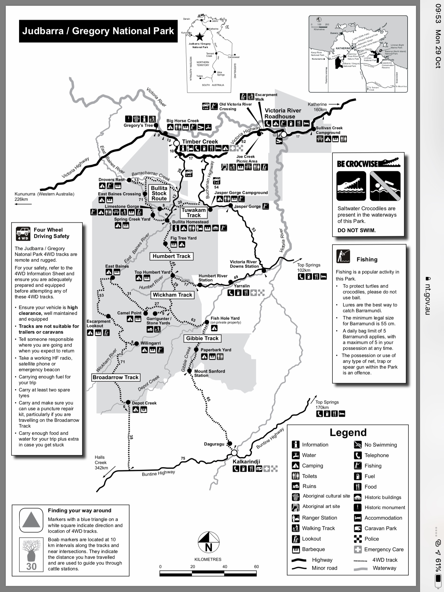
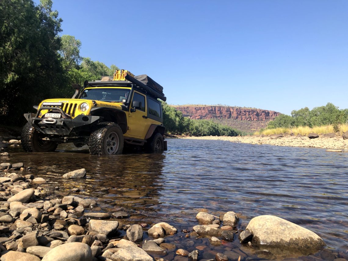
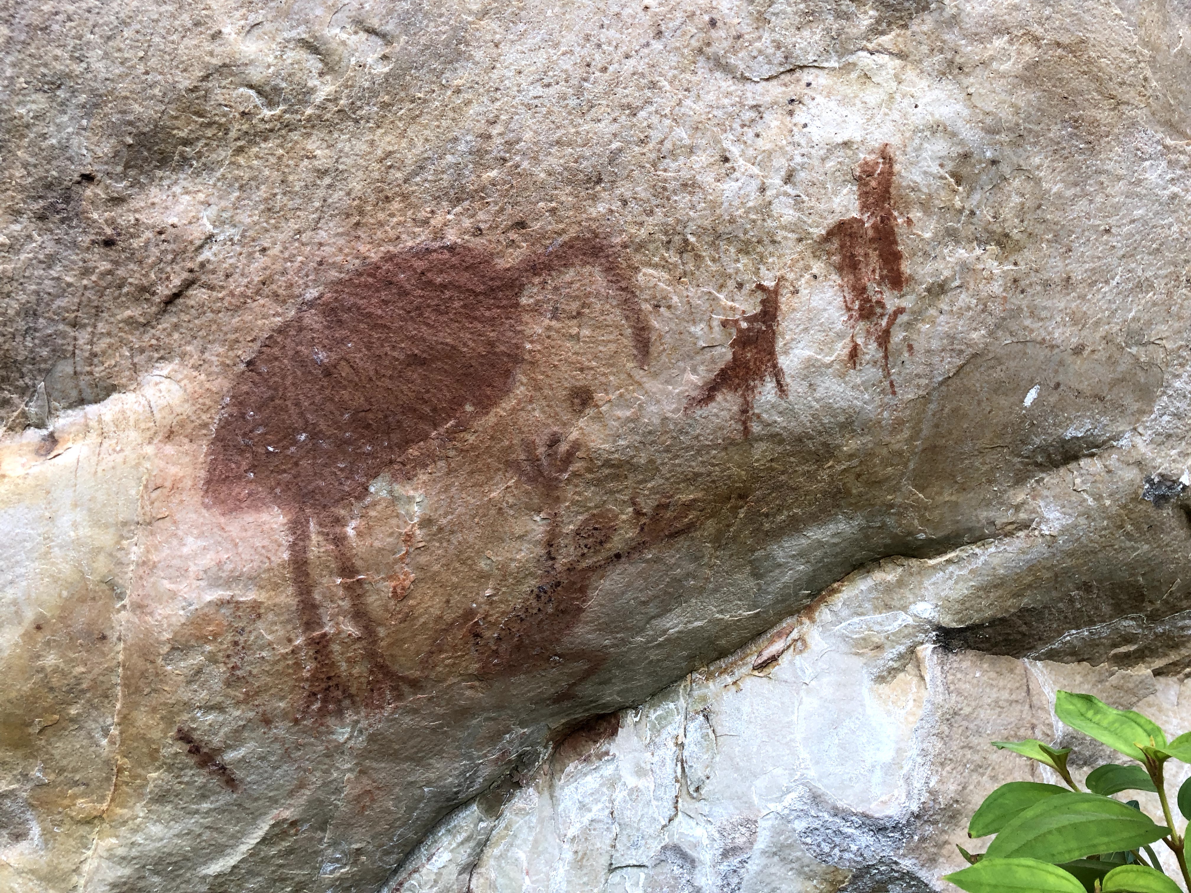
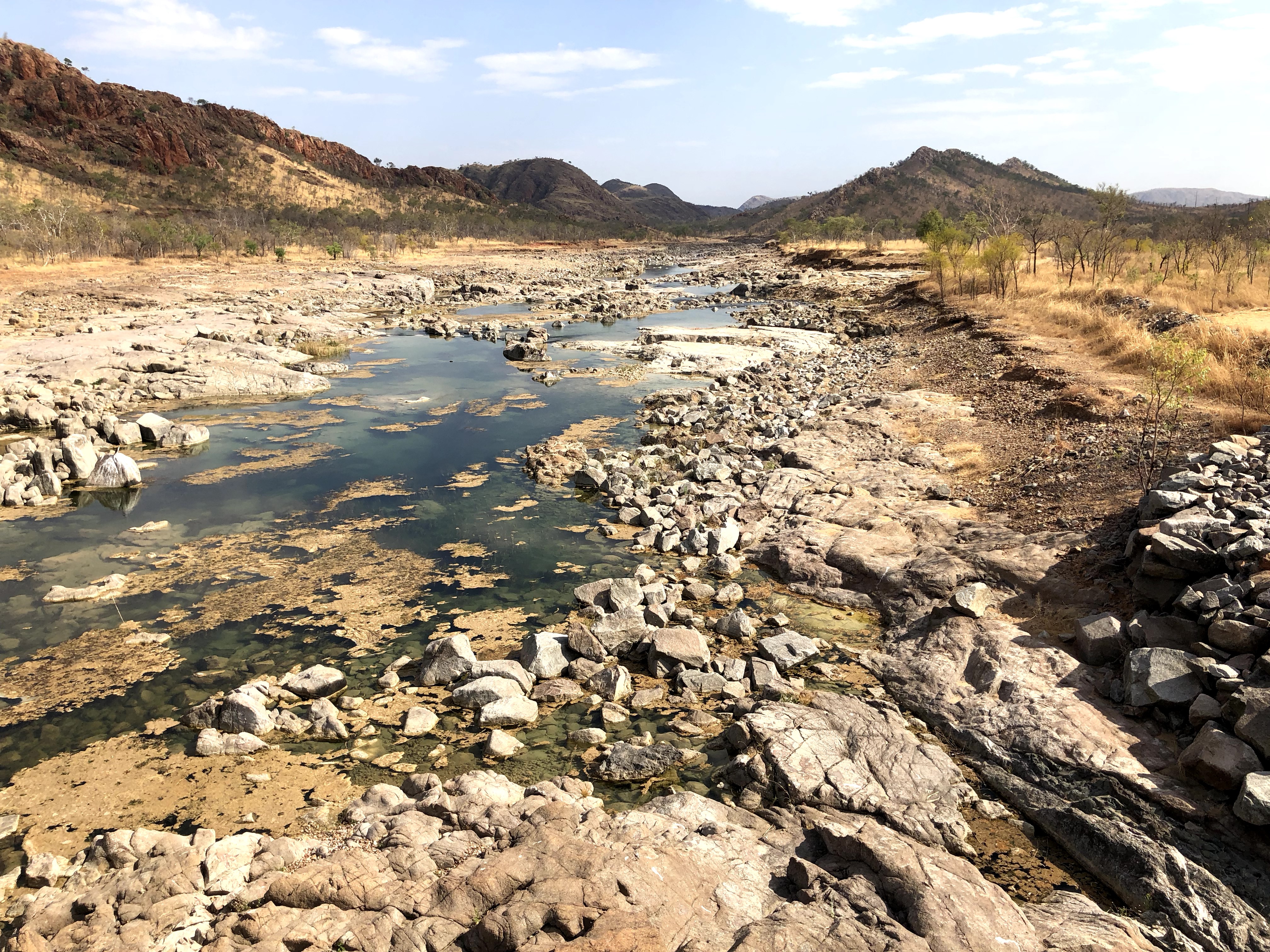
We managed to find time for a little play in Judbarra even though we weren’t staying long – we checked out the old Victoria River crossing which was used prior to the main highway being built, and we hiked along an escarpment to check out some more rock art.

From here, having spent heaps of time at the National Parks in the NT, we were pumped to get on with Western Australia!!
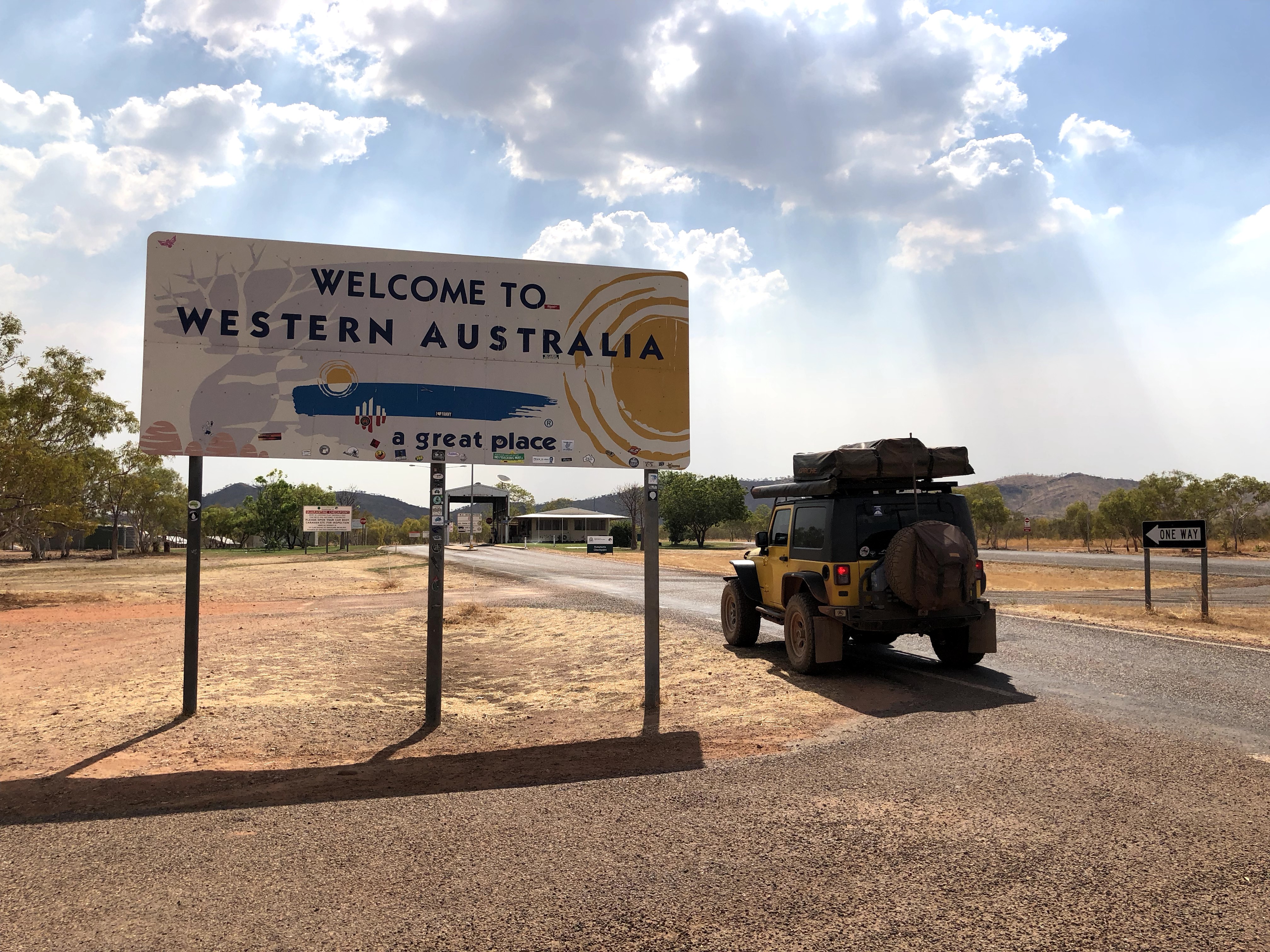
First, a note on quarantine restrictions – WA has some pretty strict food quarantine laws. There are often quarantine rules between states and even between parts of states (like up in the northern part of Cape York). Just after we took the photo of the Jeep in front of the “Welcome to Western Australia” sign, we pulled up to a quarantine booth where there was an actual person (staffed 24 hours a day, 7 days a week, which we’d never seen before) and where they actually pull out your fridge and have a look inside! We (obvs) weren’t trying to smuggle anything across and were pretty well prepared for the quarantine station, having done our research ahead of time, so the only thing we lost was a tired head of broccoli we hadn’t felt like eating the night before.
As we rolled out from the quarantine station, the employee reminded us to set our clocks back, as WA is 1.5 hours behind NT, and also gave us a heads up that the road into Lake Argyle would be closing at 3pm due to an uncontrolled bush fire! Apparently there were 2 or 3 bush fires in the area and they were at risk of converging, so authorities wanted to keep the road clear for fire services. The road even ended up being closed the entire following day. Luckily we aren’t exactly on a tight schedule.
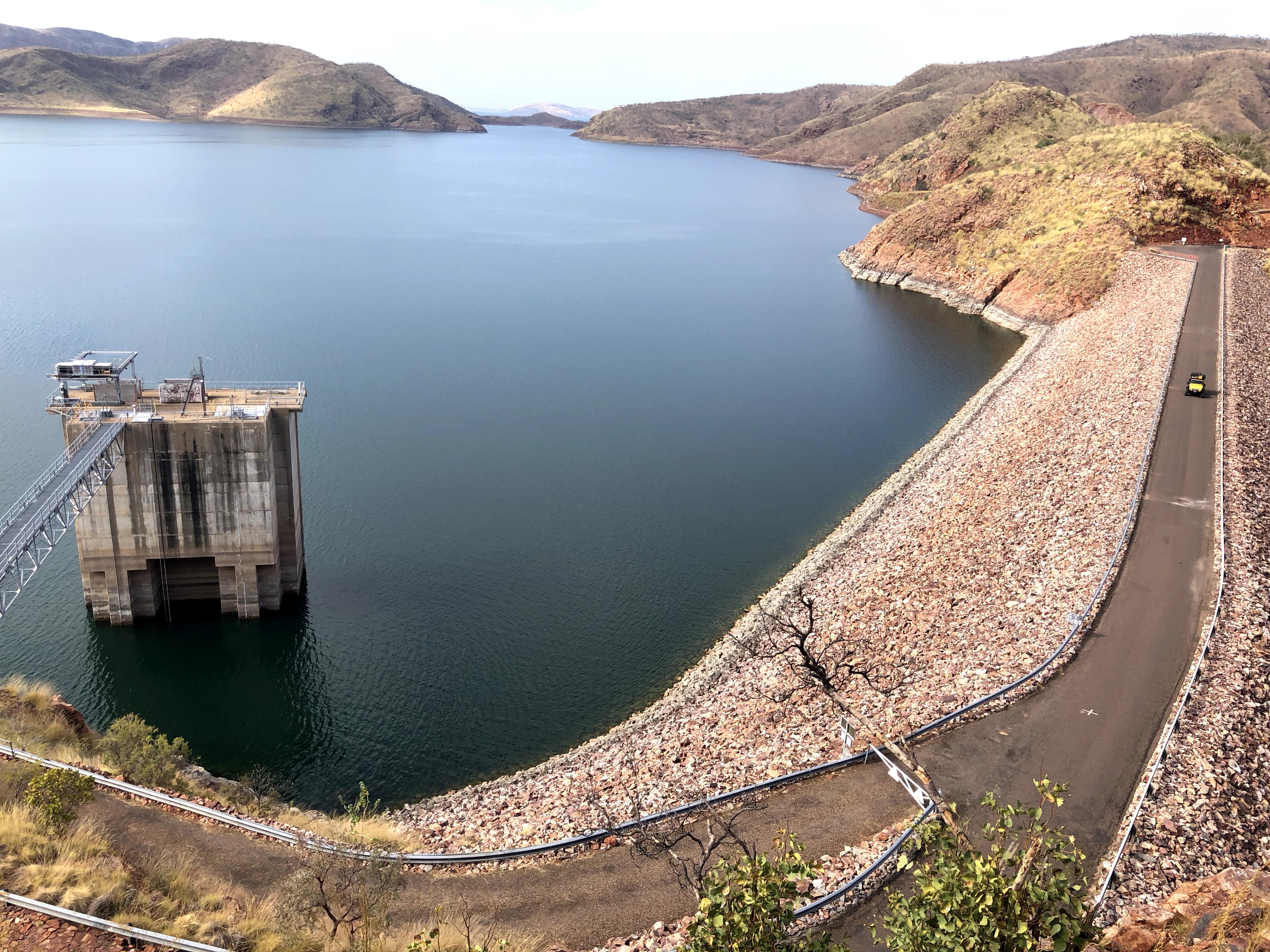
Our first stop in WA was Lake Argyle, which is Australia’s second-largest man-made lake. We were looking forward to Lake Argyle, having consumed all of Expedition Australia’s content while we were planning this trip, and Lake Argyle was one of their favourite places. We rolled into the campground/caravan park, and immediately knew we’d found a special place, just from the resort alone.
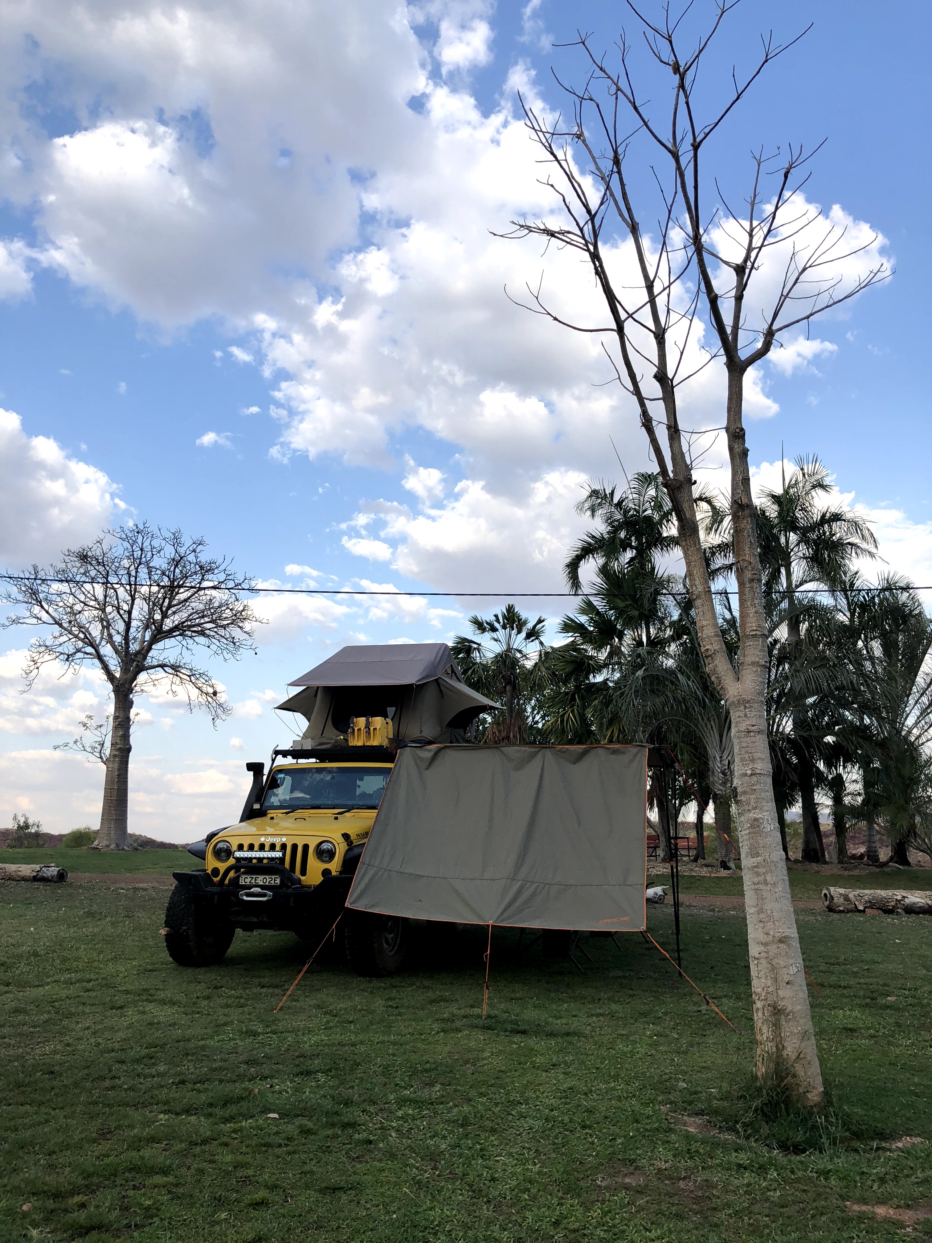
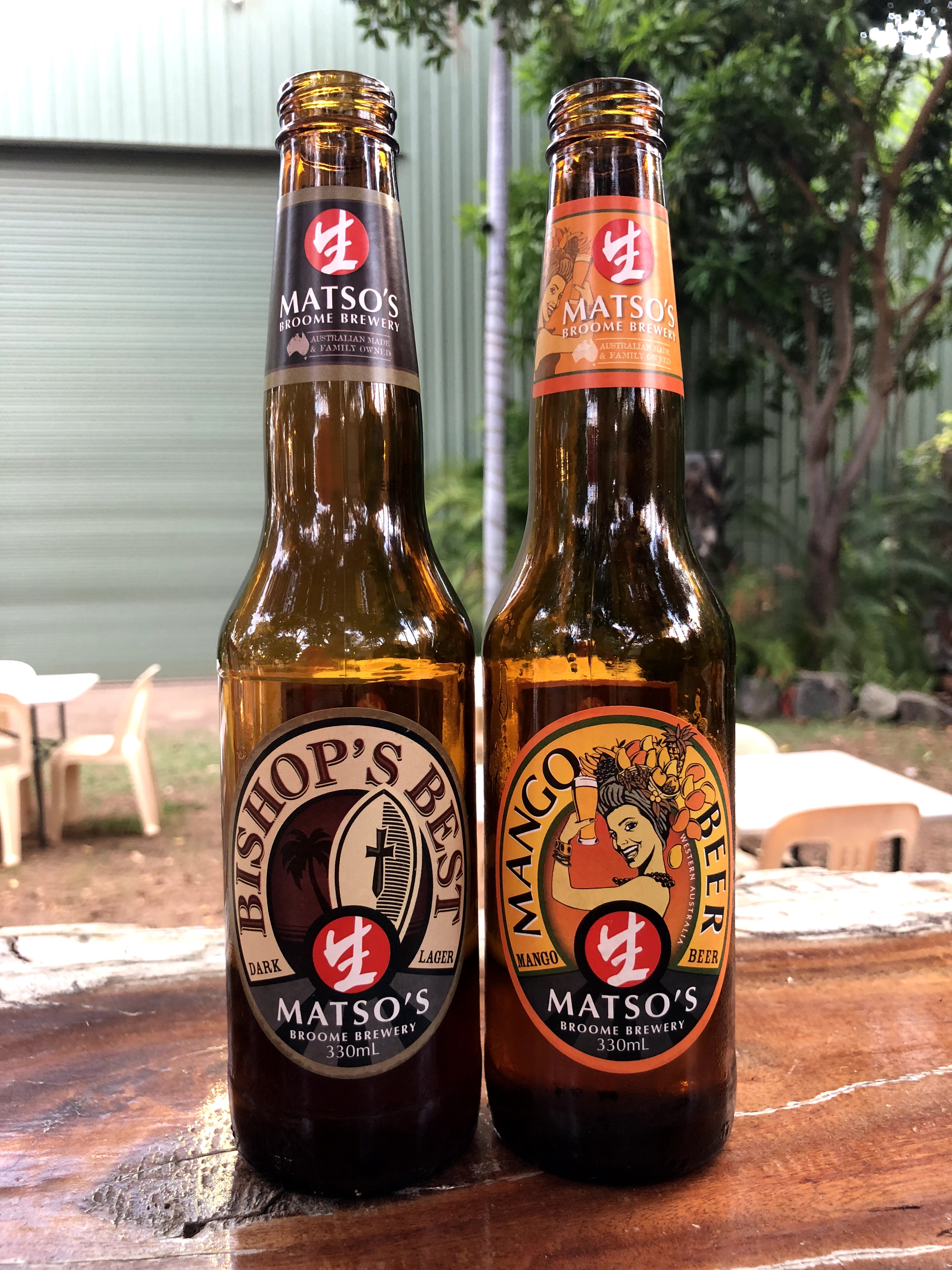
We spent two nights (but just one full day) at the resort, relaxing and swimming and enjoying the surrounds, drinking quite a few Matso’s and not worrying too much about anything else, but two nights was enough for us and the rest of the Kimberley (the north-west corner of Australia) was calling us. We needed to move on. Our plan was to have a big day that day, driving about 400km on dirt roads to Purnululu National Park and the Bungle Bungles before sunset, via a stop at the dam wall for some photos, and in Kununurra for groceries (remember we had given up all our produce at the WA border, so we were pretty hungry for fruits and veg!).
Lake Argyle holds 21 times the volume of Sydney Harbour, which is absolutely ginormous.
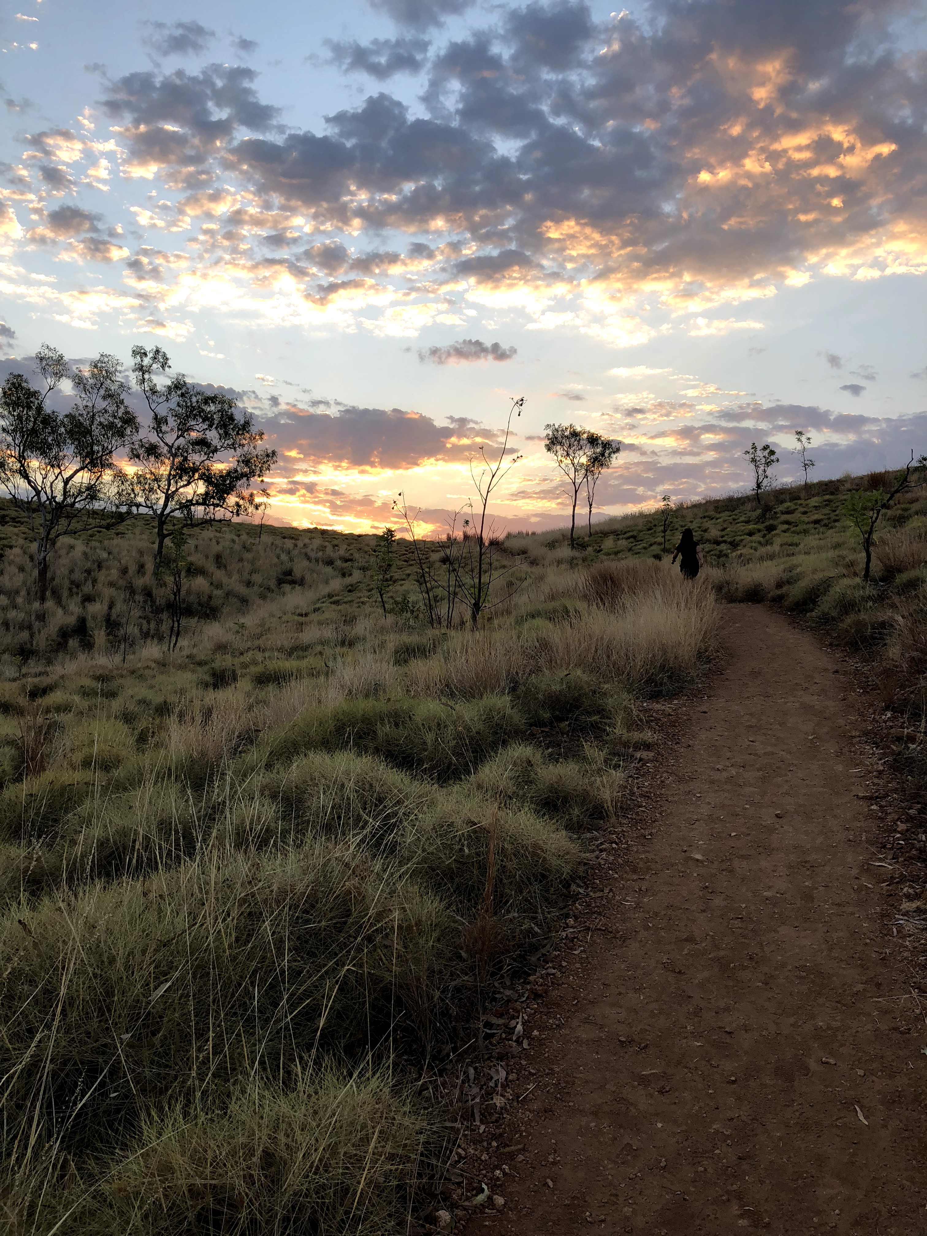
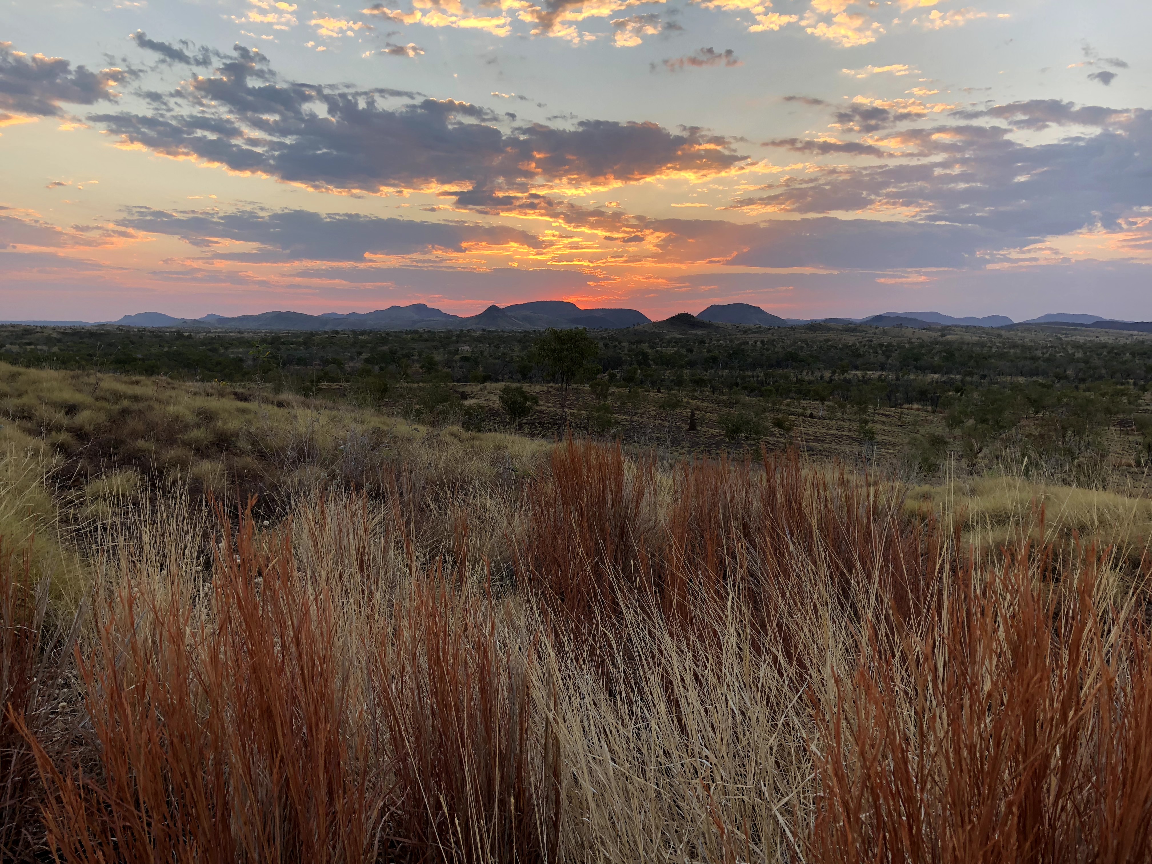
Can I just say, two days in, and we were already starry-eyed admirers of this area of the country. Here’s the view from a roadside stop where we paused for a snack. Everywhere you look is just ruggedly beautiful. We are just so excited to be here and feeling so lucky to be able to do and see all of this together.
The Kimberley is the northernmost region of Western Australia. It’s about 424,000 square km, which is twice the size of the United Kingdom, and has a population of about 50,000 people. It was first settled about 41,000 years ago. Needless to say, this place is ancient, relatively untouched, remote, and stunningly beautiful.
We’ll continue our exploration tomorrow with two hikes in Purnululu National Park, home of the World Heritage listed Bungle Bungle rock formations, a quick trip out to Wolfe Creek crater, and…spoiler alert…a badly broken Jeep ? ?


2 Comments
Ted
Yo, the mapshare link innit working…
Pam Wright
Thanks mate should be right now!