Copley to Muloorina
After a nice hot breakfast at Copley (and a quandong pie for the road!), we were in for another big day of outback sightseeing and a lovely evening watching the sun set over Lake Eyre at Level Post Bay.
The first stop was Farina, just 57km north from Copley.
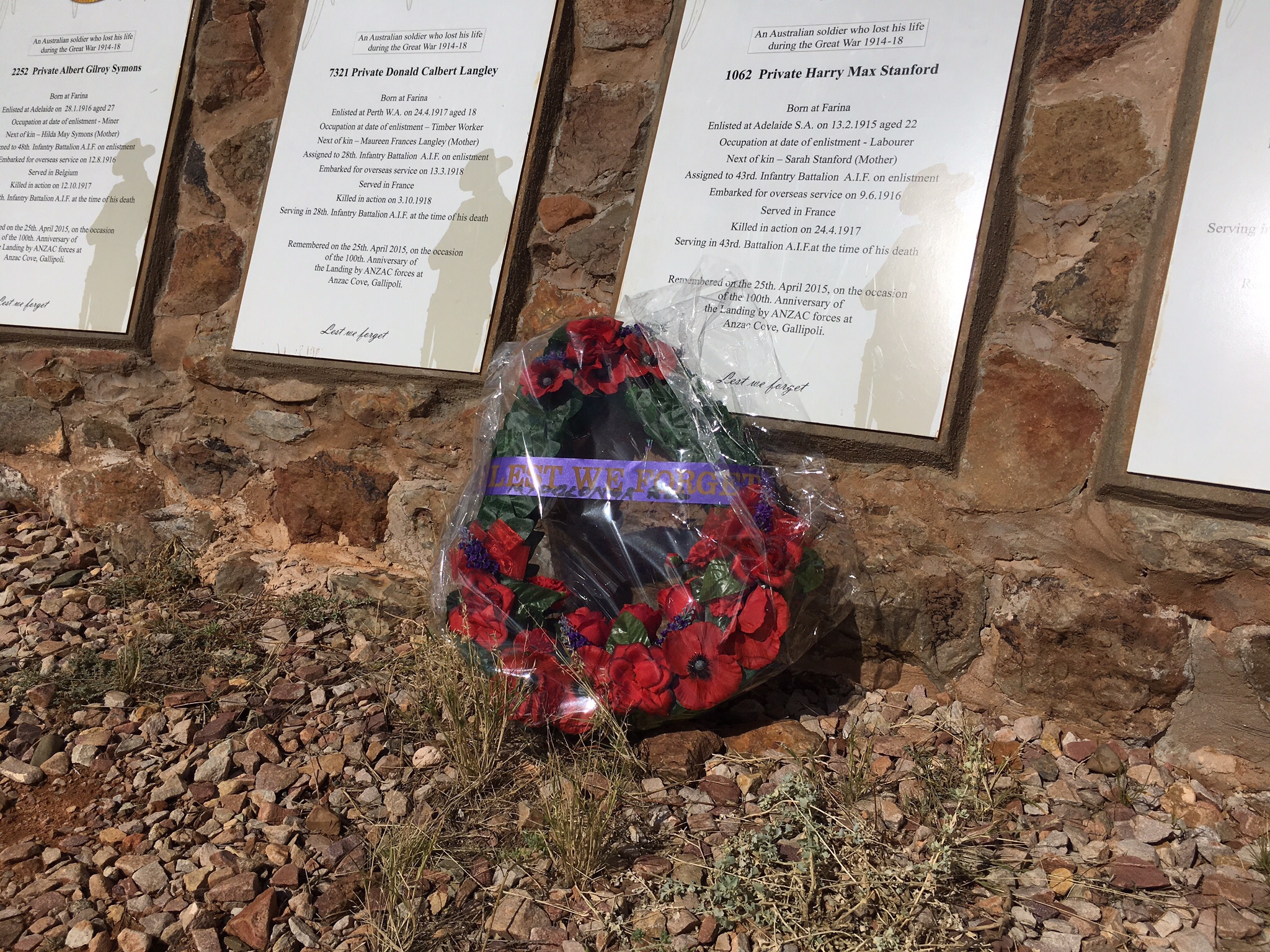
Nick and I felt rather nostalgic about Farina as we’d camped there last year around Anzac Day (Similar to Remembrance Day but dedicated to the Australia and New Zealand Armed Corps, for our North American friends and family).
On that trip we rolled into camp after a couple weeks of rain and were relieved to see sunny skies overhead. Ironically, overnight a huge storm rolled through, flooding the campground and soaking everyone who wasn’t in a rooftop tent or caravan! We were awoken at midnight by our fellow campers shouts as they packed up their gear and moved to higher ground. The next morning was more peaceful, as the storm cleared and we had a lovely sunrise for a small dawn service (an Anzac Day tradition).
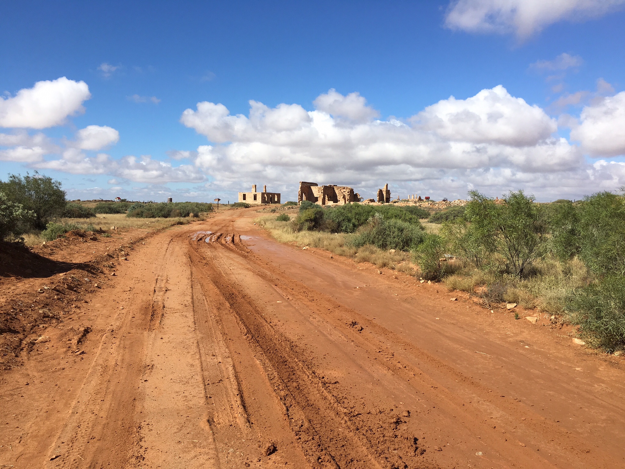
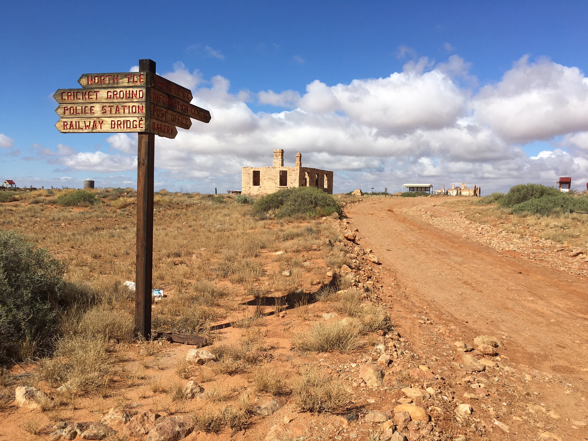
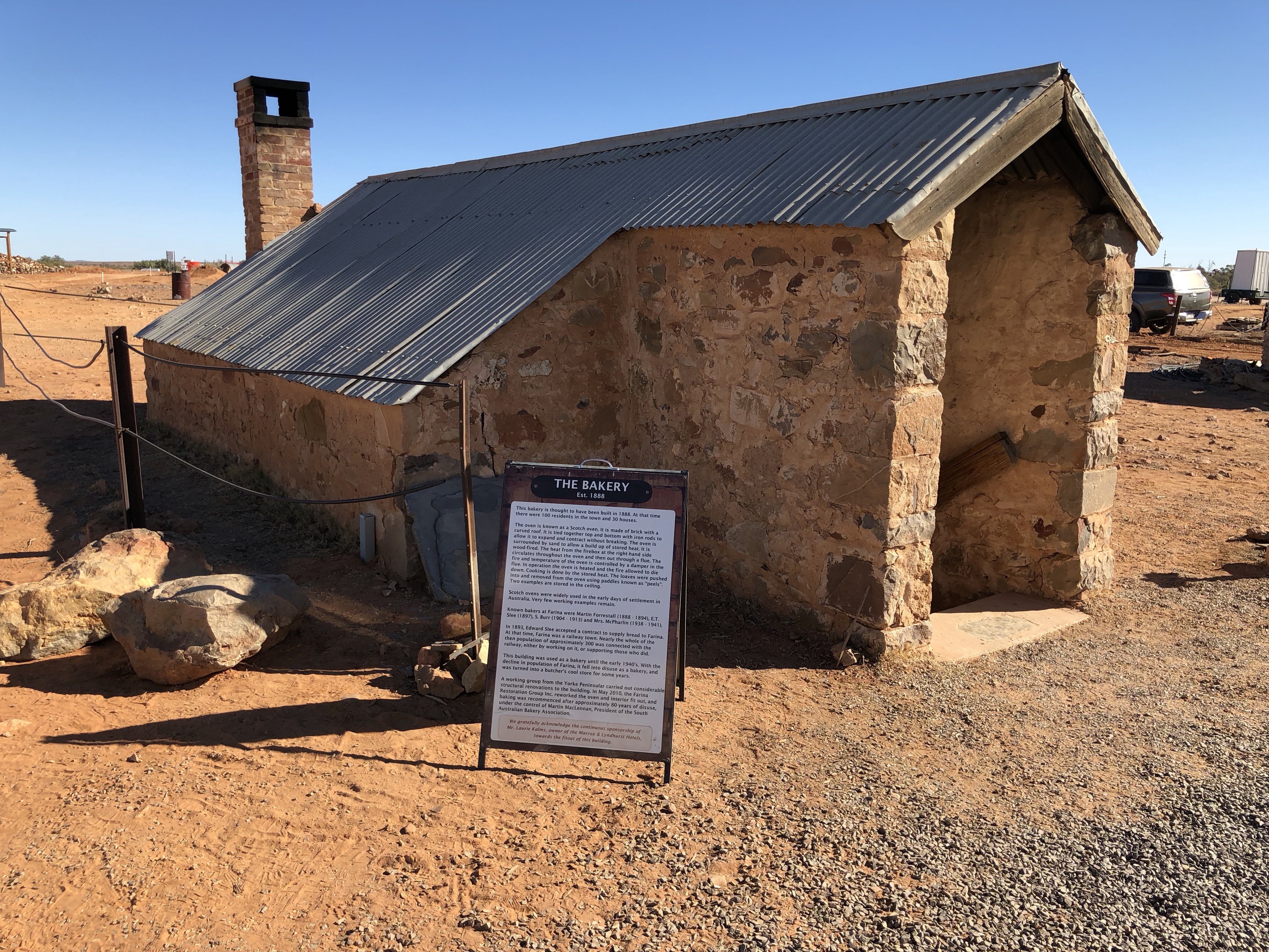
Farina used to be a relatively major outpost (highest population of 300) on the old Great Northern Narrow Gauge railway line, and many of the old town buildings are still present in the form of stone ruins. When we visited in April 2017, there was some restoration work being done, and informational signs. But we didn’t realise that the Farina ruins had something else to offer during the high season…
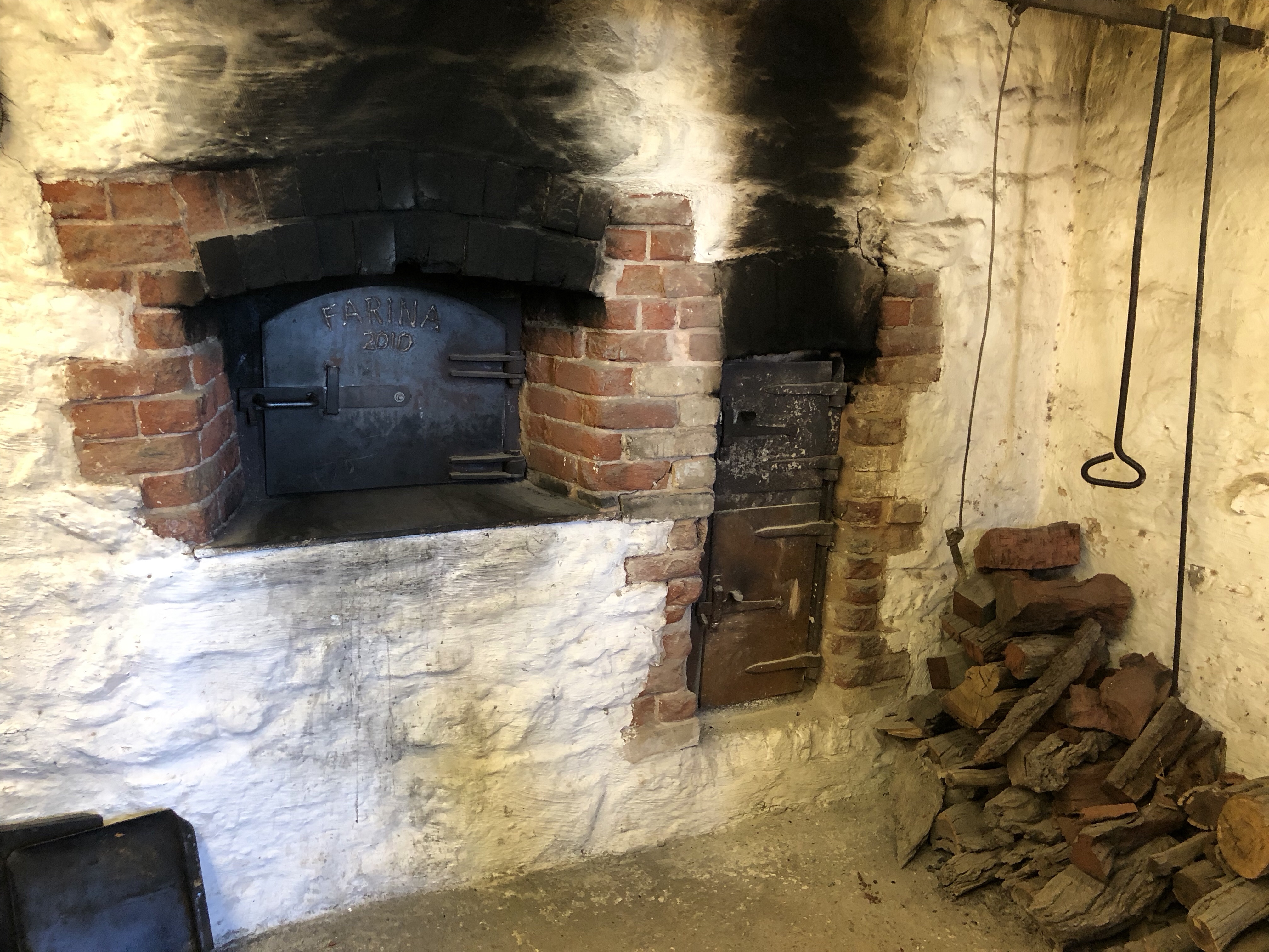
Volunteers turn up during the high season (June/Julyish) and run a cafe and bakery for visitors! The (rather delicious) bread is even baked in the restored ruins of the old bakery, in a rare, working Scotch oven. They’ve been seeing increases in traffic every year and the day before we arrived, had sold the most loaves of bread in one day that they ever had (400 if you were curious). A pretty amazing feat considering the bread needs to be baked only a few loaves at a time in the tiny oven, and that the whole operation is run by volunteers.
Honestly, I could write a whole blog post about Farina, but we’ve got a few more destinations to cover for this day (told you, a big day!).
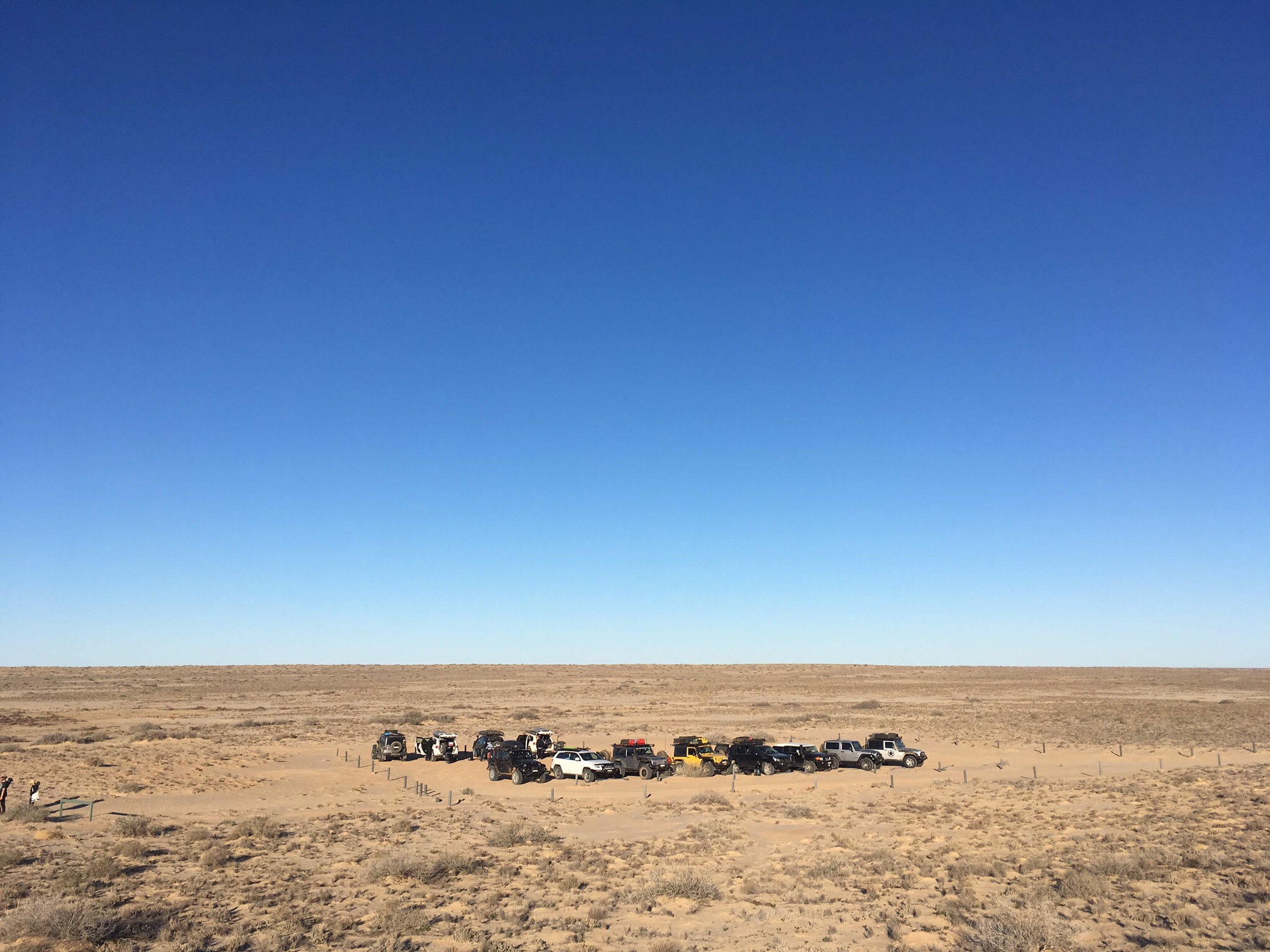
From Farina it was on to Marree for only a brief fuel stop (we’ll spend more time there tomorrow), and then off the beaten track over to Muloorina.
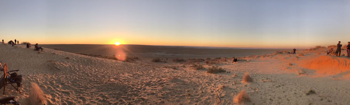
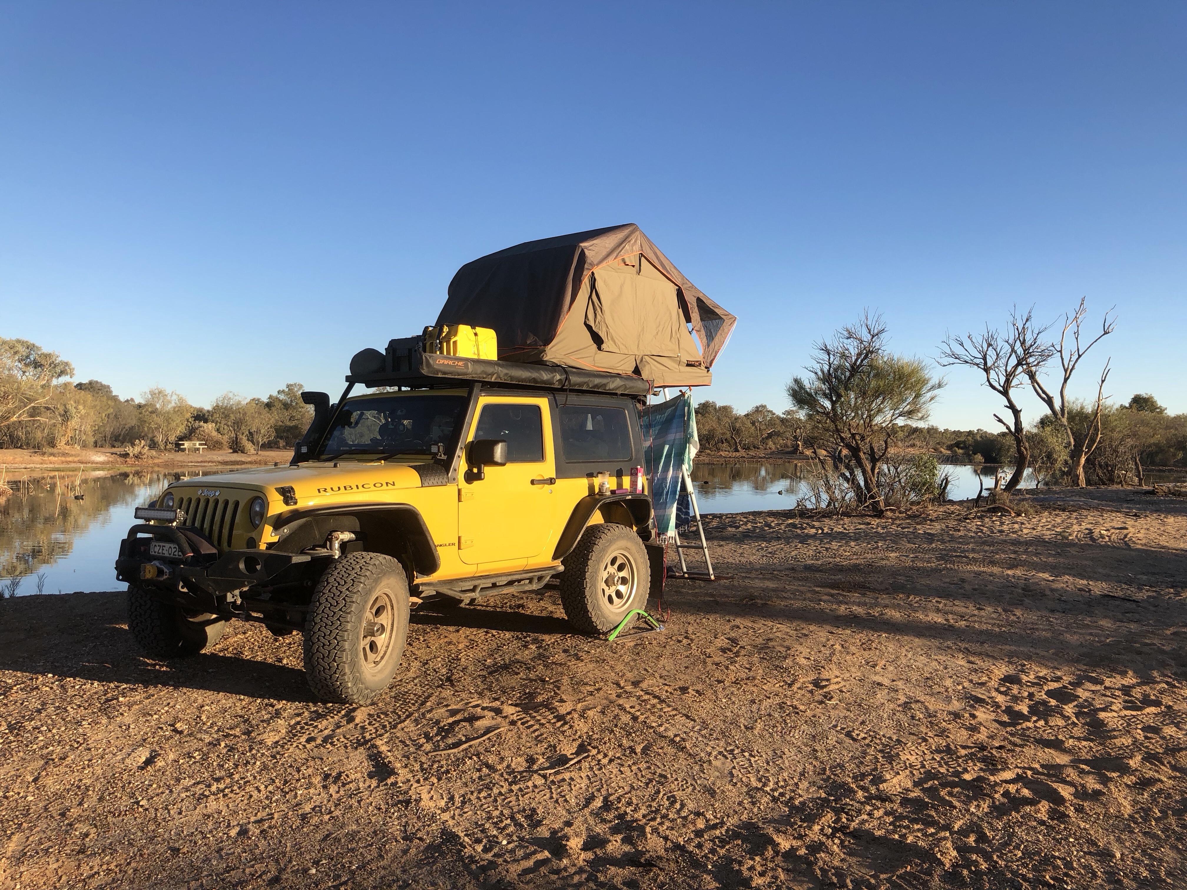
Muloorina is a cattle and sheep station occupying over 4,000 square kilometres. Luckily for us (triple lucky, are you ready for this?), they also run a campground (for a small $10 donation to the Royal Flying Doctor Service), have a natural Artesian (not artisan) hot spring, and the campground is located a quick(ish) 46km drive to Level Post Bay at Lake Eyre.

Lake Eyre is the lowest natural point in Australia at 15 metres below sea level, and when it fills with water (very, very rarely) is the largest lake in Australia. Lake Eyre is another sight that we missed on our last trip, we drove the Oodnadatta track and came quite close, but couldn’t afford the 60km+ detour and overnight camp it would’ve required. We were so jazzed that Dave had built in a sunset viewing for the Jeep club!


Tomorrow, it’s on to Marree and then Mungerannie!
MVP: the saw we packed for this trip (can be seen leaning against our rear tyre in the photo of the Jeep at the campsite). There’s frequently nowhere to purchase firewood in remote areas and especially not around the desert, so gathering dead fallen timber is necessary if you want to have a campfire (which you definitely do, because the temperature drops to about 5C soon after sunset). While gathering wood at Muloorina, our little saw was a hero – super valuable for cutting up branches too big to easily move back to camp.
So, Where Exactly Is This?
Here’s a screenshot of this leg of the journey from WikiCamps! The red is what we’ve already covered, and the green is what was featured in the post you just read. You can also follow us live at this link – our satellite device pings our shared map frequently.


2 Comments
Katrina
Love this. You guys are killing it.
Suggestion for the blog: maybe include a photo or map of where you are in Australia?? I love to follow and understand geographically what you are up to also!!!!!
Keep up the amazing work guys!
Pam Wright
Sure, I can do that ?