
Cape York Part Two (Frenchman’s Track)
For the last few days we kept running into another couple in a Mitsubishi Challenger with yellow jerry cans on the roof. We first saw them at Roaring Meg on the CREB, then camped near them at Lion’s Den (and Nick had a chat about 4wd’s), camped near them again at Elim Beach, saw them in Coen, and finally had burgers & chips together at Archer. They were on a shorter trip than ours (Brisbane to the Tip and back again) but had all the same things on their checklist – and so we all decided to convoy together up to the Tip.
The conversation over Archer Burgers was pretty exciting that night as the next day we were going to tackle another famous track, the Frenchman’s track. (Link to good Hema maps overview)
The Frenchman’s Track is about 70km long and was probably built by a gold miner looking for an alternate, shortcut route to the Iron Range goldfields. It’s rated as challenging and features two river crossings, the Pascoe and Wenlock. It’s easiest travelled from west to east, but we decided to go east to west, as that was the way we were travelling.
There’s no sign to mark the start of the track except some white spray paint on a tree that says “French” (left hand side of the photo below)
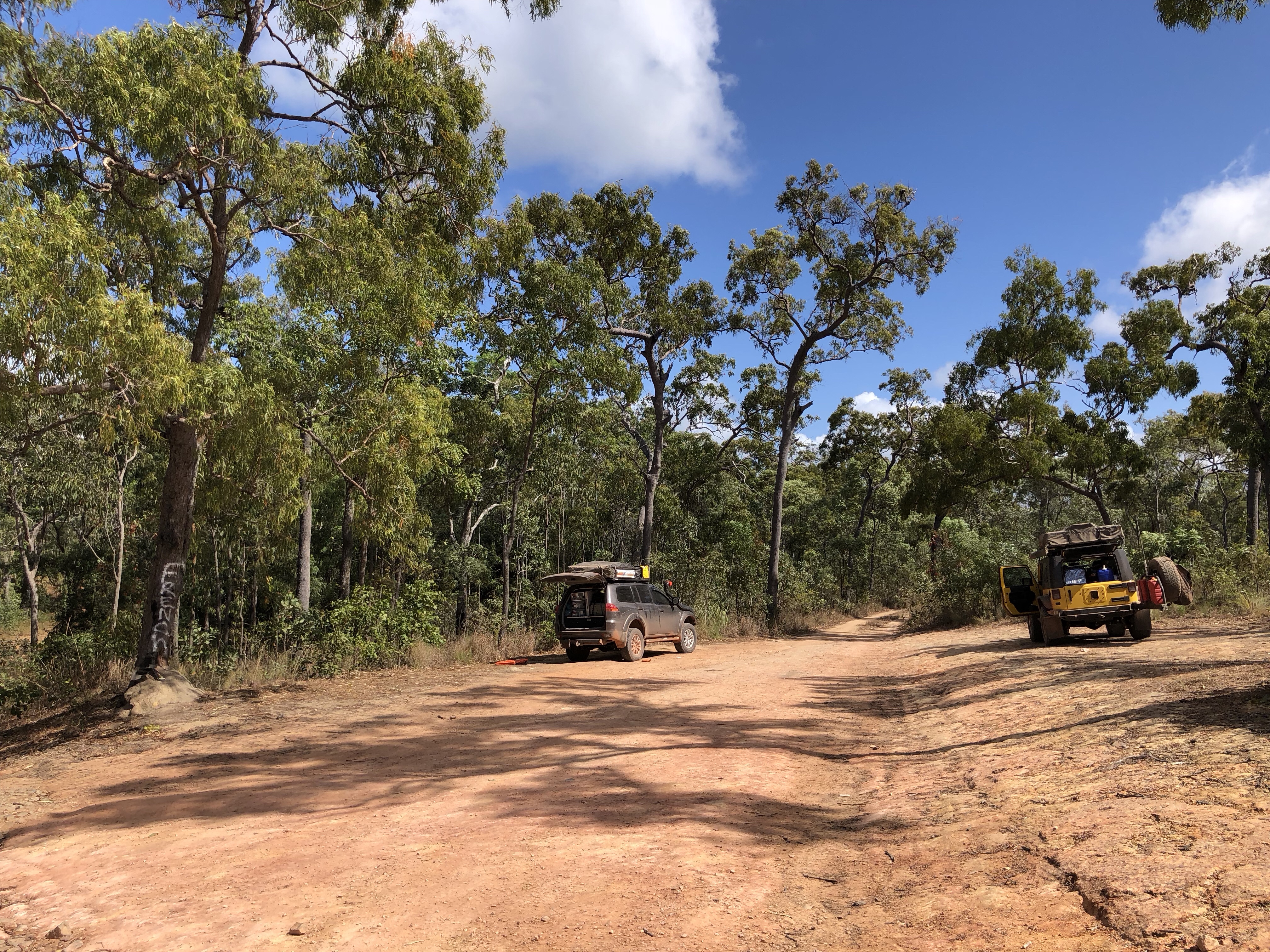
The first part of the track was beautiful white sand road bordered by trees and reminded us all of driving on Fraser Island.

Pretty quickly though things started to get a bit more technical with some steep points and washouts.

And we were soon upon the first river crossing when heading east to west – the Pascoe – Hema describes the Pascoe ford as a long deep crossing featuring submersed boulders which can smash up the underside of your vehicle – so a walking inspection is key.
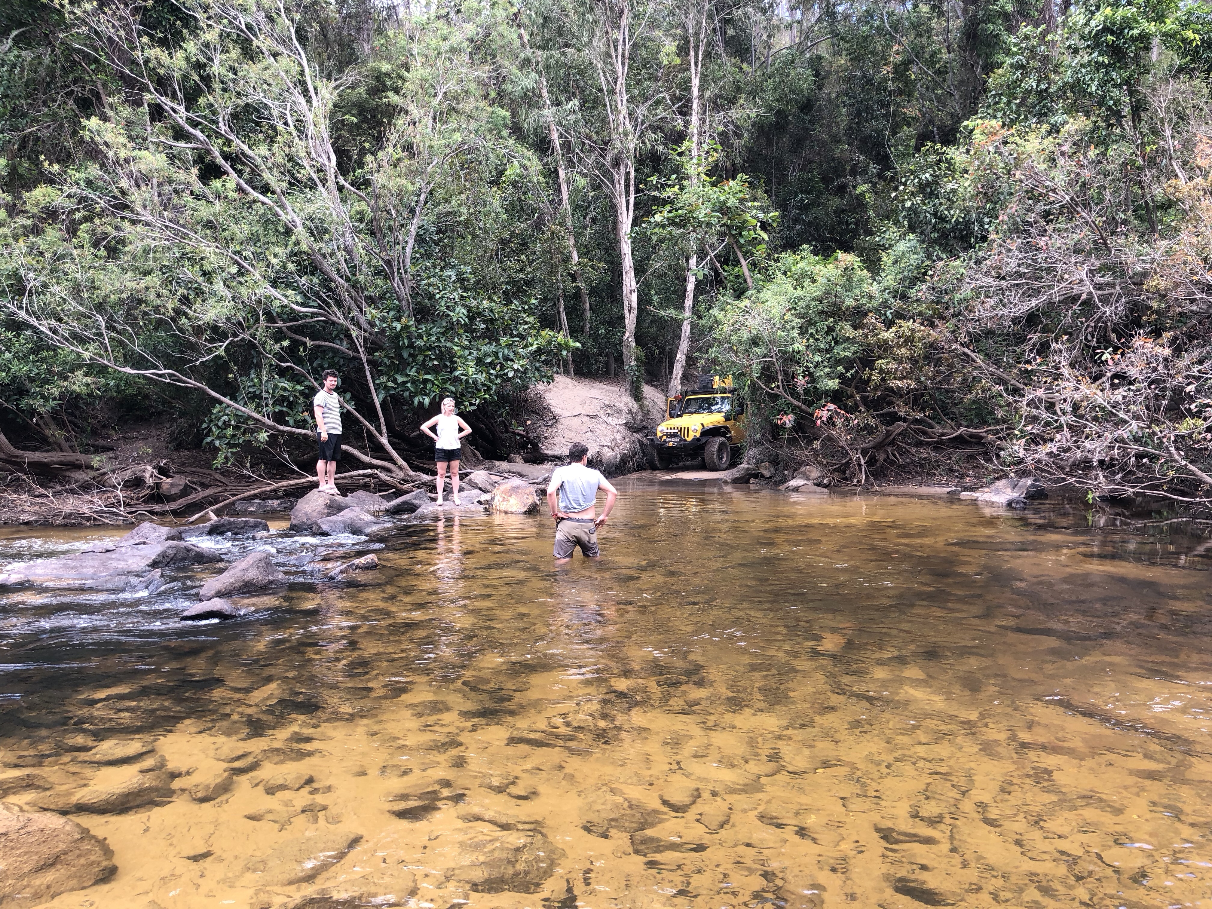
The water was about waist height on me, and we were pretty confident that with the Jeep’s height we’d be all right on the boulder front, so off we went. I’m pleased to report that both vehicles got through with absolutely no dramas, a nice confidence boost for all four of us (drivers and passengers).
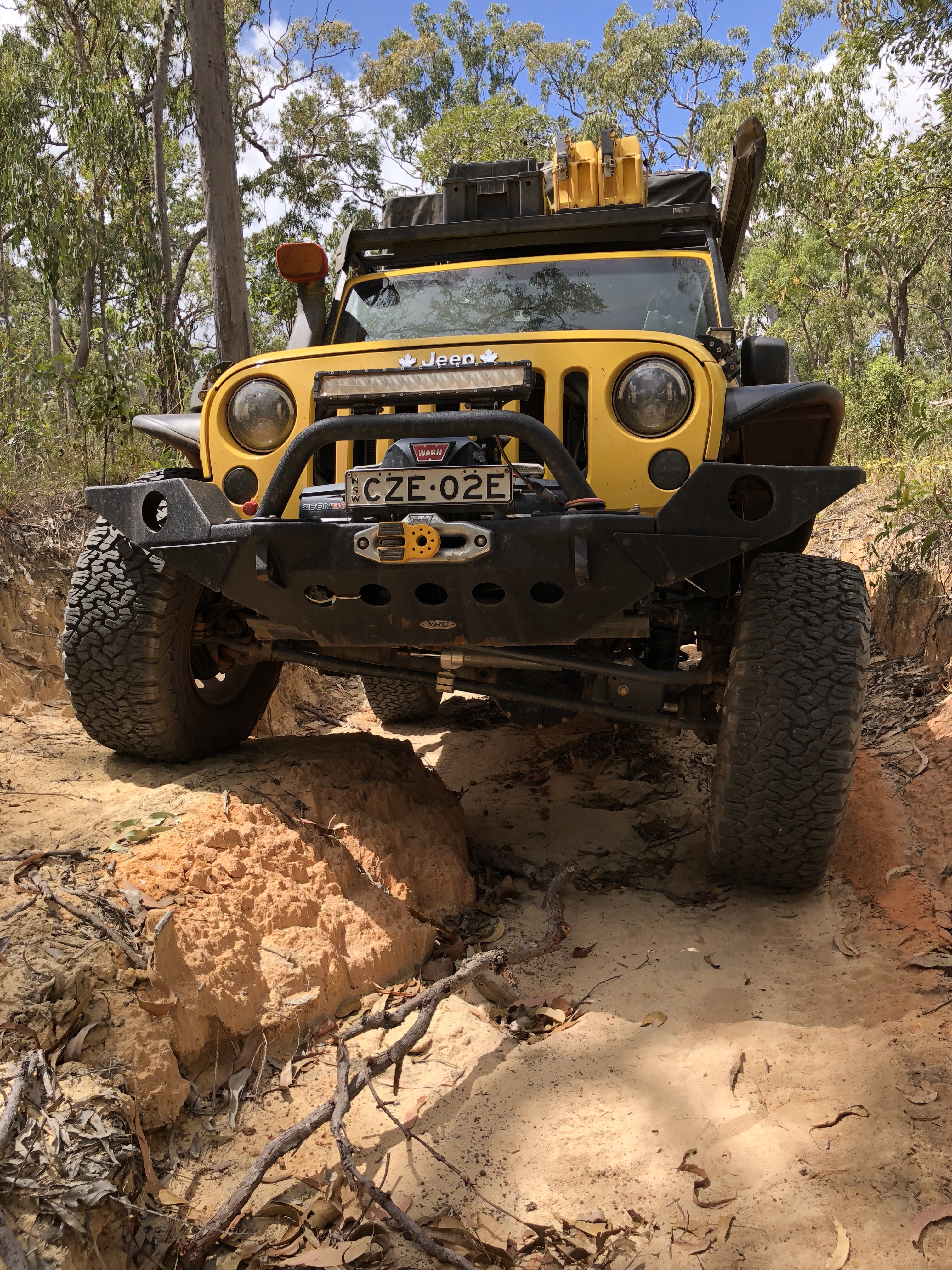
The going got pretty technical again soon, but all in good fun for the Jeep.
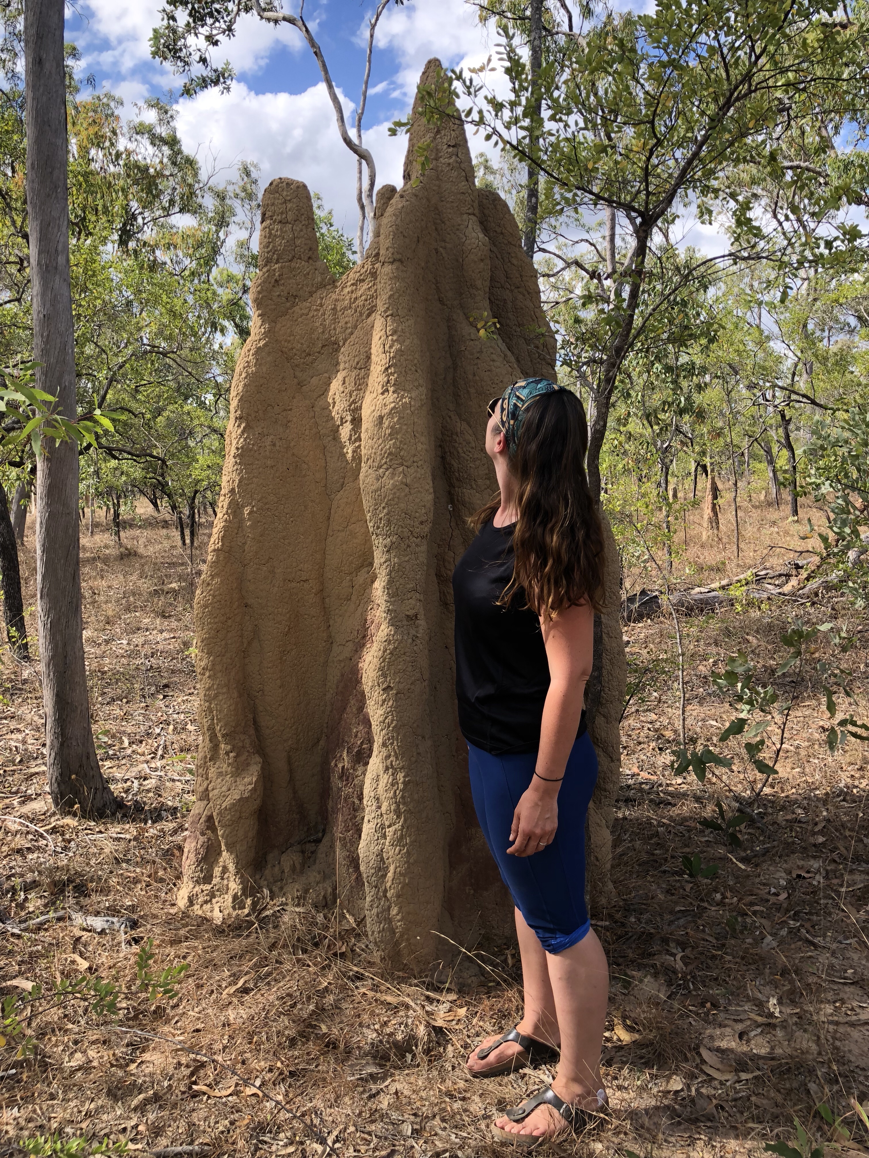
Along the way there were also these absolutely massive termite mounds. They were huge and demanded photographic documentation!!
Around lunchtime we hit the Wenlock River, the second and final crossing of the Frenchman’s Track. This one is not too tough, fairly shallow with a sandy bottom and was a lovely spot to stop for lunch and to dip our feet in the water.

After the Wenlock was forded it was a fairly easy 12km back to the main road, and a celebratory photo op at the end of the track! (Or start of the track if you were doing it from west to east).
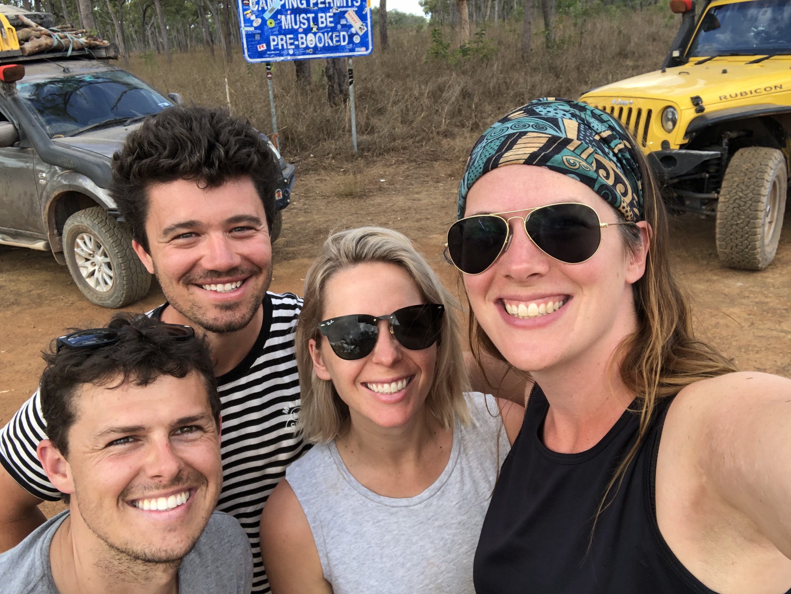
The weary but proud convoy camped at Bramwell Station that night. Bramwell Station has a great thing going during the dry season up here, they offer a traditional station buffet dinner with live entertainment every night for campers. Of course we booked a table and absolutely feasted on steak, beef sausages, beef rissoles, vegetables (vegetables!!!), and homemade damper (bread).


Bramwell Station is a landmark in and of itself as perhaps the most famous track in Australia starts here…the Old Telegraph Track. In the morning it would be time to tackle every 4wd’s dream, which deserves a blog entry all its own so..stay tuned.
So, Where Exactly Is This?
Normally we’d have a map here, but unfortunately WikiCamps doesn’t recognise the Frenchman’s Track as a road (lol). But check out the Hema article on the Frenchman’s for a good map and overview. You can also follow us live at this link – our satellite device pings our shared map frequently.

